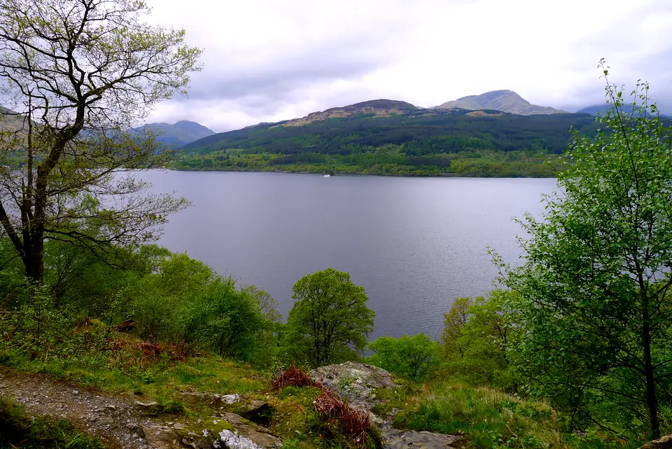

Rowardennan to Inverarnan
Directions to Rowardennan car park (Google Maps, opens in a new tab)West Highland Way, stage 3, up the east shore of Loch Lomond
Verdict
Go if you can walk 22.5 km on rough ground, or will split the day at Inversnaid.
Skip if the burns are in spate or you have no bed booked at the end.
- Rowardennan. The start, 0 km. The only toilets on the stage are here. Hotel, youth hostel, campsite and car park.
- Rowchoish Bothy. About 6.6 km. The low path section from Ptarmigan Lodge to here reopened in July 2026 after path work.
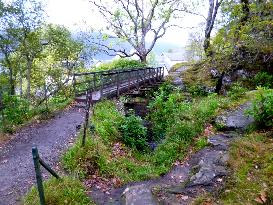
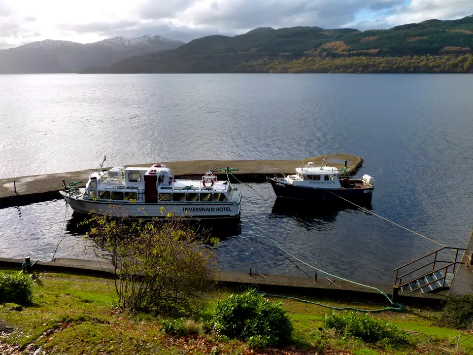
- Inversnaid falls and pier. 11.4 km, about halfway. Footbridge over the falls, the hotel and bunkhouse, and the waterbus to Tarbet in season.
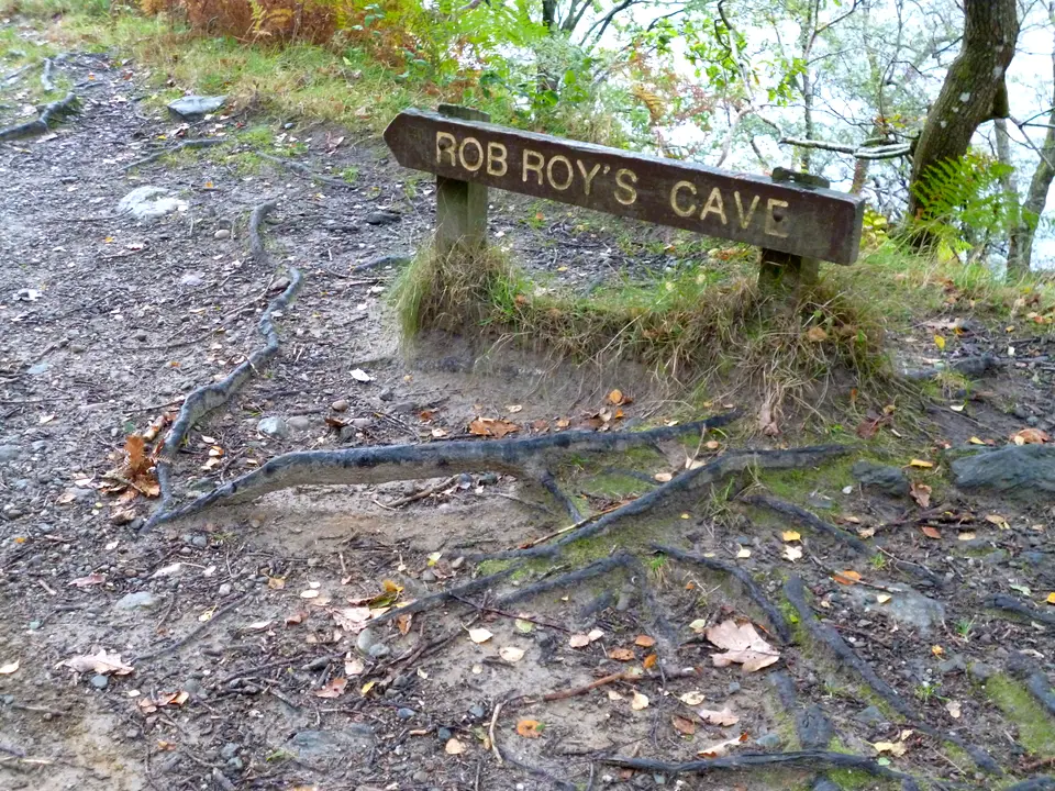
- Rob Roy's Cave. 12.9 km. Marked on the map about 1.4 km north of the falls, on the roughest part of the path.
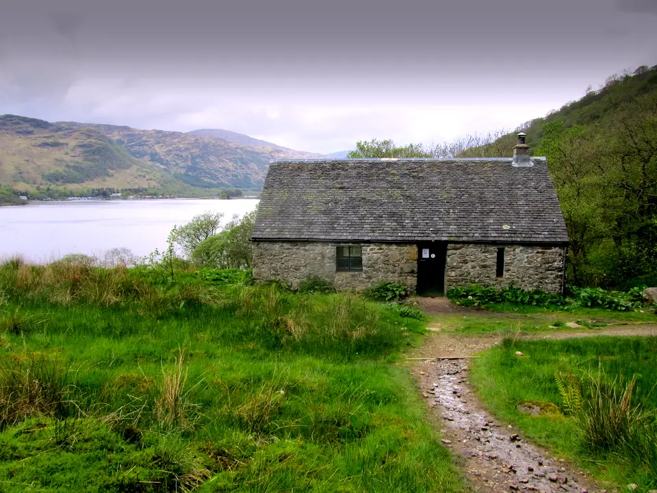
- Doune Byre. 17.5 km. A small stone hut beside the shore path.
- Ardleish. 18.6 km. Raise the ball at the pier to call the small ferry across to Ardlui.
- Ardlui. Across the water: hotel, marina and a railway station on the West Highland line.
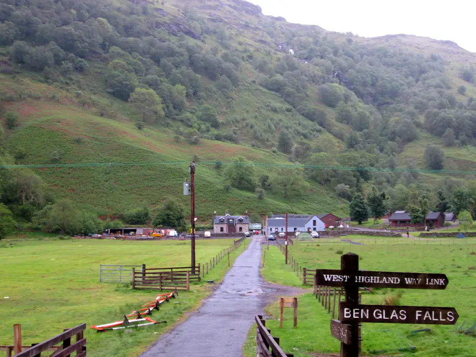
- Beinglas and the Drovers Inn. 22.1 km, the end of the mapped route. The Drovers Inn is about 0.4 km from Beinglas campsite in a straight line.
- Official distance
- 22.5 km
- Walking time, inn's guide
- 6–7 h
- Inversnaid, halfway
- 11.4 km
- Grade, our scale
- Hard
Today: 5°C and cloudy, sunset 16:04. Beds at Inversnaid, Beinglas and the Drovers Inn fill in summer. Book ahead.
Rowardennan to Inverarnan in photos











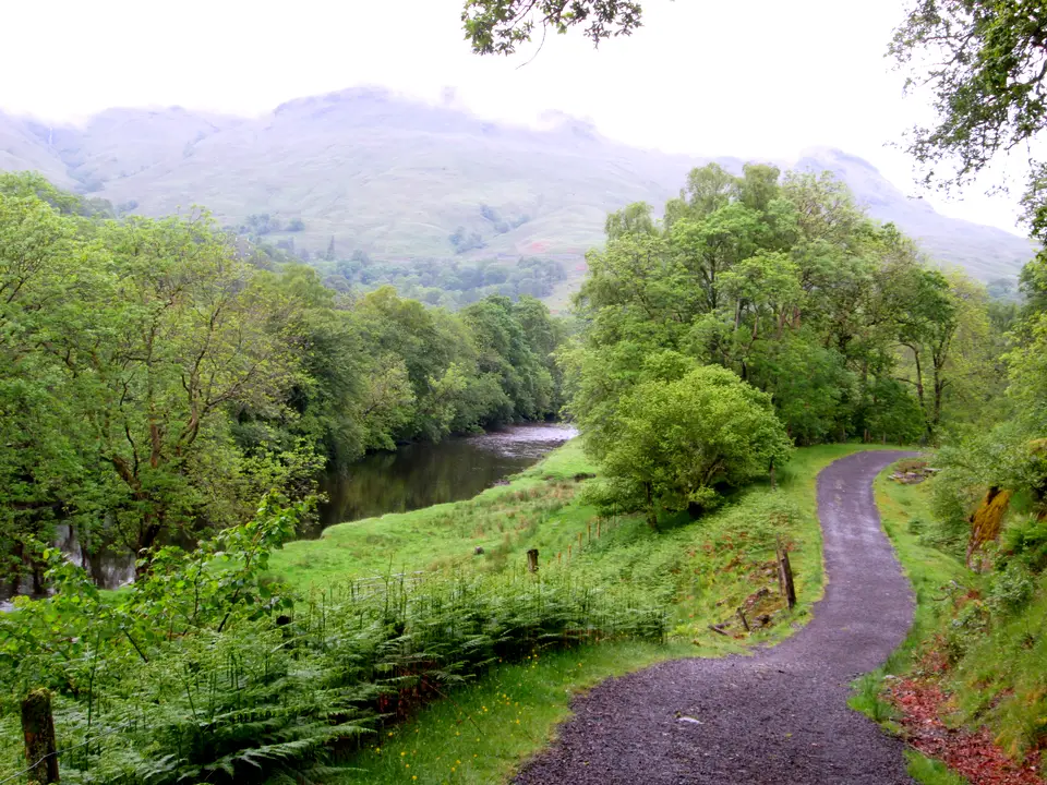

Is it for me?
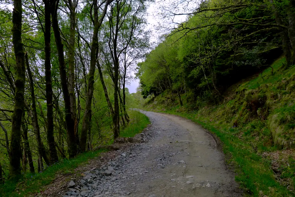
Rowardennan to Inverarnan is stage 3 of the West Highland Way: 22.5 km (14 miles) up the east shore of Loch Lomond, on a forestry track at first and then a rough, rocky path. The Drovers Inn's own guide gives 6 to 7 hours of walking, and the day ends at the inn. This page splits the stage into its parts, compares the low path with the high track, lists the ways out by boat, ferry, train and bus, and covers where to sleep and eat at each end. Check month-by-month weather before you pick a date.
- Beginners
- Yes, if you can walk 22.5 km on rough ground. The Way is signed, but the official page calls the ground beyond Inversnaid challenging underfoot. Splitting the day at Inversnaid halves it, and there are ways out at three points.
- Children
- Only for children used to a full day on uneven ground. Plan the split at Inversnaid and allow for slow going in the wet.
- Dogs
- Dogs are allowed. At Inversnaid the Way crosses the RSPB reserve, where dogs must be on short leads from 1 April to 15 August. The waterbus carries dogs free, on a lead where livestock graze. The Drovers Inn, Inversnaid Bunkhouse and Beinglas campsite all say they take dogs, on their own terms.
- Buggies
- Not suited to buggies or wheelchairs: the path has rocks, crags, boulders and steps.
- Terrain
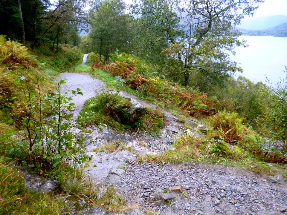
- A forestry track at first, then a rougher path with rocky sections, crags and boulders. Some burn crossings can be impassable during and just after heavy rain.
- Navigation
- The Way is signed and mapped on the official website. Carry a paper or phone map as well, and do not rely on one battery.
Map and height profile
- Rowardennan. The start, 0 km. The only toilets on the stage are here. Hotel, youth hostel, campsite and car park.
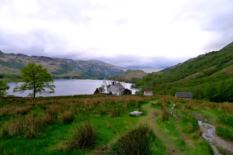
- Rowchoish Bothy. About 6.6 km. The low path section from Ptarmigan Lodge to here reopened in July 2026 after path work.
- Inversnaid falls and pier. 11.4 km, about halfway. Footbridge over the falls, the hotel and bunkhouse, and the waterbus to Tarbet in season.
- Inversnaid falls and pier. 11.4 km, about halfway. Footbridge over the falls, the hotel and bunkhouse, and the waterbus to Tarbet in season.
- Rob Roy's Cave. 12.9 km. Marked on the map about 1.4 km north of the falls, on the roughest part of the path.
- Doune Byre. 17.5 km. A small stone hut beside the shore path.
- Ardleish. 18.6 km. Raise the ball at the pier to call the small ferry across to Ardlui.
- Ardlui. Across the water: hotel, marina and a railway station on the West Highland line.
- Beinglas and the Drovers Inn. 22.1 km, the end of the mapped route. The Drovers Inn is about 0.4 km from Beinglas campsite in a straight line.
Map © OpenStreetMap contributors. Open in maps
| Step | Distance along route (km) | Height (m, approx.) |
|---|---|---|
| 1. Rowardennan | 0 | 20 |
| 2. Ptarmigan Lodge | 2.4 | 33 |
| 3. Rowchoish Bothy | 6.6 | 83 |
| 4. Inversnaid falls | 11.4 | 22 |
| 5. Rob Roy's Cave | 12.9 | 28 |
| 6. Doune Byre | 17.5 | 32 |
| 7. Ardleish | 18.6 | 28 |
| 8. Beinglas | 22.1 | 22 |
| 9. Drovers Inn | 22.1 | 22 |
The stage in parts, from Rowardennan to the Drovers Inn
-
Rowardennan
The stage starts on the forestry track north of the village. The only toilets on the stage are at Rowardennan, so stop here first. The Rowardennan village guide covers the hotel, hostel and Ben Lomond path.
-
Ptarmigan Lodge
The official Way takes the low path along the shore from Ptarmigan Lodge towards Rowchoish Bothy. Path work on that section was finished in July 2026, with new steps, boardwalks and resurfacing. The easier high track is the alternative: see the next section.
-
Rowchoish Bothy
The low path section named in the official notice ends at Rowchoish Bothy. The high track and the low path rejoin after a stretch of forest, before Inversnaid.
-
Inversnaid falls
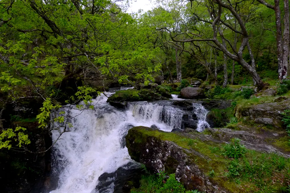
The Way crosses a footbridge over the waterfall at Inversnaid. Refreshments are listed here on the official page, and the hotel, bunkhouse and pier are close. In season the waterbus runs to Tarbet. The Inversnaid village guide has the detail.
-
Rob Roy's Cave
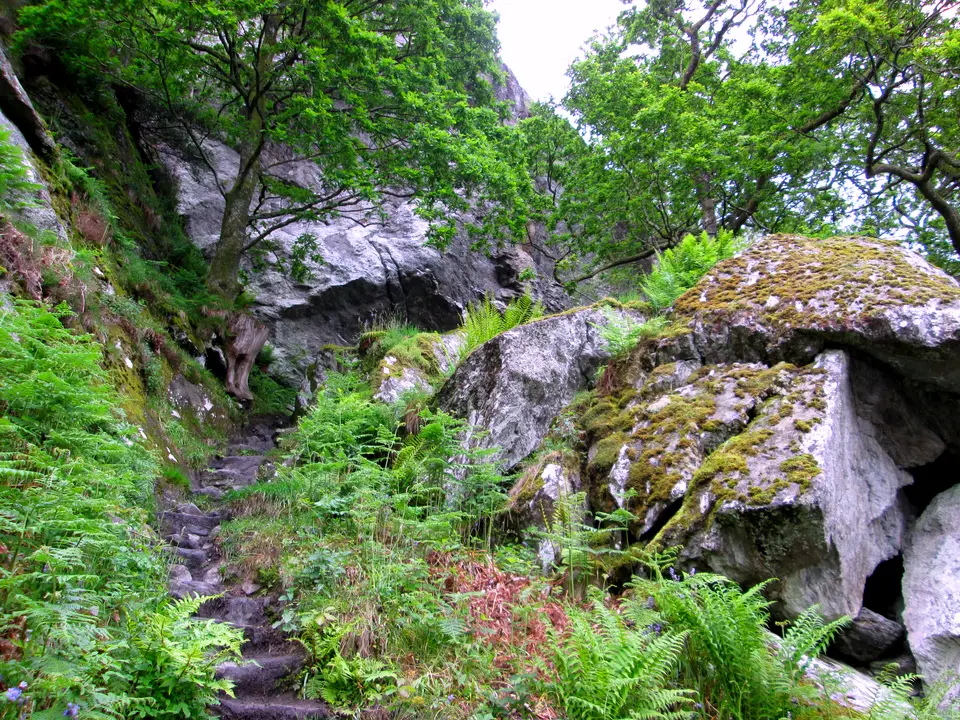
North of Inversnaid the path is rocky, with crags and boulders, and the official page asks walkers to take care to avoid twisted ankles. Rob Roy's Cave is marked about 1.4 km north of the falls, and the official page lists it as a place of interest. See Loch Lomond says boats pass it and it is best seen from the water.
-
Doune Byre
A small stone hut beside the path, shown as Doune Byre on the map. Do not count on it as shelter without checking who looks after it. The loch narrows towards its head from here.
-
Ardleish
For Ardlui, raise the ball at the pier just south of Ardleish to call the small ferry across. The Ardlui Hotel published hourly sailings from April to October, £6 an adult each way, on a page labelled 2024, so confirm times with the hotel. Ardlui village guide covers the station and hotel.
-
Beinglas
Beinglas campsite has a shop, a restaurant (the Stagger Inn), showers and a campers' kitchen. It says it is extremely busy and keeps no pitches for walk-ins, so book ahead.
-
Drovers Inn
The inn is where many walkers finish: the official page says so. The section below has its history, rooms, food and the bus stop outside.
Low path or high track north of Rowardennan
North of Rowardennan there are two ways to Inversnaid. The official Way is the low path along the shore, which See Loch Lomond calls the more difficult option and the one its author recommends. The high track runs inland through the forest, is easier, and many walkers take it, partly because of guidebook warnings about the shore route. The two rejoin after a stretch of forest.
The low path has had work. An official notice of 9 July 2026 says path work between Ptarmigan Lodge and Rowchoish Bothy is complete, with new pitching, replacement steps, resurfacing and boardwalks, and the section is open. On 3 November 2026 another notice said Storm Boelo had left trees down in various places and that rangers were still assessing the damage. An earlier notice, dated 17 March 2026, said Ardleish Bridge, north of Inversnaid, had been taken out of service, with a short bypass over informal stepping stones until it is replaced. The notices we read on 18 November 2026 showed no later update on the bridge, so we cannot say whether it has been replaced. Read the Notices section of the official West Highland Way website before you go.
Our view: take the low path in dry weather if you want the shoreline and have the time, and the high track if the shore looks wet, the wind is up or daylight is short. We have not measured the high track, so we give no distance for it.
How long Rowardennan to Inverarnan takes
Allow most of a day. The Drovers Inn's own stage guide gives 22 km and 6 to 7 hours of walking, and the official page gives 22.5 km (14 miles) but no time. One walker's account on See Loch Lomond put the first half, Rowardennan to Inversnaid, at just over 3.5 hours. Stops for food, the falls and a decision about the ferry add to that.
The distance is not what slows you. The forestry track at the start becomes a rougher path with rocks, crags and boulders, and beyond Inversnaid the official page calls the ground challenging underfoot, so pace drops on exactly the part of the day when legs are tired.
If you only want Inversnaid to Inverarnan, it is about 10.7 km from the falls to the end of the mapped route at Beinglas, and it holds the roughest ground. You can start at Inversnaid by waterbus from Tarbet in season, or by road on the B829.
Allowing for this stage inside a whole walk? How many days to allow on the Way compares plans from 4 to 10 days. Beds at both ends fill early: the West Highland Way accommodation guide lists them stop by stop, with the baggage operators.
| Part | Distance | What to expect |
|---|---|---|
| Rowardennan to Inversnaid | 11.4 km | Forestry track, then the low path or the high track. Refreshments at both ends. |
| Inversnaid to Doune Byre | 6.0 km | The roughest ground, with crags and boulders. Rob Roy's Cave is on this part. |
| Doune Byre to Ardleish | 1.2 km | Short. The Ardlui ferry is called from the pier just south of Ardleish. |
| Ardleish to Beinglas | 3.5 km | The loch narrows towards its head. Beinglas has a campsite, a shop and the Stagger Inn. |
| Beinglas to the Drovers Inn | About 0.4 km | A short walk, measured in a straight line from the campsite to the inn. |
Ways out: waterbus, ferry, train and bus
Between Rowardennan and Inverarnan the shore has few ways out, so decide before the rough ground. Boats leave from three points, a road reaches Inversnaid, and the Drovers Inn has a bus stop. Seasons and times change: the details below come from each operator's own pages, read on 18 November 2026, when most boat services had finished for the year. Check the 2027 timetable.
The Ardleish ferry is the nearest way out to the end of the stage, about 3.5 km before Beinglas, and it lands at Ardlui, which has a station on the West Highland line. For the wider picture, see boat trips and cruises.
The whole-route map lists every station and bus stop on the Way, with distances from Milngavie.
| Where | Way out | Season and details |
|---|---|---|
| Rowardennan | Boat to Tarbet | Cruise Loch Lomond, about 30 minutes. Rowardennan to Tarbet on Fridays and Saturdays only, from the youth hostel jetty, roughly May to late September. Tarbet has a railway station. |
| Inversnaid | Boat to Tarbet | Cruise Loch Lomond, about 30 minutes. The 2026 season was bookable from 27 March to 1 November. Book ahead: sailings can fill. Dogs travel free, bikes £5. The operator showed no Inversnaid to Tarbet times on the pages we read, so confirm them. |
| Inversnaid | Road | The B829 from Aberfoyle reaches Inversnaid. The RSPB describes 12 miles of single-track road. |
| Ardleish | Ferry to Ardlui | Ardlui Hotel: April to October, from Ardleish at ten past the hour. £6 an adult and £4 a child under 12, each way. Raise the ball at the pier. The times we saw were labelled 2024. |
| Ardlui | Train and coach | ScotRail West Highland line, plus Citylink 975 and Ember E5. A sample weekday listed five daytime trains from Glasgow Queen Street, about 1 hour 33 minutes. |
| Inverarnan | Citylink bus | The Drovers Inn says a Citylink bus on its Glasgow to Isle of Skye route stops outside. Check Citylink for times. |
Where to sleep and eat at each end
At Rowardennan, the hotel has 24 bedrooms and four lodges and serves food all day in its bar. The youth hostel on the shore has private rooms and dorms, with evening meals from 6pm to 7:30pm, and the campsite is beside the Way. See where to stay in Rowardennan, eating in Rowardennan and camping at Rowardennan.
At Inversnaid, a former hunting lodge now runs as a hotel, and the bunkhouse, a converted church 800 m from the Way, has a licensed restaurant and camping, with a free pick-up from the pier most days. See places to stay in Inversnaid and camping near Inversnaid.
At the north end, Beinglas campsite has huts, bell tents and chalet rooms, and the Drovers Inn has rooms and a bar and restaurant. Across the water, where to stay in Ardlui covers the hotel and holiday park.
Camping and fire byelaws apply from 1 March to 30 September: you may camp only at campsites and designated permit areas. See camping permits for the loch.
The Drovers Inn at Inverarnan
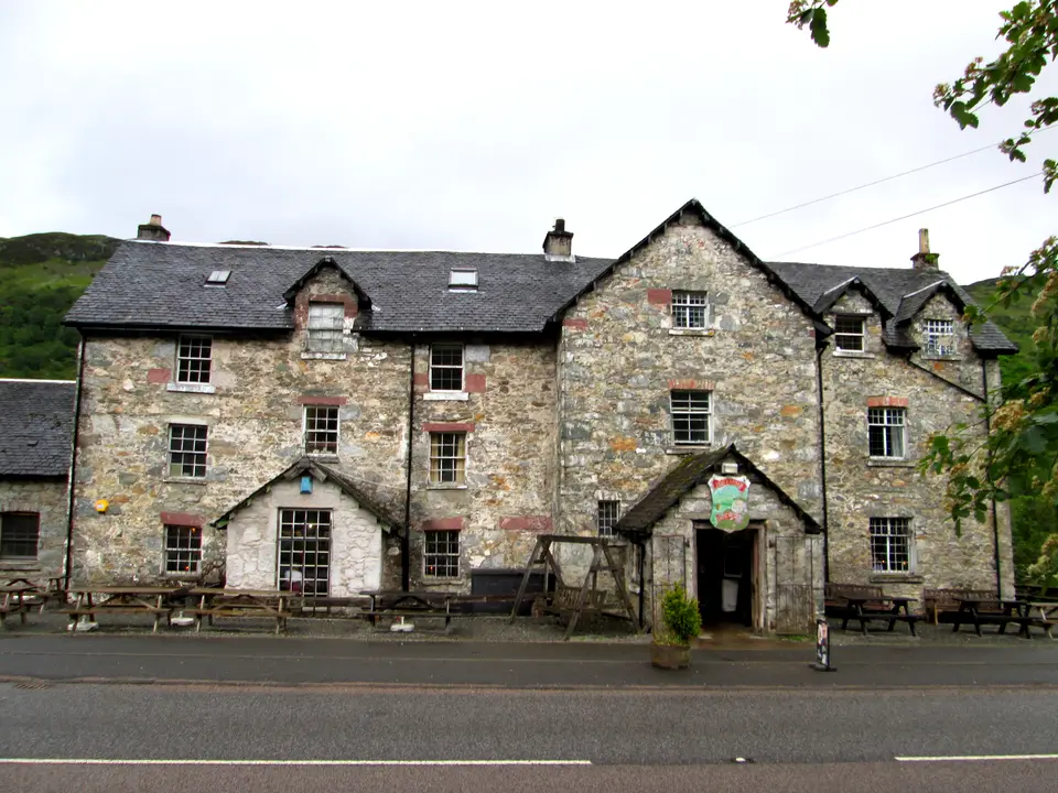
The Drovers Inn is the pub and hotel at the end of this stage, on the A82 at North Loch Lomond, Inverarnan, G83 7DX. The official page says many walkers finish there. Historic Environment Scotland lists it as a Category B building (listed on 5 October 1971): an 18th-century inn shown as an inn on a map of 1776. The inn says it has 15 rooms plus lodge rooms across the road, serves bar food daily and has a Citylink bus stopping outside, and that it fills in summer, so book ahead.
The full guide, Inverarnan and the Drovers Inn, covers the building and its history, the rooms, the food, Beinglas campsite, the falls and how to arrive without a car. The next stage, Inverarnan to Tyndrum, is 19 km and 5 to 6 hours by the inn's own guide.

Parking & getting there
Rowardennan car park (Forestry and Land Scotland)
- Where
- Rowardennan, the start of the stage. Grid ref NS359986, postcode G63 0AR.
- Operator
- Forestry and Land Scotland, pay and display
- Price
- £2 up to 1 hour; £5 all day; £14 for a minibus or coach all day; Blue Badge holders free. Check the machine.
- Payment
- Coins, card or RingGo
- Toilets
- Public and accessible toilets, open Easter to October. The only toilets on the stage.
- Overnight
- Not stated on the Forestry and Land Scotland page: ask before leaving a car overnight. A one-way walk needs a lift or public transport back.
- Busy times
- The car park fills early on weekends and warm days. Full details are in the Rowardennan car park guide.
- Inverarnan end
- The Drovers Inn lists free on-site parking. We have not researched parking at Beinglas.
Last checked 18 Nov 2026
Car-free
Rowardennan has no bus, and the waterbus from Tarbet runs on Saturdays and Sundays only in season. Tarbet has a railway station. At the north end, Ardlui station (ferry from Ardleish) and the Citylink stop outside the Drovers Inn are the car-free ways home. Check Traveline Scotland on the day.
When it is busy
Editorial estimate of a typical summer day on the stage, at Inversnaid and on the path. These are not measured counts.
| Day | 8:00 | 9:00 | 10:00 | 11:00 | 12:00 | 13:00 | 14:00 | 15:00 | 16:00 |
|---|---|---|---|---|---|---|---|---|---|
| Weekday | Quiet | Quiet | Steady | Steady | Steady | Steady | Steady | Steady | Quiet |
| Saturday | Quiet | Steady | Busy | Busy | Busy | Busy | Busy | Busy | Steady |
| Sunday | Quiet | Steady | Busy | Busy | Busy | Busy | Busy | Steady | Quiet |
Q QuietS SteadyB BusyF Car park full
Tip: walk on a weekday in the warmer months and book the bed first: the beds at both ends are the real pinch point.
Call it off if
- The burns are running high after heavy rain: the official page says some crossings can be impassable, so wait for the flood water to drop.
- Storm damage is reported on the Way: on 3 November 2026 the official notice said Storm Boelo had left trees down in various places. Read the Notices page on the day.
- You have no bed for the night: Beinglas and the Drovers Inn fill in summer and the Beinglas campsite keeps no pitches for walk-ins.
- Daylight is short and the rough ground beyond Inversnaid is still ahead: take the waterbus or the Ardlui ferry out while one is running.
- The low path looks wet or icy: use the easier high track instead of pushing on.
Three ways to do the day
Straight through
Rowardennan to the Drovers Inn
- Early Breakfast at Rowardennan (the hotel serves from 7am April to October), toilets, then set off.
- Halfway Inversnaid at 11.4 km: refreshments and the footbridge over the falls.
- Afternoon The rough ground to Ardleish, with the ferry to Ardlui as a way out.
- Evening Beinglas or the Drovers Inn, with a bed booked.
Split at Inversnaid
Two shorter days
- Day one 11.4 km to Inversnaid, with a bed at the hotel or bunkhouse.
- Day two About 10.7 km of the roughest ground to Beinglas and the Drovers Inn, starting fresh.
By boat to Inversnaid
In season
- Morning Train to Arrochar and Tarbet, then the waterbus across to Inversnaid. See getting to Loch Lomond.
- Walk Inversnaid to Inverarnan, about 10.7 km, with the ferry at Ardleish as a way out.
- Home Citylink from outside the Drovers Inn, or the train from Ardlui. Check times.
Where to stay at either end
Partner links: we may earn a commission
Prices and free rooms change daily, so check them for your dates.
Check hotels in Inverarnan on Booking.com Compare bases around the lochQuestions people ask
How long does it take to walk from Rowardennan to Inverarnan?
The Drovers Inn's own guide gives 6 to 7 hours of walking for the 22 km. The official page gives 22.5 km (14 miles) and no time. Allow most of a day with stops, because the ground beyond Inversnaid is rough.
What is the hardest section of the West Highland Way?
The official site does not rank the stages. This one is a strong candidate for the hardest day on the Loch Lomond side: the official page calls the ground beyond Inversnaid challenging underfoot, and the day is 22.5 km. Splitting it at Inversnaid makes it much easier.
What to do in Rowardennan?
Start the Ben Lomond path, walk the loch shore, eat at the hotel or youth hostel, or take the summer waterbus to Tarbet. The stage north starts on the forestry track beside it.
Can you drive to Rowardennan?
Yes. The road ends at Rowardennan and the Forestry and Land Scotland car park charges £2 for up to 1 hour or £5 all day. Coaches are not allowed beyond Balmaha, so only minibuses use the road. There is no bus.
Who owns the Drovers Inn Loch Lomond?
The sources we read do not say. The inn's own website and the Historic Environment Scotland listing do not name an owner, so we do not either. Contact the inn for details.
Can you stay at the Drovers Inn?
Yes. It has 15 rooms in the inn, rooms in a lodge across the road and a double at the Stagger Inn. Check-in is from 3pm. The inn says it fills in summer, so book ahead.
Is Rowardennan to Inverarnan hard for a first-timer?
It is a long day on rough ground, but a first-timer can do it with a split at Inversnaid or an early start. There are ways out at Rowardennan, Inversnaid and Ardleish in season.
Is there a low road or a high road from Rowardennan?
There is a low path along the shore, which is the official Way, and an easier high track through the forest. They rejoin before Inversnaid. See Loch Lomond calls the low path the more difficult.
How far is Inversnaid to Inverarnan?
About 10.7 km from Inversnaid falls to the end of the mapped route at Beinglas, measured from map data. It holds the roughest ground of the stage.
Can I take a boat to skip part of the West Highland Way here?
Yes, in season. The Cruise Loch Lomond waterbus links Inversnaid and Rowardennan with Tarbet, and the small ferry crosses from Ardleish to Ardlui. Check the 2027 timetables, as most services had finished for 2026.
How do I call the Ardlui ferry?
Raise the ball at the pier just south of Ardleish. The Ardlui Hotel says the ferry then comes at the next scheduled sailing, from April to October.
Is there a bus or train near Inverarnan?
The Drovers Inn says a Citylink bus stops outside. Ardlui station on the West Highland line is reached by the Ardleish ferry in season, and Citylink 975 and Ember E5 also stop at Ardlui.
Are dogs allowed on this stage?
Yes. Keep dogs on short leads in the Inversnaid RSPB reserve from 1 April to 15 August, and on a lead where livestock graze. The waterbus carries dogs free.
Where can I camp between Rowardennan and Inverarnan?
At campsites such as Cashel at Rowardennan, Inversnaid Bunkhouse and Beinglas. From 1 March to 30 September camping is allowed only at campsites and designated permit areas.
Nearby
-
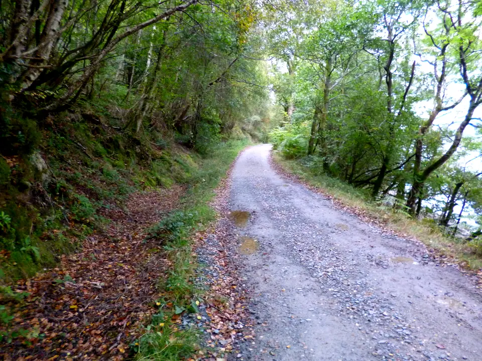
Photo: Dave Kelly, CC BY-SA 2.0, ca* -
Photo: Neil Williamson, CC BY-SA 2.0, ca* -
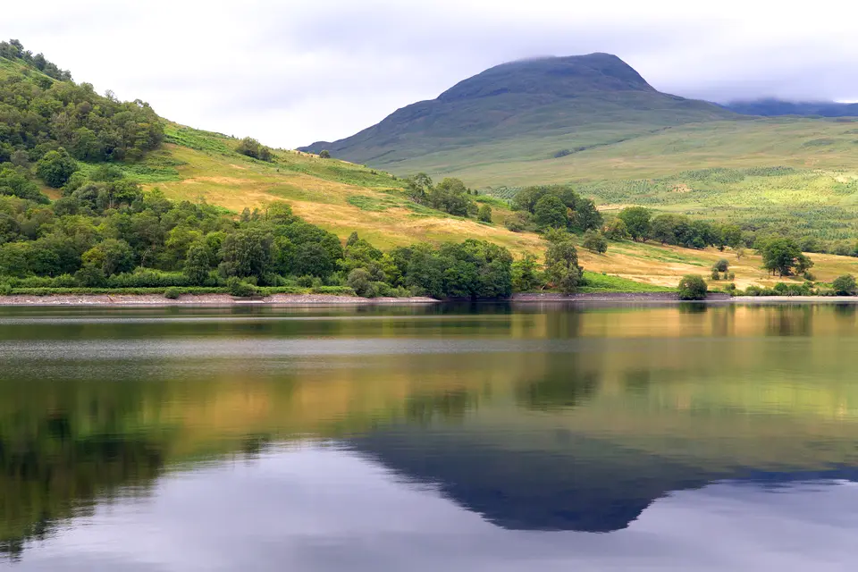
Photo: Tom Parnell, CC BY-SA 2.0, ca* -
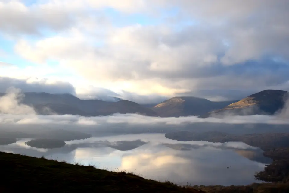
Photo: Clem_nat, CC BY-SA 4.0, ca*

