
How long the West Highland Way takes
Day plans from 4 to 10 days, short sections and the best months, Milngavie to Fort William
How long is the West Highland Way? It is about 154 km (96 miles) and most walkers take 7 to 8 days: the National Park says 7 to 8, the official site says 6 to 7 on average. The day plans below run from 4 to 10 days, with kilometres we measured, the nights that are hard to book and the months that suit you.
- Official length, 96 miles
- 154 km
- Typical time, National Park
- 7–8 days
- Longest stage, our measure
- 24.7 km
- Most popular month, official
- May
How long does the West Highland Way take?
Plan on 7 to 8 days. The National Park says the Way typically takes 7 to 8 days. The official West Highland Way site says six to seven on average and publishes 5, 6 and 7-day plans, and no official plan is shorter than five days. Eight days is one official section a day, with stages from 14.3 km to 24.7 km by our measure.
Every day plan on this page is built from our own measurements of the route, with real overnight stops. The stage ends come from OpenStreetMap route data and the heights from a terrain model, so each plan adds up to 153.3 km (rounding can show 153.4). The official itineraries give miles only, and the official kilometre figures add to 152.3. The route map and stage table show every stop.
The nights that are hardest to fill are at the stops with few beds: Inversnaid, Inveroran, Bridge of Orchy, Kingshouse, Rowardennan and the small hostels at Kinlochleven. The official site says to book at any time of year and that avoiding a Saturday start can make beds easier to find. Each plan below names the stops to book first, and the accommodation guide has the detail for every stop.
Day plans for 4, 5, 6, 7, 8 and 10 days
Kilometres are along the Way between overnight stops, from our measurements. Add the detour if the bed is off the route: Drymen village 0.8 km, Crianlarich 0.9 km each way, Ardlui 0.9 km plus the ferry, the Drovers Inn 0.3 km. A hard day here means 30 km or more, or a day that crosses Rannoch Moor and the Devil’s Staircase.
| Plan | Day by day (km) | Longest day | Book first | Hard days |
|---|---|---|---|---|
| 4 days | 1. Milngavie to Rowardennan 42.9.2. Rowardennan to Tyndrum 41.5.3. Tyndrum to Kingshouse 29.9.4. Kingshouse to Fort William 39.0. | 42.9 km | Rowardennan, Kingshouse | All four. Day 2 includes the rough path beyond Inversnaid and day 4 the Devil’s Staircase and the Lairigmor. No official plan is this short. |
| 5 days | 1. Milngavie to Balmaha 30.5.2. Balmaha to Inverarnan 34.5.3. Inverarnan to Bridge of Orchy 30.0.4. Bridge of Orchy to Kinlochleven 33.7.5. Kinlochleven to Fort William 24.7. | 34.5 km | Bridge of Orchy, Kinlochleven | Day 2, with the rough shore path, and day 4, over Rannoch Moor and the Devil’s Staircase. Same stops as the official 5-day plan. |
| 6 days | 1. Milngavie to Balmaha 30.5.2. Balmaha to Inversnaid 23.8.3. Inversnaid to Crianlarich 20.2.4. Crianlarich to Inveroran 24.2.5. Inveroran to Kinlochleven 29.9.6. Kinlochleven to Fort William 24.7. | 30.5 km | Inversnaid, Inveroran, Kinlochleven | Day 1 and day 5, which crosses Rannoch Moor and the Devil’s Staircase. Crianlarich adds 1.8 km in total for the spur. Same stops as the official 6-day plan. |
| 7 days, option A | 1. Milngavie to Drymen 19.3.2. Drymen to Rowardennan 23.7.3. Rowardennan to Inverarnan 22.1.4. Inverarnan to Tyndrum 19.4.5. Tyndrum to Inveroran 14.3.6. Inveroran to Kinlochleven 29.9.7. Kinlochleven to Fort William 24.7. | 29.9 km | Rowardennan, Inveroran, Kinlochleven | Day 6. The official 7-day plan with the long day after Inveroran. |
| 7 days, option B | 1. Milngavie to Drymen 19.3.2. Drymen to Rowardennan 23.7.3. Rowardennan to Inverarnan 22.1.4. Inverarnan to Tyndrum 19.4.5. Tyndrum to Kingshouse 29.9.6. Kingshouse to Kinlochleven 14.3.7. Kinlochleven to Fort William 24.7. | 29.9 km | Rowardennan, Kingshouse, Kinlochleven | Day 5, across Rannoch Moor. The official alternative, which leaves a short day for the Devil’s Staircase. |
| 8 days | 1. Milngavie to Drymen 19.3.2. Drymen to Rowardennan 23.7.3. Rowardennan to Inverarnan 22.1.4. Inverarnan to Tyndrum 19.4.5. Tyndrum to Inveroran 14.3.6. Inveroran to Kingshouse 15.6.7. Kingshouse to Kinlochleven 14.3.8. Kinlochleven to Fort William 24.7. | 24.7 km | Rowardennan, Inveroran, Kingshouse, Kinlochleven | None over 30 km. Day 8 is the longest and ends with the last train from Fort William at 17:37. |
| 10 days | 1. Milngavie to Drymen 19.3.2. Drymen to Balmaha 11.2.3. Balmaha to Rowardennan 12.4.4. Rowardennan to Inversnaid 11.4.5. Inversnaid to Inverarnan 10.7.6. Inverarnan to Tyndrum 19.4.7. Tyndrum to Inveroran 14.3.8. Inveroran to Kingshouse 15.6.9. Kingshouse to Kinlochleven 14.3.10. Kinlochleven to Fort William 24.7. | 24.7 km | Balmaha, Inversnaid, Inveroran, Kingshouse | Only day 10, the last. Days 4 and 5 are short because the rough shore path beyond Inversnaid is slow. |
Which to choose? Most people land on seven or eight days: the National Park puts the usual time at 7 to 8 days, and the official site says 6 to 7. Six days is a real option for regular walkers who can do 30 km on the first day and again over Rannoch Moor. Five or four days means 30 to 43 km days on rough ground, and the Rowardennan to Inverarnan section is described officially as challenging underfoot beyond Inversnaid.
A 10-day plan keeps every day but the last under 20 km and leaves time for the Rowardennan to Inverarnan stage to take as long as it needs. Whichever you pick, a spare day at the end for weather on Rannoch Moor costs less than missing the train home.
When to go: daylight, weather, midges and busy weekends by month
Daylight is our calculation for Tyndrum on the 15th of each month, in 2027 clock times (BST from the last Sunday of March to the last Sunday of October), and it ignores hills, so glens lose light earlier. Weather is the Met Office 1991 to 2020 averages from the nearest stations, because none sits on the Way: Tulloch Bridge, about 20 km east of Fort William, and Arrochymore, near Balmaha. Midges and other notes are from the official West Highland Way site.
| Month | Daylight at Tyndrum | Tulloch Bridge: high / low, rain, rain days | Arrochymore: sunshine and rain | Midges, camping and busy dates |
|---|---|---|---|---|
| January | 08:43–16:13, 7 h 30 | 5.7 / -0.1 °C, 250 mm, 19.6 days | 32 h, 212 mm | Official advice for November to March: fit walkers with winter navigation only. Camping byelaws not in force. |
| February | 07:47–17:19, 9 h 33 | 6.0 / -0.2 °C, 187 mm, 17.7 days | 59 h, 158 mm | Winter advice applies. Many hostels and campsites are shut. |
| March | 06:36–18:20, 11 h 44 | 7.6 / 0.9 °C, 154 mm, 18.0 days | 92 h, 150 mm | Winter advice to the end of the month. Camping byelaws and permit zones start on 1 March. |
| April | 06:14–20:25, 14 h 11 | 10.6 / 2.4 °C, 103 mm, 15.2 days | 143 h, 91 mm | Dogs are kept out of the enclosed fields before Conic Hill from 1 April to 31 May. |
| May | 05:05–21:26, 16 h 21 | 14.0 / 4.6 °C, 95 mm, 14.5 days | 178 h, 85 mm | The most popular month: beds come under pressure. Midge season begins. Scottish Six Days Trial used stretches of the Way on 4 to 9 May in 2026; check the 2027 dates. |
| June | 04:29–22:10, 17 h 41 | 16.0 / 7.7 °C, 88 mm, 14.6 days | 152 h, 102 mm | Midges usually a problem from June to August. West Highland Way Race on 19 June 2027, Milngavie to Fort William: expect support crews and busy beds. |
| July | 04:50–21:59, 17 h 09 | 17.5 / 9.5 °C, 94 mm, 16.0 days | 141 h, 121 mm | Warmest month at every station. Midges at their usual worst. |
| August | 05:47–21:00, 15 h 13 | 17.0 / 9.3 °C, 108 mm, 16.4 days | 134 h, 131 mm | Midges, especially at dawn, dusk and on still damp evenings. |
| September | 06:49–19:40, 12 h 51 | 14.9 / 7.5 °C, 130 mm, 16.4 days | 102 h, 143 mm | Midge season runs to the end of the month. Highland Fling, 53 miles from Milngavie to Tyndrum, on 18 September 2027. Camping byelaws end on 30 September. |
| October | 07:50–18:20, 10 h 30 | 11.2 / 4.8 °C, 191 mm, 19.5 days | 77 h, 185 mm | No camping byelaws, but campsites and hostels begin to close for the winter. Check each one. |
| November | 07:56–16:10, 8 h 14 | 8.0 / 2.2 °C, 203 mm, 19.7 days | 43 h, 182 mm | Winter advice starts. Storm Boelo left trees down in places on 3 November 2026. |
| December | 08:46–15:41, 6 h 54 | 5.9 / -0.5 °C, 223 mm, 19.1 days | 27 h, 212 mm | Shortest days of the year; the Way is walkable on many winter weeks, but plan for darkness by 16:00. |
Our reading: April and May are the driest months at Loch Lomond (91 mm and 85 mm at Arrochymore) with the most sunshine, and June is driest at Tulloch Bridge (88 mm), with May and June having the fewest rain days. Midge season starts in May and usually bites hardest from June to August, so late April to May or September trade bed pressure and midges against each other. Cold ground: at Glen Ogle, 24 km east of Tyndrum, air frost still falls on 2.8 days in May. On Aonach Mor, the high ground above Fort William, it is 11.6 days: the high stretches of the Way are colder and windier than the glens. See the Loch Lomond weather month by month for the loch itself.
Fitness, pack and safety basics
No source we trust gives a fitness standard, so these are the facts from the official site and our measurements, not a training plan.
- The load: 153.3 km with about 2,900 m of climbing by our measure, longest stage 24.7 km. The only big hill is Conic Hill on day 2 or 3, and the highest point is the Devil’s Staircase at 550 m.
- Navigation: the Way is waymarked along its length, but the official FAQ says walkers should be able to use a map and compass. Solo walking is fine, and most people split the route into similar sections, so you often meet the same people each day. Maps, sheets and GPS tracks are covered on the map page.
- Exposure: Rannoch Moor is very exposed and has no shelter until the Glencoe Ski Centre. The moorland before Kinlochleven is exposed in poor weather.
- Midges and ticks: the official site recommends Smidge or Skin So Soft and a midge head net. For ticks, cover up, use a repellent such as DEET, check at the end of the day and remove with fine-tipped tweezers or a tick tool.
- Water: stream water should be treated, and filtering alone may not guarantee it is safe; Lomond Mountain Rescue advises boiling or chemical treatment, especially where livestock or run-off may be an issue, such as the approach to Conic Hill. The official directory lists seven top-up taps and none between Balmaha and Crianlarich.
- Fire: use a stove, never open fires, BBQs or fire bowls in dry periods or near forests, farmland or buildings. Scottish Fire and Rescue attended four grass fires between Auch and the Black Corries in 2026.
- Bags and cash: baggage transfer operators take 20 kg or less per bag and need reservations along the Way. Cash points are at Milngavie, Drymen, Crianlarich, Tyndrum, Kinlochleven and Fort William.
- Dogs and bikes: dogs are allowed under proper control, and the path can be hard on their paws. Cycling is possible, but the path between Rowardennan and Inverarnan is rocky and narrow and not suitable for bikes.
Food, shops and water, stage by stage
Refreshment and toilet stops are from the official stage pages. The gaps matter more than the lists: Rowardennan to Inverarnan has toilets only at Rowardennan, and neither Kingshouse to Kinlochleven nor Kinlochleven to Fort William has a stop between the two ends. For hours, prices and who sells what, use the accommodation guide.
| Stage | Refreshments and toilets (official) | Cash, shops and water |
|---|---|---|
| 1. Milngavie to Drymen | Refreshments: Milngavie, Mugdock Country Park, Dumgoyne, Drymen. Toilets: Milngavie, Mugdock, Drymen. | Cash points in Milngavie and at the Spar in Drymen. Top-up taps at Douglas Street in Milngavie and at Turnip the Beet in Killearn, at mile 8. The Beech Tree Inn at Dumgoyne is shut from 16 November 2026 to 2 January 2027. |
| 2. Drymen to Rowardennan | Refreshments: Drymen, Balmaha, Rowardennan. Toilets: Drymen, Balmaha, Milarrochy, Rowardennan. | Village shop in Balmaha and a Scottish Water top-up tap there. |
| 3. Rowardennan to Inverarnan | Refreshments: Rowardennan, Inversnaid, Ardlui, Inverarnan. Toilets: Rowardennan only. | No top-up tap on the section. Carry water and lunch from Rowardennan, where the hostel has a small shop. |
| 4. Inverarnan to Tyndrum | Refreshments: Inverarnan, Crianlarich, Tyndrum. Toilets: Crianlarich, Tyndrum. | Cash points at Crianlarich Stores and the Green Welly Stop in Tyndrum. Taps at Crianlarich Stores, the Real Food Cafe and Tyndrum Holiday Park. |
| 5. Tyndrum to Inveroran | Refreshments and toilets: Tyndrum, Bridge of Orchy, Inveroran. | Inveroran has a small shop; dinner at the hotel needs booking. |
| 6. Inveroran to Kingshouse | Glencoe Ski Centre and Kingshouse Hotel and Bunkhouse only. | No shelter until the ski centre. Kingshouse serves dinner from 17:00 to 21:00 and asks you to pre-book. |
| 7. Kingshouse to Kinlochleven | Kinlochleven only. | Carry lunch from Kingshouse: there is nothing between the two. |
| 8. Kinlochleven to Fort William | Fort William only. | Cash from the post office or Co-op cashback in Kinlochleven. Carry a full day of food and water. Tap at Gordon Square, Fort William. |
Gas canisters: the official FAQ points to outdoor stores in Glasgow, with more limited options in Milngavie, and names no stockist on the Way itself. Check availability and opening hours before you rely on any shop, especially outside the summer.
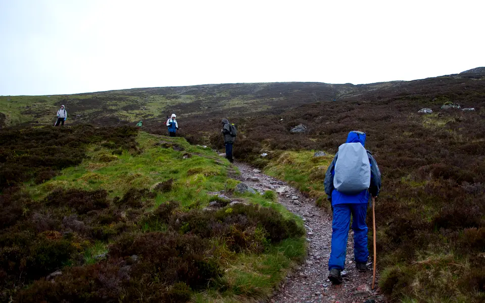
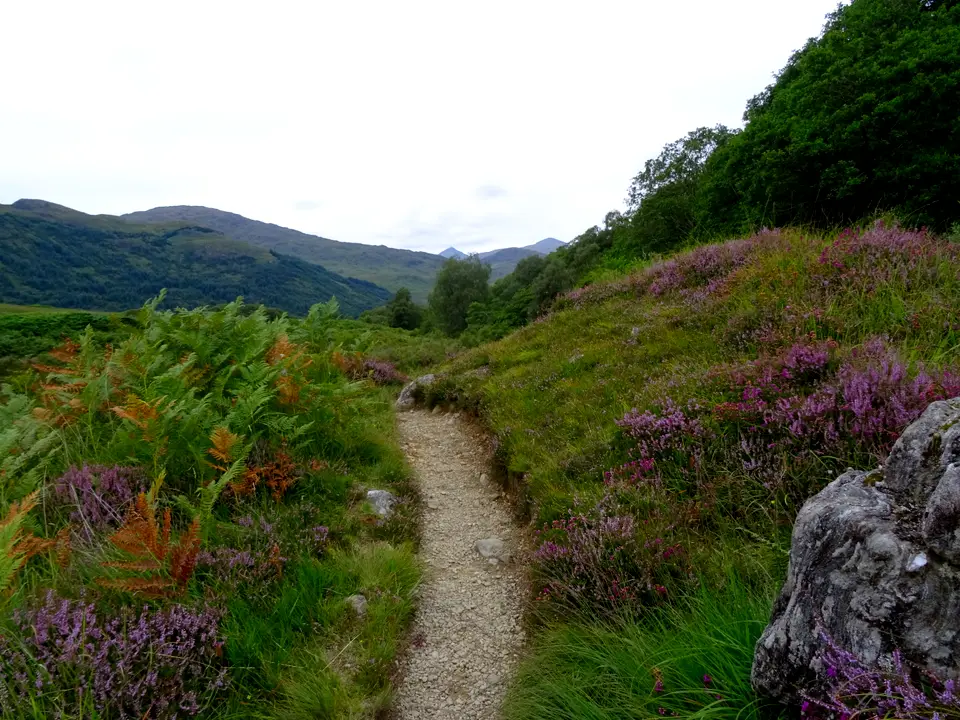
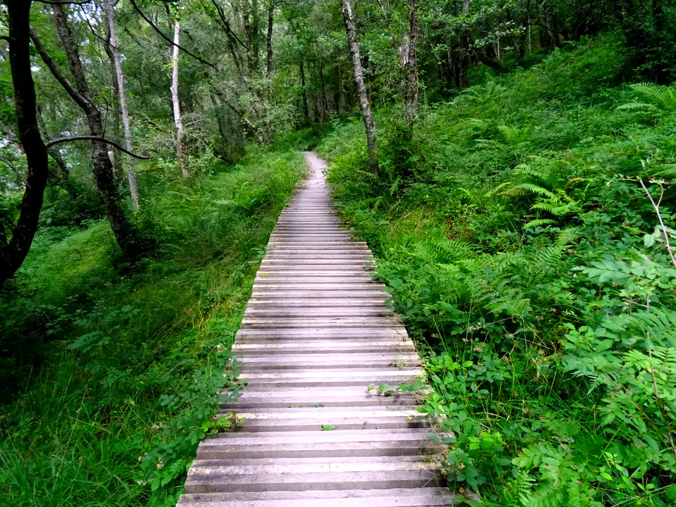
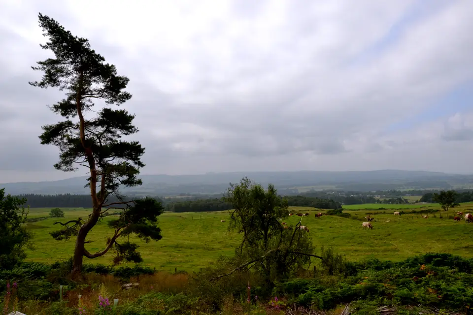
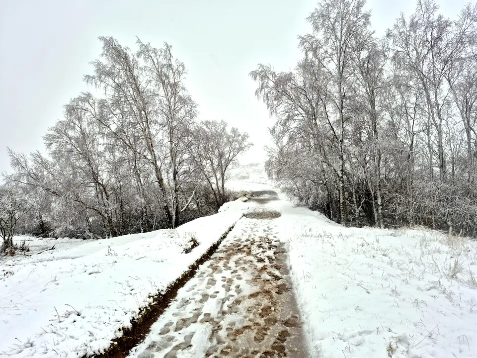
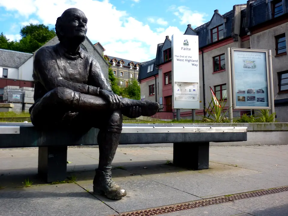
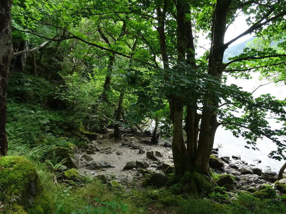
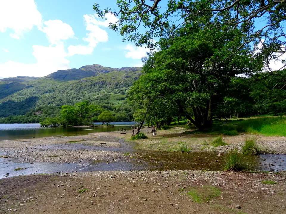
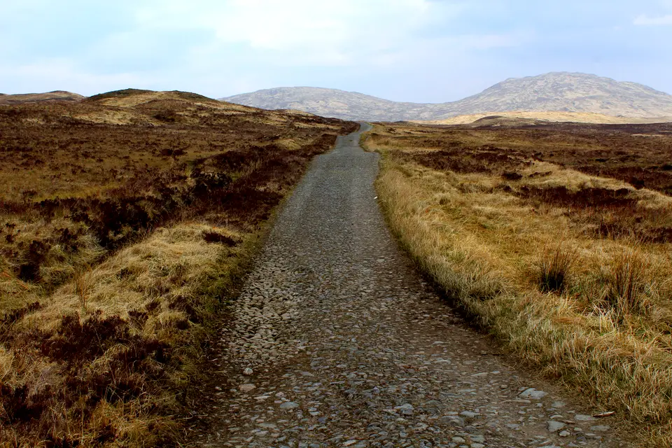
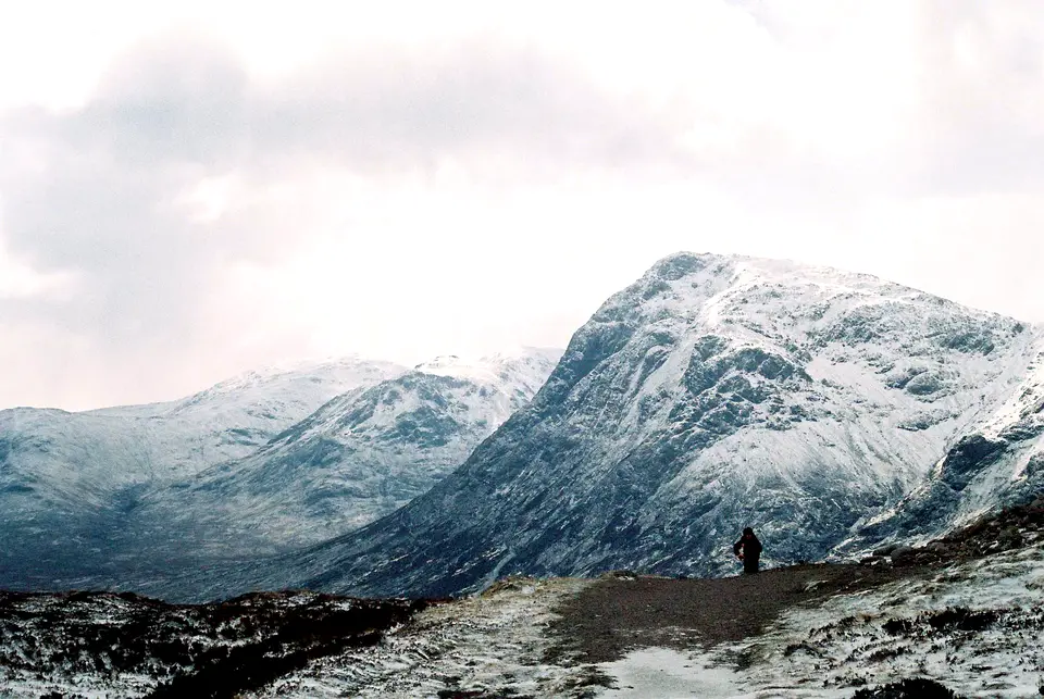
Walking the West Highland Way in photos










Short on time: sections for 2, 3 and 4 days
The official site lists five 2-day weekend sections and five short breaks. This table pairs each with our measured distance and the public transport at each end, from the ScotRail, Citylink and Shiel Buses timetables we read on 18 November 2026. Confirm every time in the journey planner. The map page lists all the stops.
| Section | Official | Our km | Start by public transport | Finish by public transport |
|---|---|---|---|---|
| Milngavie to Balmaha | 20 miles, 2 days, return by bus | 30.5 | ScotRail from Glasgow Queen Street Low Level. | Route 309 from Balmaha towards Drymen and Balloch. |
| Balmaha to Inverarnan | 21 miles, 2 days | 34.5 | Route 309 reaches Balmaha. | Citylink at Inverarnan, or the Ardleish ferry to Ardlui station from 1 April to 31 October. |
| Inverarnan to Bridge of Orchy | 19 miles, 2 days | 30.0 | Citylink at Inverarnan. | Station and Citylink at Bridge of Orchy. |
| Bridge of Orchy to Kinlochleven | 21 miles, 2 days | 33.7 | Station and Citylink at Bridge of Orchy. | Shiel Buses route 44 to Fort William. |
| Kinlochleven to Fort William | 15 miles, 2 days | 24.7 | Shiel Buses route 44. | ScotRail and Citylink from Fort William. |
| Milngavie to Rowardennan | 27 miles, 3 days | 42.9 | ScotRail to Milngavie. | We found no train, Citylink or other bus at Rowardennan: plan the way home first. |
| Rowardennan to Tyndrum | 26 miles, 3 days | 41.5 | We found no train or bus at Rowardennan; the Tarbet to Inversnaid waterbus, in season, is 11.4 km further on. | Upper Tyndrum and Tyndrum Lower stations, and Citylink. |
| Tyndrum to Kingshouse | 19 miles, 2 days | 29.9 | Stations and Citylink at Tyndrum. | Citylink at the Glencoe Ski Centre road end. |
| Kingshouse to Fort William | 24 miles, 2 days | 39.0 | Citylink at the Glencoe Ski Centre road end. | ScotRail and Citylink from Fort William; bus 44 from Kinlochleven. |
| Tyndrum to Fort William | 43 miles, 4 days | 68.9 | Stations and Citylink at Tyndrum. | ScotRail and Citylink from Fort William. |
Official sections are from the West Highland Way site (miles, days) and the transport columns from the timetables read on 18 November 2026: ScotRail West Highlands and Dunbartonshire (to 12 December 2026), Citylink October 2026, Shiel Buses route 44. The last train from Fort William to Glasgow leaves at 17:37.
Choosing your split in five steps
Start from the nights you can book
Pick your date, then try the few-bed stops first: Inversnaid, Inveroran, Bridge of Orchy, Kingshouse and Rowardennan. If a night will not book, move the whole plan a day rather than adding a bad night later. The official site says a Saturday start is the hardest to fill.
Keep the crossing of Rannoch Moor in daylight
Inveroran to Kingshouse is 15.6 km on an exposed moor with no shelter until the Glencoe Ski Centre. In the short months, daylight at Tyndrum is 8 h 14 on 15 November and 6 h 54 on 15 December, so a long day there leaves little margin.
Add the detours
A bed off the Way adds kilometres at both ends of the night: Drymen village is 0.8 km off, Crianlarich 0.9 km, Ardlui 0.9 km plus the ferry. Add them to the day you arrive, and again when you walk back to the path.
Put the last day against the last train
Kinlochleven to Fort William is 24.7 km, and the last train to Glasgow leaves Fort William at 17:37 (11:41 and 17:37 on Sundays). If you reach town after about 17:00 you need a night in Fort William or the last Citylink coach at 18:40.
Leave a buffer
A spare day for weather, a blister or a missed booking costs one extra night. The official site says Rannoch Moor and the moor before Kinlochleven can be tricky in bad weather, and the winter advice runs from November to March.
Check before you commit
- Storm Boelo: the newest entry on the official notices page on 18 November 2026 was dated 3 November 2026. It said trees were down in various places and rangers were still assessing the damage. Read the notices page again the day before you set out.
- Ardleish Bridge: a notice dated 17 March 2026 said it was out of service north of Inversnaid, with a short bypass over informal stepping stones until it is replaced. The notices we read on 18 November 2026 showed no later update, so we cannot say if it has been replaced.
- Seasons: the Rowardennan and Crianlarich youth hostels are open in the summer months only, and Beinglas campsite was shut from 12 October 2026. Several places close for the winter, so check each one for your dates.
- Race dates that fill beds: the West Highland Way Race on 19 June 2027 and the Highland Fling on 18 September 2027. The official 2027 events list was not published when we checked.
- Trains: Sunday trains to Milngavie arrive from 10:00, so a Sunday start from Glasgow is a mid-morning start. Timetables change in December and spring.
Planning the rest of the walk
Once you have a split, book beds and baggage transfer from the accommodation, baggage and camping guide, which also covers camping zones, and read camping permits and zones if you carry a tent between March and September. Getting to Milngavie is covered in the Milngavie start guide, and every other route is under all walks.
We may earn a commission on some links to Booking.com and GetYourGuide: how we earn a commission.
Find a bed near the Way
Partner links: we may earn a commission
Prices and free rooms change daily, so check them for your dates.
Check hotels in West Highland Way on Booking.com Compare bases around the lochQuestions people ask
How far is the West Highland Way to walk?
It is 96 miles, about 154 km, from Milngavie to Fort William. We measured 153.3 km along the route, with about 2,900 m of total climbing.
How long does it take to walk the West Highland Way?
Typically 7 to 8 days, according to the National Park. The official site says six to seven days on average. Fit walkers can do it in 5 or 6, and 10 days gives days under 20 km, apart from the last.
Can you provide a 7 day itinerary for the West Highland Way?
Yes: Milngavie to Drymen 19.3 km, Drymen to Rowardennan 23.7, Rowardennan to Inverarnan 22.1, Inverarnan to Tyndrum 19.4, Tyndrum to Inveroran 14.3, Inveroran to Kinlochleven 29.9 and Kinlochleven to Fort William 24.7. The official alternative goes Tyndrum to Kingshouse 29.9 and Kingshouse to Kinlochleven 14.3 instead.
Can I walk the West Highland Way in 5 days?
Yes, on the official 5-day stops: Balmaha, Inverarnan, Bridge of Orchy and Kinlochleven. Our distances are 30.5, 34.5, 30.0, 33.7 and 24.7 km, and the rough shore path and Rannoch Moor fall on the longest days.
Can I walk the West Highland Way in 4 days?
It is shorter than any official plan, which starts at five days. It means about 43 km on the first two days and 39 km on the last, so it suits only very fit walkers.
When is the best time to walk the West Highland Way?
The official site says it can be walked at any time of year and that spring and autumn are especially beautiful. May is the most popular month and the busiest for beds. Loch Lomond is driest in April and May, and midges are usually worst from June to August.
When are the midges worst on the West Highland Way?
The official FAQ says midges are usually a problem from June until August, with a season that runs from May to September. They are most active at dawn and dusk, gather round damp ground and dislike a breeze. It recommends Smidge or Skin So Soft and a head net.
What is the weather like on the West Highland Way?
Wet in every month. At Tulloch Bridge, near Fort William, rain falls on 14 to 20 days a month and rainfall ranges from 88 mm in June to 250 mm in January. July is the warmest month at every station. See the table above and the weather guide.
Can I walk the West Highland Way in winter?
The official site says that from November to March only fit walkers with good winter navigation skills should walk it. Snow can cover the path in the northern half, and ice axes and crampons are preferred to poles on snow slopes.
Which nights are hardest to book?
The stops with few beds: Inversnaid, Inveroran, Bridge of Orchy, Kingshouse, Rowardennan and the small hostels at Kinlochleven. Inveroran Hotel has nine rooms. Book early and avoid a Saturday start.
How many days do you need for Scottish Highlands?
This page covers the West Highland Way only, which most walkers do in 7 to 8 days. Shorter routes around the loch are under other walks near Loch Lomond.
More on the Way
-
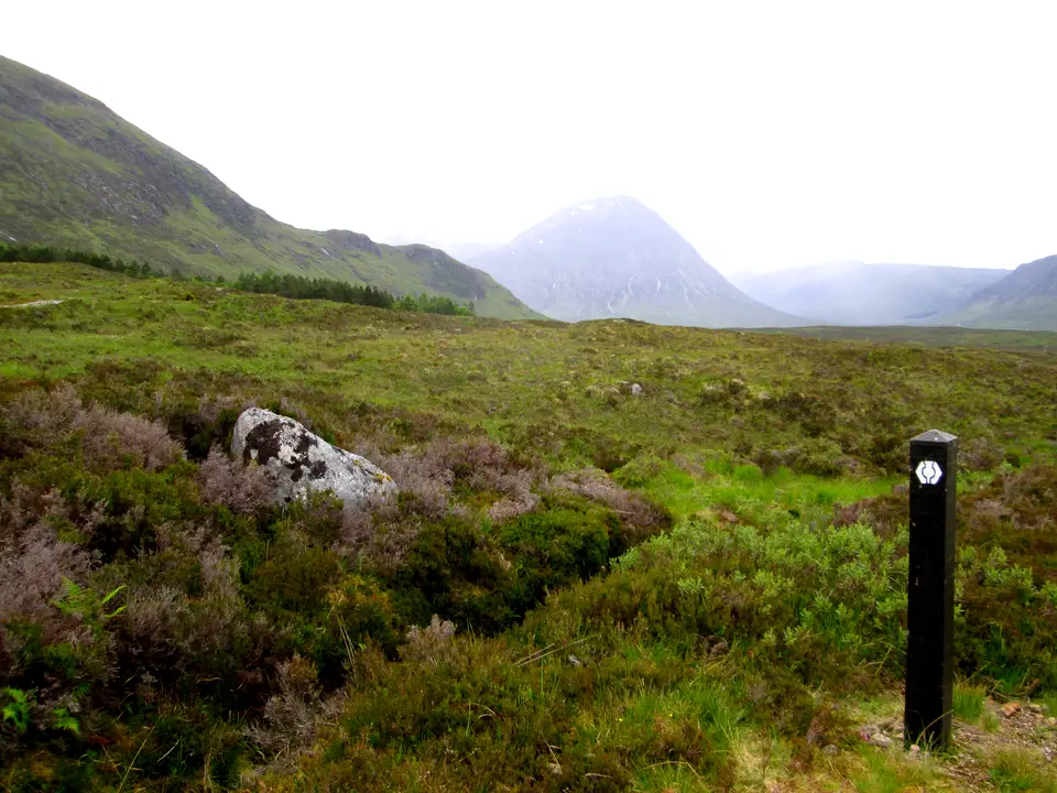
Photo: Peter S, CC BY-SA 2.0, ca* -
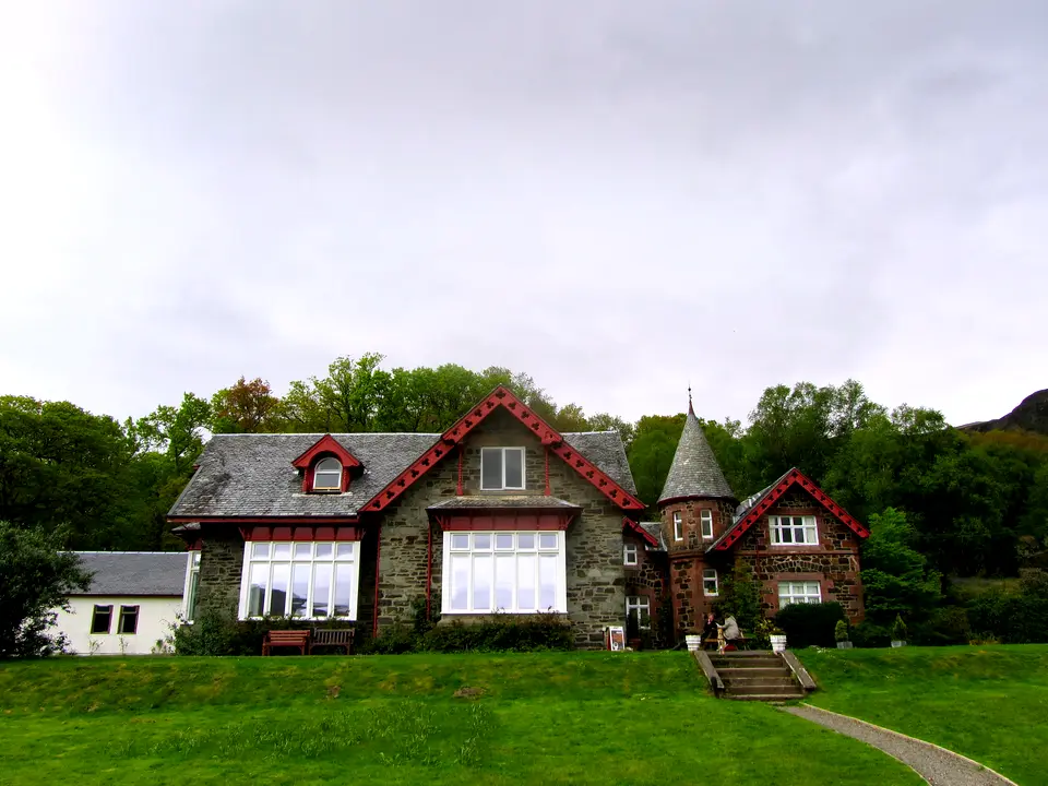
Photo: Chris Heaton, CC BY-SA 2.0, ca* -
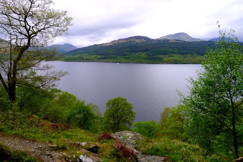
Photo: Tim Heaton, CC BY-SA 2.0, ca* -
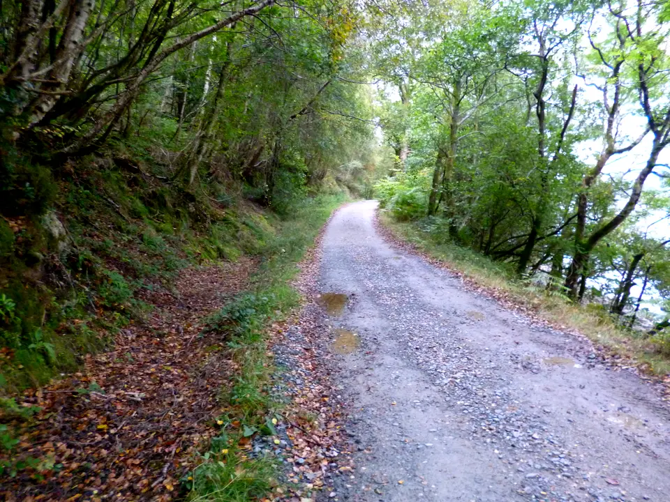
Photo: Dave Kelly, CC BY-SA 2.0, ca*


