
West Highland Way map and stages
Route map, eight stages and bail-out points from Milngavie to Fort William
This West Highland Way map shows the whole route from Milngavie to Fort William in eight stages: 96 miles, about 154 km, with about 2,900 m of climbing by our measure. Use the map, the stage table and the list of train and bus stops to plan your days before you book beds.
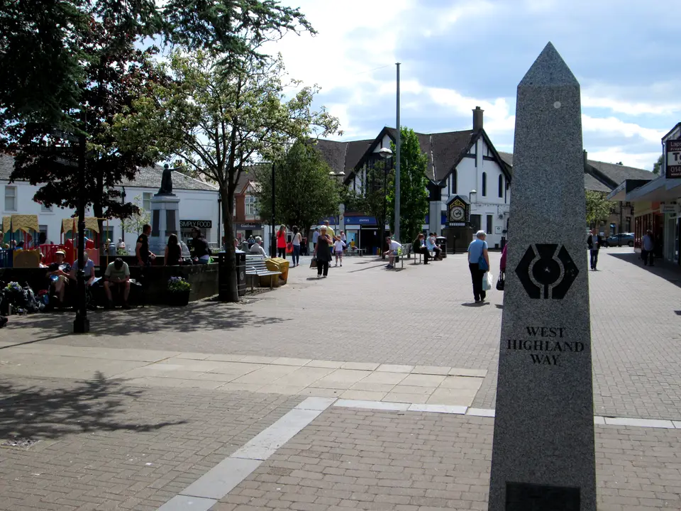
- Milngavie. Start, at the obelisk on Douglas Street. Trains from Glasgow Queen Street Low Level.
- Drymen. End of stage 1, 19.3 km from the start. The village is 0.8 km off the route.
- Balmaha. 30.5 km from the start, at the foot of the Conic Hill descent. Bus 309.
- Rowardennan. End of stage 2, 42.9 km. The only toilets on the Rowardennan to Inverarnan stage.
- Inversnaid. About 54 km. Hotel, waterbus to Tarbet in season, then rough path north.
- Ardlui. Station and hotel across the water, reached by the Ardleish ferry in season. Off the Way.
- Inverarnan. End of stage 3, 65.0 km, with the Drovers Inn 0.3 km off the route.
- Crianlarich. About 74.5 km. Station and shops 0.9 km down a spur path from the Way.
- Tyndrum. End of stage 4, 84.4 km. Two stations and a Citylink stop.
- Bridge of Orchy. 95.0 km. Station and hotel beside the Way.
- Inveroran. End of stage 5, 98.7 km. Hotel and campsite, no station.
- Glencoe Ski Centre. Citylink stop and cafe on Rannoch Moor stage, the only refreshments between Inveroran and Kingshouse.
- Kingshouse. End of stage 6, 114.3 km. Hotel and bunkhouse.
- Kinlochleven. End of stage 7, 128.7 km, after the Devil’s Staircase. Bus 44 to Fort William.
- Fort William. Finish at Gordon Square, 153.3 km. Trains and coaches to Glasgow.
- Official length, about 154 km
- 96 miles
- Official stages
- 8
- Highest point, Devil's Staircase
- 550 m
- OS Explorer sheets for the Way
- 6
How the map is split
The West Highland Way runs 96 miles (about 154 km) from Milngavie to Fort William, and the official site splits it into eight sections: Milngavie to Drymen, Drymen to Rowardennan, Rowardennan to Inverarnan, Inverarnan to Tyndrum, Tyndrum to Inveroran, Inveroran to Kingshouse, Kingshouse to Kinlochleven and Kinlochleven to Fort William. Our route map marks every one of those stage ends, plus the villages where trains and buses meet the Way.
Each stage has two sets of figures. The official site gives miles and rounded kilometres, and its kilometres add up to 152.3 rather than the 154 km the National Park quotes. We also measured every stage along the OpenStreetMap route and took heights from a terrain model with cells about 20 m wide, so the table shows both. The day plans on the itinerary page use our figures. They are map measurements, not a walked wheel, and each column is rounded separately, so a total can differ by 0.1 km.
This map is for planning, not navigation. The official GPS tracks say they are not intended for navigation, and the official FAQ says the Way is waymarked along its length but walkers should be able to use a map and compass. For getting to the start, the Milngavie start guide has trains, buses and parking.
Route map: Milngavie to Fort William
North is up, so the Way climbs the map from the bottom right. Tap a ring for a stop. The long, narrow shape is Loch Lomond, which the Way follows for about 40 km.
- Milngavie. Start, at the obelisk on Douglas Street. Trains from Glasgow Queen Street Low Level.
- Drymen. End of stage 1, 19.3 km from the start. The village is 0.8 km off the route.
- Balmaha. 30.5 km from the start, at the foot of the Conic Hill descent. Bus 309.
- Rowardennan. End of stage 2, 42.9 km. The only toilets on the Rowardennan to Inverarnan stage.
- Inversnaid. About 54 km. Hotel, waterbus to Tarbet in season, then rough path north.
- Ardlui. Station and hotel across the water, reached by the Ardleish ferry in season. Off the Way.
- Inverarnan. End of stage 3, 65.0 km, with the Drovers Inn 0.3 km off the route.
- Crianlarich. About 74.5 km. Station and shops 0.9 km down a spur path from the Way.
- Tyndrum. End of stage 4, 84.4 km. Two stations and a Citylink stop.
- Bridge of Orchy. 95.0 km. Station and hotel beside the Way.
- Inveroran. End of stage 5, 98.7 km. Hotel and campsite, no station.
- Glencoe Ski Centre. Citylink stop and cafe on Rannoch Moor stage, the only refreshments between Inveroran and Kingshouse.
- Kingshouse. End of stage 6, 114.3 km. Hotel and bunkhouse.
- Kinlochleven. End of stage 7, 128.7 km, after the Devil’s Staircase. Bus 44 to Fort William.
- Fort William. Finish at Gordon Square, 153.3 km. Trains and coaches to Glasgow.
Map built from OpenStreetMap contributors data (ODbL) and AWS terrain tiles by visit-lochlomond.com.
Stage table: distance, climb and what is on the way
Official figures are from the West Highland Way site; the measured columns are ours. Climb is the total up and down along the stage from the terrain model, so a stage can climb 400 m and still end lower than it began.
| Stage | Official | We measured | Total from Milngavie | Climb / descent (m) | Refreshments and toilets (official list) |
|---|---|---|---|---|---|
| 1. Milngavie to Drymen | 12 miles (19 km) | 19.3 km (12.0 miles) | 19.3 km | 166 / 155 | Refreshments: Milngavie, Mugdock Country Park, Dumgoyne, Drymen. Toilets: Milngavie, Mugdock, Drymen. |
| 2. Drymen to Rowardennan, over Conic Hill | 15 miles (22.5 km) | 23.7 km (14.7 miles) | 42.9 km | 488 / 536 | Refreshments: Drymen, Balmaha, Rowardennan. Toilets: Drymen, Balmaha, Milarrochy, Rowardennan. |
| 3. Rowardennan to Inverarnan | 14 miles (22.5 km) | 22.1 km (13.7 miles) | 65.0 km | 397 / 393 | Refreshments: Rowardennan, Inversnaid, Ardlui, Inverarnan. Toilets: Rowardennan only. |
| 4. Inverarnan to Tyndrum | 12 miles (19.3 km) | 19.4 km (12.1 miles) | 84.4 km | 414 / 197 | Refreshments: Inverarnan, Crianlarich, Tyndrum. Toilets: Crianlarich, Tyndrum. |
| 5. Tyndrum to Inveroran | 9 miles (14.5 km) | 14.3 km (8.9 miles) | 98.7 km | 262 / 324 | Tyndrum, Bridge of Orchy and Inveroran. |
| 6. Inveroran to Kingshouse | 10 miles (16 km) | 15.6 km (9.7 miles) | 114.3 km | 298 / 229 | Glencoe Ski Centre and Kingshouse Hotel and Bunkhouse only. |
| 7. Kingshouse to Kinlochleven | 9 miles (14.5 km) | 14.3 km (8.9 miles) | 128.7 km | 351 / 582 | Kinlochleven only. |
| 8. Kinlochleven to Fort William | 15 miles (24 km) | 24.7 km (15.3 miles) | 153.3 km | 521 / 526 | Fort William only. |
| Whole route | 96 miles (about 154 km) | 153.3 km (95.3 miles) | 2,897 / 2,942 | Highest point: Devil’s Staircase, 550 m by the official site and 547 m in our model. |
Kingshouse to Kinlochleven (stage 7) is the stage with the biggest drop, 582 m down. The longest is the last, 24.7 km. Rowardennan to Inverarnan has toilets only at Rowardennan. Conic Hill’s summit is 361 m, about 180 m off the path, which tops out at about 311 m in our model. See the Conic Hill guide for the hill itself.
OS maps, Harvey map, GPS tracks and waymarks
The Ordnance Survey shop sells an OS Explorer West Highland Way map set of six sheets: 392, 384, 377, OL39, OL38 and 348. When we read the shop on 18 November 2026 it listed the set at £62.35 and out of stock. OL38 is Loch Lomond South and OL39 is Loch Lomond North (Crianlarich); 384 covers Glen Coe, Glen Etive, Ballachulish and Kinlochleven. We did not confirm what 392, 377 and 348 cover, so check the sheet index before you buy single sheets.
The National Trails shop lists a Harvey West Highland Way map, a lightweight waterproof map at 1:40,000 that covers the whole route in one sheet. The scale and finish come from retailer listings, and the shop page itself would not load for us on 18 November 2026, so confirm both before you order.
The official site offers a downloadable GPS track for each of its eight sections and a mileage chart with distances between locations. Its maps are marked not intended for navigation, so carry paper or a phone map that you have tested offline.
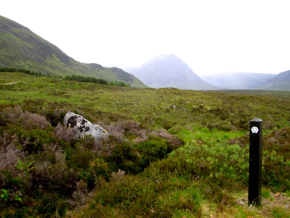
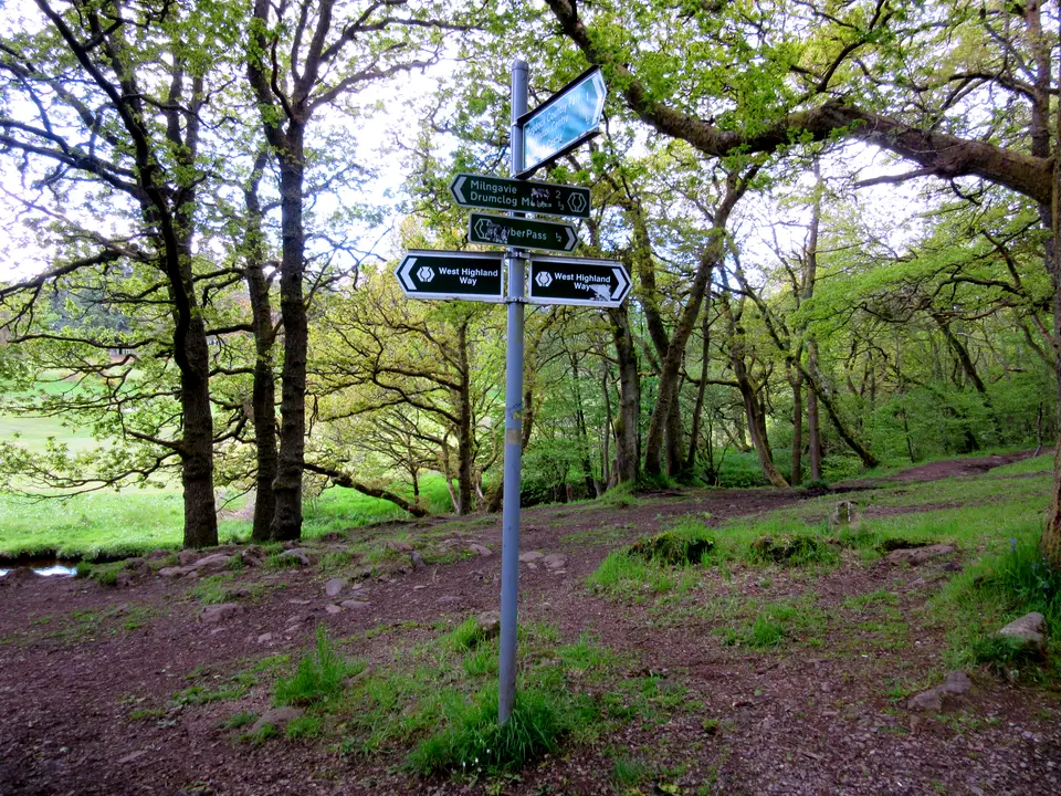
The Way was opened on 6 October 1980 as Scotland’s first long-distance route. Highland Council says the Highland long-distance routes, including this one, are marked with a thistle inside a hexagon. The official FAQ still asks walkers to be able to use a map and compass.
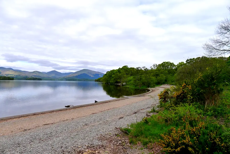
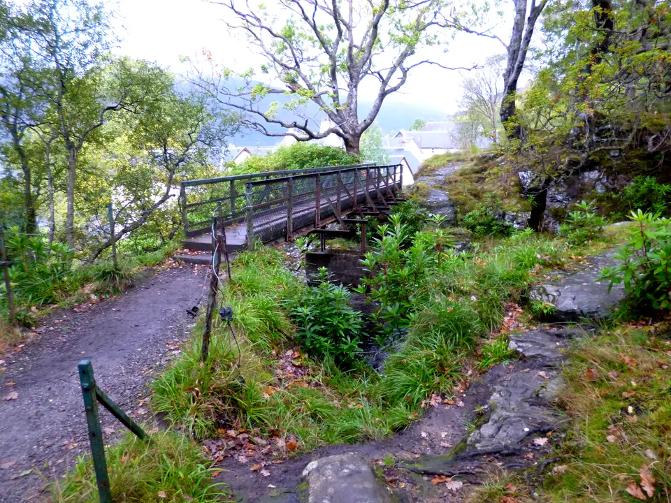
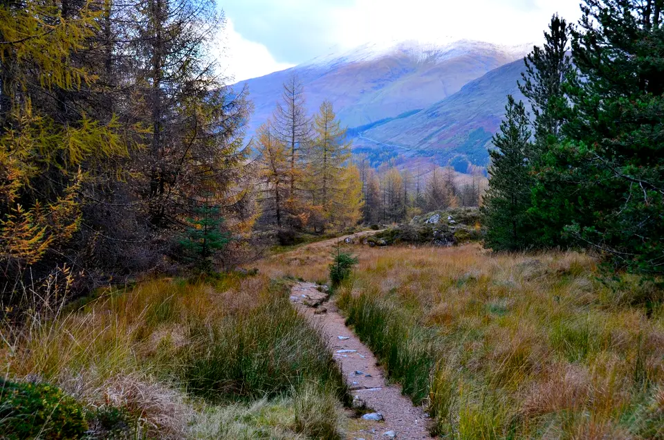
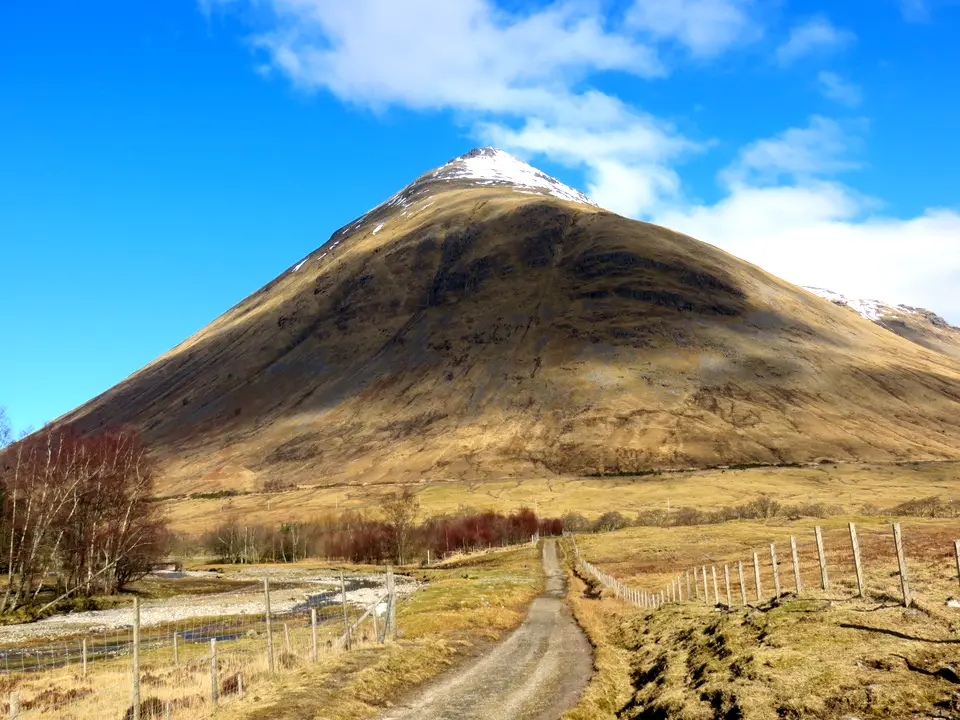
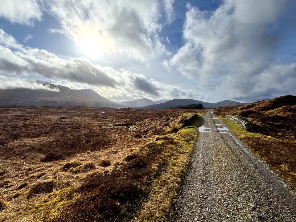
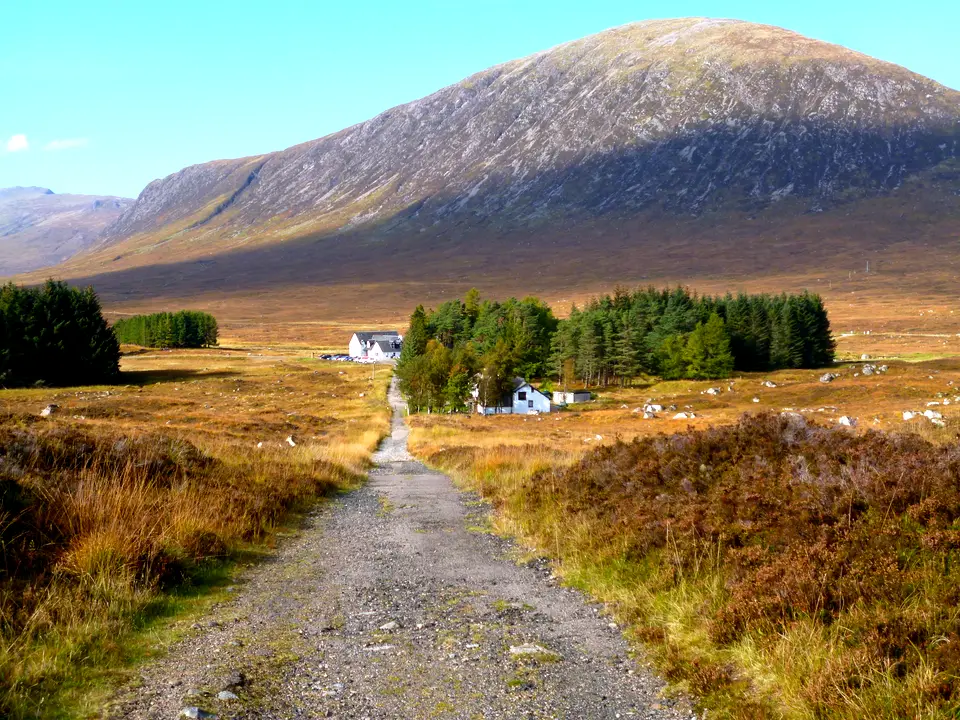
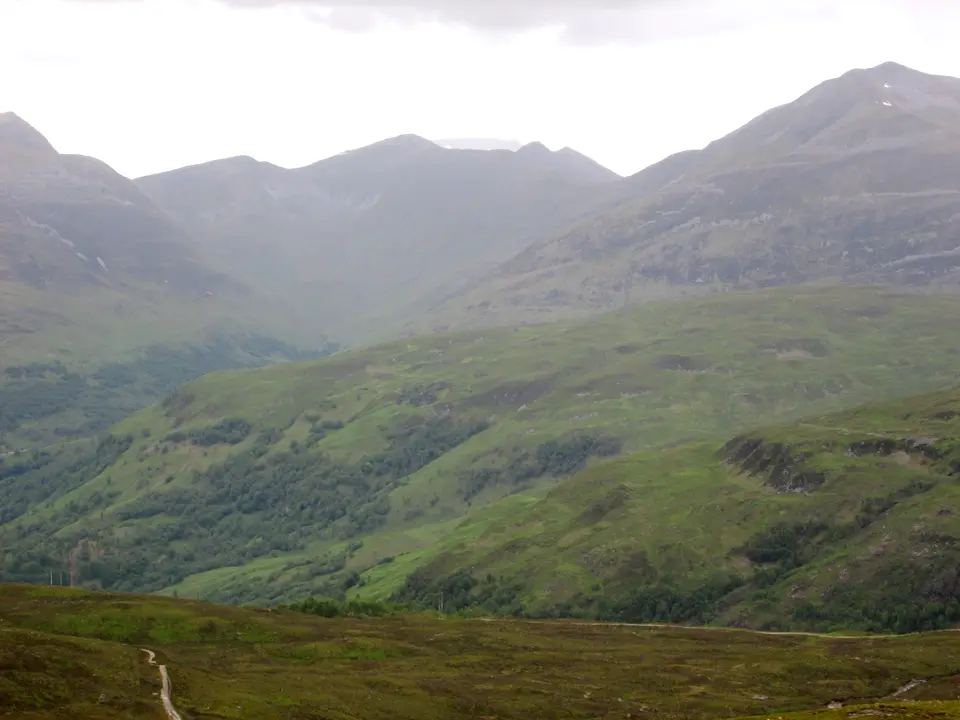
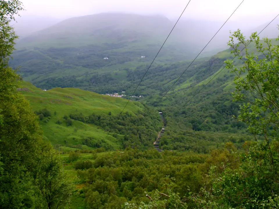
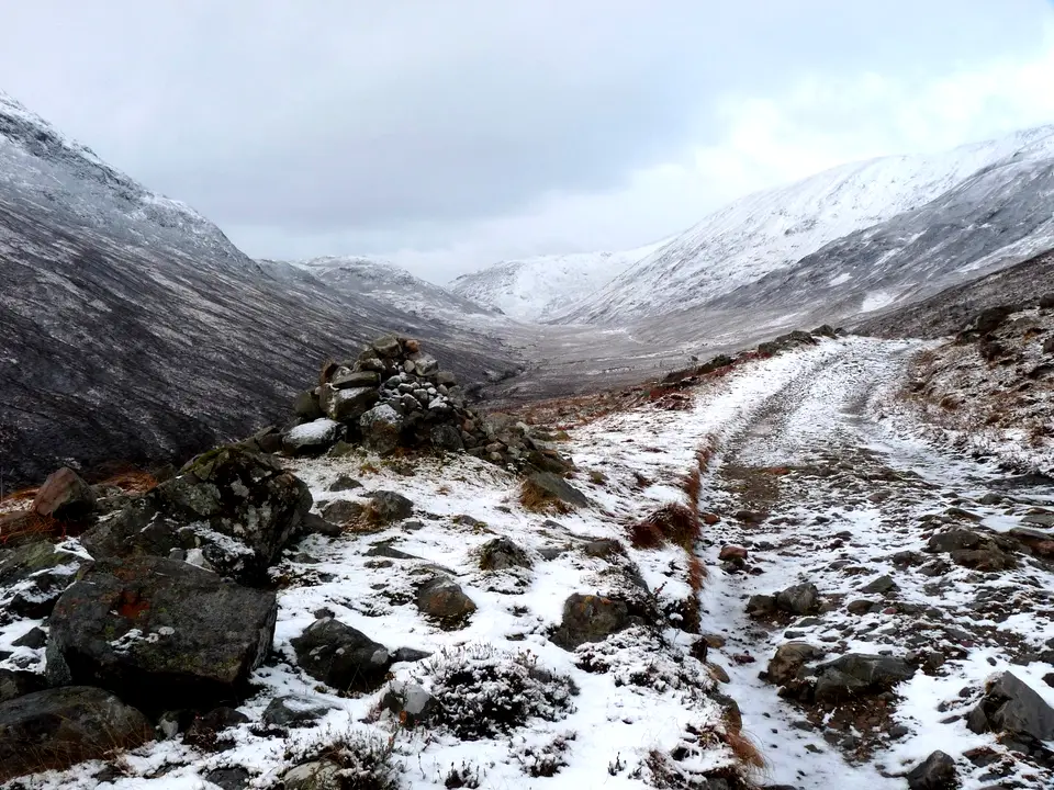
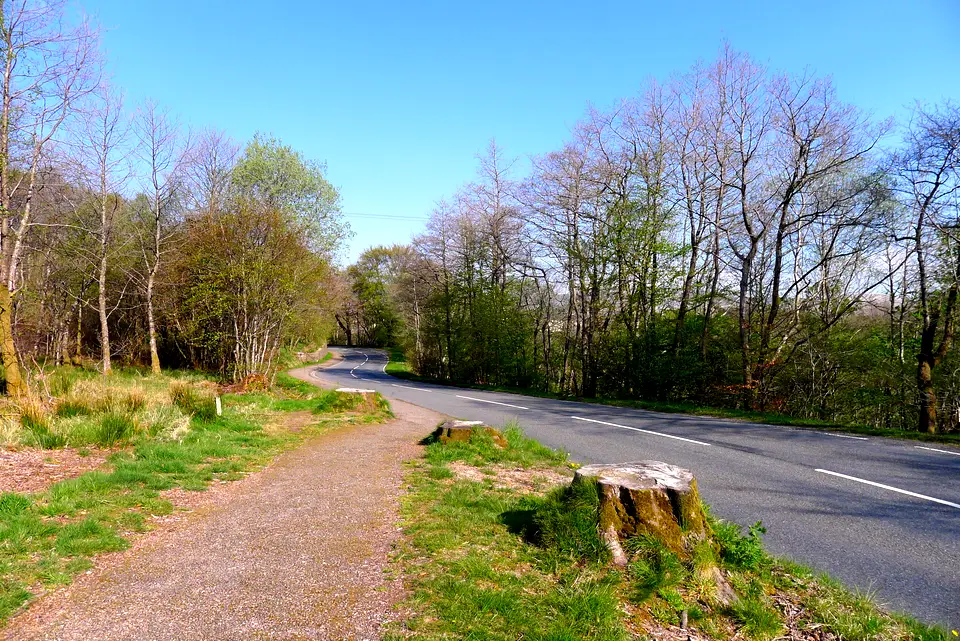
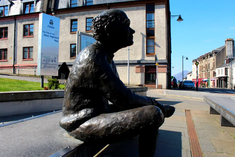
The West Highland Way, stage by stage, in photos














Where to leave the Way by train, bus or coach
Twelve places where public transport meets the route, from south to north, with the distance from Milngavie along our measured route. Use them to end a short section or to bail out. The timetables are the ones we read on 18 November 2026; check the journey planner or Traveline Scotland for the day.
| Place | Km from start | Train | Bus or coach | Notes |
|---|---|---|---|---|
| Milngavie (start) | 0 | ScotRail from Glasgow Queen Street Low Level in about 23 to 29 minutes, about every 30 minutes. Sundays: first train arrives 10:00. | None needed. | The start guide covers airport, Edinburgh and parking. Medium confidence: read from the ScotRail PDF. |
| Drymen | 19.3 (village 0.8 more) | None. | Route 309, Balloch to Balmaha via Drymen. | Check the 309 times on the day; it is not a Citylink route. |
| Balmaha | 30.5 | None. | Route 309. | Balmaha is the usual end of the first long weekend section. |
| Rowardennan | 42.9 | None. | Not a Citylink stop; we found no other bus in the sources we read. | Plan to walk on or use the boat at Inversnaid. |
| Inversnaid | about 54 | None. | Cruise Loch Lomond waterbus to Tarbet, about 30 minutes, 27 March to 1 November in 2026. | The 2027 timetable was not published when we checked. Tarbet has trains and Citylink. See Rowardennan to Inverarnan. |
| Inverarnan and Ardlui | 65.0 (Ardlui ferry about 61.9) | Ardlui station is across the water, reached by the Ardleish ferry from 1 April to 31 October. | Citylink stops at Inverarnan and the Ardlui Hotel. | Ferry times are as the hotel published them; confirm with the hotel. |
| Crianlarich | about 74.5 (spur 0.9) | West Highland line: from Glasgow in about 1 hour 45 on the 08:22 train. | Citylink. | The halfway point of the Way. The station is on the village side of the spur. |
| Tyndrum | 84.4 | Upper Tyndrum (Fort William line) and Tyndrum Lower (Oban line). | Citylink, at the layby by the toilets. | Check which station your train uses. |
| Bridge of Orchy | 95.0 | Station beside the Way: from Glasgow in about 2 hours 26 on the 08:22 train. | Citylink, at the hotel. | Glasgow-bound trains from Fort William call here at 09:07 and 18:58 on weekdays. |
| Kingshouse and Glencoe Ski Centre | 114.3 | None. | Citylink stops at the Glencoe Ski Centre road end, near the Way. | Confirm how far you walk from the Way to the stop on the day. |
| Kinlochleven | 128.7 | None. | Shiel Buses route 44 to Fort William in about 55 minutes: up to seven a day Monday to Saturday and four on Sundays on the timetable we read. Citylink at North Ballachulish, Kinlochleven Road End. | The Shiel pages show no valid-from date: phone 01397 700 700 or check the day before. |
| Fort William (finish) | 153.3 | ScotRail to Glasgow Queen Street: Monday to Saturday 07:44, 11:40, 17:37; Sundays 11:41 and 17:37. About 3 hours 43 to 4 hours 6 minutes. | Citylink: ten a day to Glasgow, first 06:00, last 18:40. Ember runs to Edinburgh. | Reaching Fort William after about 17:00 means the last train has gone: plan a night or the coach. |
ScotRail West Highlands timetable valid 17 May to 12 December 2026; Citylink timetable October 2026 edition; Shiel Buses with no valid-from date shown. Train times are parsed from the PDFs, so treat them as pointers and confirm in the journey planner.
The route in eight sections
Milngavie to Drymen, 19.3 km
The start is the granite obelisk on Douglas Street in Milngavie. This is the gentlest stage: footpaths, tracks and lanes with no major climbs, rising to about 138 m in our model (official range 19 to 140 m) past Mugdock Country Park and Dumgoyne. The official route skirts Drymen, so many walkers end the day in the village, 0.8 km off the Way. The National Park camping byelaws apply on leaving Drymen, 1 March to 30 September.
Drymen to Rowardennan, 23.7 km
Conic Hill is the only significant ascent, and there is a low-level alternative. After Balmaha it is mainly lochside path. Dogs are kept out of two enclosed fields on the east approach to Conic Hill from 1 April to 31 May, with a signed diversion that adds no time or distance. The National Park finished a £900,000 path upgrade on the hill in 2025 and the notices we read on 18 November 2026 showed no closure. Conic Hill has the hill in detail.
Rowardennan to Inverarnan, 22.1 km
A forestry track gives way to rocky path, crags and boulders, and beyond Inversnaid the official site calls it challenging underfoot. Inversnaid is 11.4 km along with 10.7 km to go, and Rowardennan has the only toilets. The full guide is Rowardennan to Inverarnan and the Drovers Inn.
Inverarnan to Tyndrum, 19.4 km
Mainly well-surfaced path and track, much of it old military road, with moderate hills: 414 m up and 197 m down by our measure, finishing about 237 m above sea level. The Way bypasses Crianlarich to the west, and a spur of 0.9 km leads into the village, the halfway point of the route.
Tyndrum to Inveroran, 14.3 km
The shortest stage and, in the official words, as straightforward a day as you will find on the Way: good path with a few inclines and descents. It passes the foot of Beinn Dorain, the Kinglass Viaduct and Loch Tulla, with Bridge of Orchy at 95.0 km and Inveroran at 98.7 km.
Inveroran to Kingshouse, 15.6 km
Good track along the old Parliamentary Road, but Rannoch Moor is very exposed and can be tricky in bad weather. There is no shelter until the Glencoe Ski Centre, and the only refreshments on the stage are the ski centre and Kingshouse. The high point is 446 m.
Kingshouse to Kinlochleven, 14.3 km
Good underfoot and easy to follow, but very exposed in poor weather, especially on the moorland before Kinlochleven. The Devil’s Staircase at 550 m is the highest point on the Way, and the 582 m of descent that follows is the biggest on any stage in our measurements. Kinlochleven is the only place for refreshments.
Kinlochleven to Fort William, 24.7 km
A steep climb out of Kinlochleven, a rough Lairigmor, then undulating path from Lundavra to Glen Nevis and tarmac into town. A new high route into Fort William was cleared and waymarked by Highland Council on 3 June 2026, staying 50 to 70 m above Glen Nevis and ending near the Leisure Centre before the walk to Gordon Square. Fort William is the only stop for refreshments and toilets.
Check before you rely on a map
- Storm Boelo: the newest entry on the official notices page on 18 November 2026 was dated 3 November 2026, post-storm checks. It said trees were down in various places and rangers were still assessing the damage. Clearing may since have finished or new notices appeared, so read the notices page the day before you set out.
- Ardleish Bridge: a notice dated 17 March 2026 said Ardleish Bridge, north of Inversnaid, had been taken out of service, with a short bypass over informal stepping stones until it is replaced. The two notice pages we read on 18 November 2026 showed no later Ardleish notice, so we cannot say if it has been replaced. Check before the Rowardennan to Inverarnan day.
- Official GPS tracks and our map are planning aids. The official site wants walkers to read a map and compass, and Rannoch Moor and the moor above Kinlochleven are very exposed in poor weather.
- Winter: the official FAQ says that from November to March only fit walkers with winter navigation skills should walk the Way, and that the path can disappear under snow in the northern half.
- Timetables change in December and spring. Re-check every train, Citylink and Shiel time on the day.
Planning the rest of the walk
To turn the stage table into days, read how many days and when to go, with day plans from 4 to 10 days. For beds, baggage and camping stop by stop, use the accommodation guide. The month-by-month weather for the Loch Lomond area is on its own page, and every other route is under all walks.
We may earn a commission on some links to Booking.com and GetYourGuide: how we earn a commission.
Find a bed near the Way
Partner links: we may earn a commission
Prices and free rooms change daily, so check them for your dates.
Check hotels in West Highland Way on Booking.com Compare bases around the lochQuestions people ask
How far is the West Highland Way to walk?
It is 96 miles, about 154 km, from Milngavie to Fort William; the National Park says it typically takes 7 to 8 days. The eight official stage lengths add to 152.3 km. We measured 153.3 km along the OpenStreetMap route, with about 2,900 m of total climbing.
Is there accommodation along the West Highland Way?
Yes, at every stop from Milngavie to Fort William, but some stops have few beds: Inveroran Hotel has nine rooms, for example. Book ahead, and read the stop-by-stop beds guide for each stop, baggage transfer and camping.
Can you provide a 7 day itinerary for the West Highland Way?
The official 7-day plan, in miles, is Milngavie to Drymen 12, Drymen to Rowardennan 15, Rowardennan to Inverarnan 14, Inverarnan to Tyndrum 12, Tyndrum to Inveroran 9, Inveroran to Kinlochleven 19 and Kinlochleven to Fort William 15. The itinerary page gives each day in kilometres, with two ways to split the second half.
Can a beginner walk the West Highland Way?
The official FAQ says solo walking is fine and the Way is waymarked, but expects you to be able to read a map and compass. By the official descriptions the easiest days are Milngavie to Drymen, with no major climbs, and Tyndrum to Inveroran. The roughest underfoot is beyond Inversnaid, and Rannoch Moor and the moor before Kinlochleven are very exposed in bad weather. Our longest day is the last, 24.7 km, so more, shorter days make it easier.
Which OS maps cover the West Highland Way?
The Ordnance Survey sells a set of six OS Explorer sheets for the Way: 392, 384, 377, OL39, OL38 and 348. OL38 is Loch Lomond South and OL39 is Loch Lomond North. There is also a Harvey 1:40,000 waterproof map of the whole route, per retailer listings.
Is there a GPS track for the West Highland Way?
Yes. The official site offers a downloadable GPS track for each of the eight sections, but marks its maps as not intended for navigation.
How is the West Highland Way waymarked?
With a thistle inside a hexagon, the symbol Highland Council says marks the Highland long-distance routes. The official FAQ says the Way is waymarked along its length.
Where can I get a train or bus from the West Highland Way?
Trains meet the Way at Milngavie, Crianlarich, Tyndrum and Bridge of Orchy, plus Ardlui across the water, and finish at Fort William. Citylink coaches stop at Inverarnan, Crianlarich, Tyndrum, Bridge of Orchy, Glencoe Ski Centre and North Ballachulish. See the table above for each place.
More on the Way
-
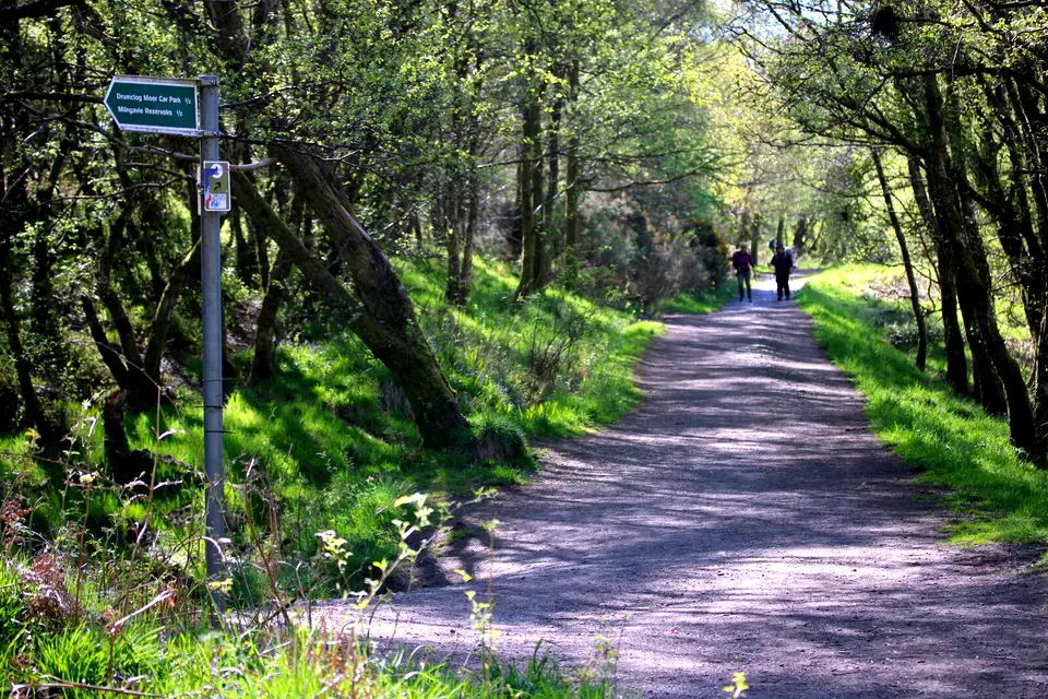
Photo: Richard Sutcliffe, CC BY-SA 2.0, ca* -
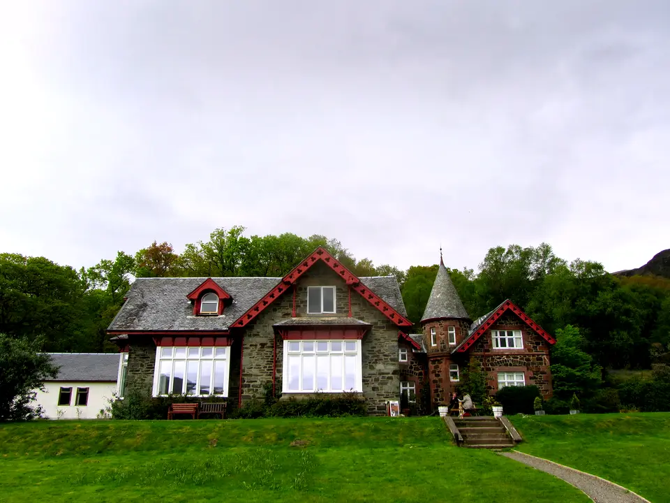
Photo: Chris Heaton, CC BY-SA 2.0, ca* -
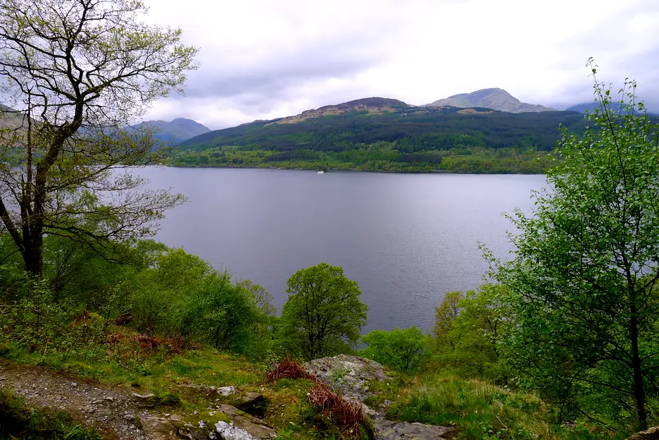
Photo: Tim Heaton, CC BY-SA 2.0, ca* -
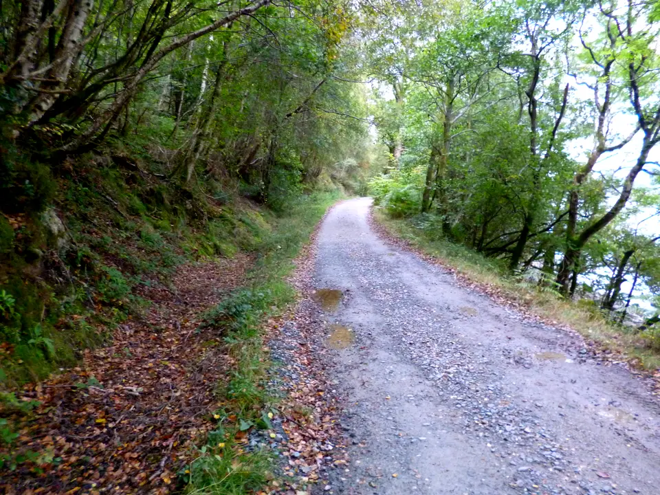
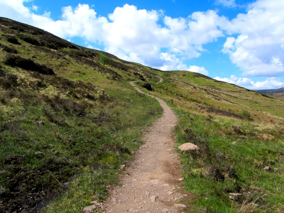
Photo: Dave Kelly, CC BY-SA 2.0, ca*


