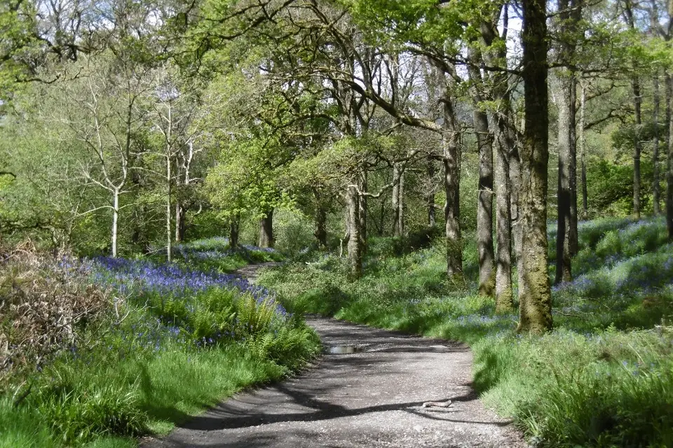

West Highland Way
Long-distance path, Milngavie to Fort William
Verdict
Go if you want a long-distance walk with an easy start from Glasgow and the logistics worked out.
Skip the full route if you only have a weekend. Walk Balmaha to Rowardennan instead.
- Drymen. The start of this section, 0 km. The first village on the loch section.
- Balmaha. 11 km from Drymen, over Conic Hill. A natural first overnight stop on the east shore.
- Rowardennan. About 23 km from Drymen, at the foot of Ben Lomond.
- Inversnaid. About 35 km from Drymen, on the rougher shore path.
- Inverarnan. The end of the Loch Lomond section, about 44 km from Drymen.
- Whole route
- 154 km
- Usual time
- 7–8 days
- Loch Lomond
- 44 km
- Sections
- 8
Beds along the route fill in the warmer months. Book ahead.
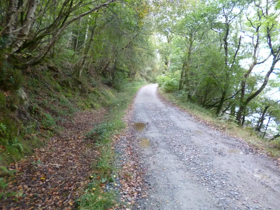
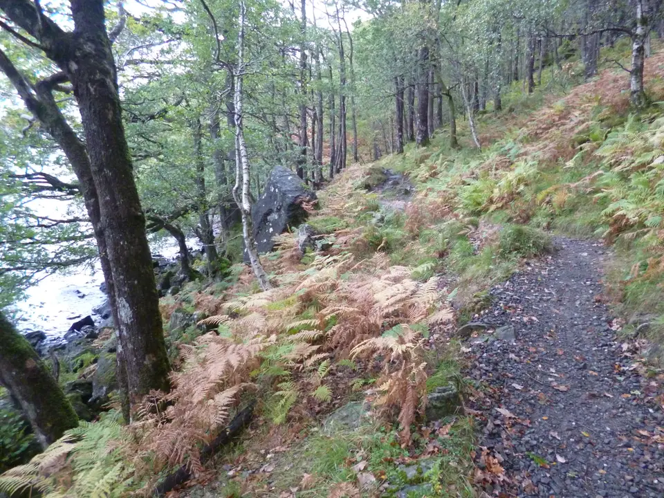
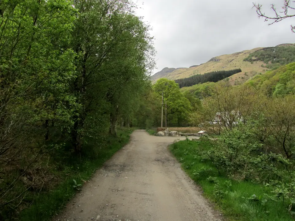
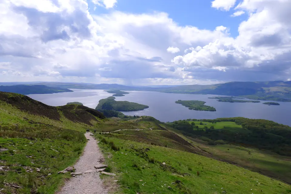
The West Highland Way in photos


_-_geograph.org.uk_-_3994083.jpg)

Is it for me?
The West Highland Way is a 154 km (96 mile) path from Milngavie to Fort William, usually walked in 7 to 8 days. This guide covers the 44 km Loch Lomond section from Drymen to Inverarnan and how to plan the whole route. Drymen on the route is the first village on the loch section, and staying in Drymen is a good way to split the first two days. Check what the weather is like for your month.
- Beginners
- Yes, with preparation. It is a signed national trail, so route finding is easy, but it is 154 km in all. Train with back-to-back days and book beds first.
- Children
- Possible on short sections such as Balmaha to Rowardennan. The full route is a lot for children.
- Dogs
- Dogs are allowed, but livestock graze on parts of the route. At Conic Hill the enclosed fields on the approach are closed to dog walkers from 1 April to 31 May (lambing).
- Buggies
- Not suited to buggies or wheelchairs: the loch shore north of Rowardennan is rough and narrow in places.
- Terrain
- Forest track, loch-shore path and one hill crossing over Conic Hill (361 m). North of Rowardennan the path is rougher than the south.
- Navigation
- The route is signed and mapped on the official website. Carry a map or a phone map as well, and do not rely on a phone battery.
Map of the Loch Lomond section
- Drymen. The start of this section, 0 km. The first village on the loch section.
- Balmaha. 11 km from Drymen, over Conic Hill. A natural first overnight stop on the east shore.
- Rowardennan. About 23 km from Drymen, at the foot of Ben Lomond.
- Inversnaid. About 35 km from Drymen, on the rougher shore path.
- Inverarnan. The end of the Loch Lomond section, about 44 km from Drymen.
Map © OpenStreetMap contributors. Open in maps
The Loch Lomond section, stage by stage
-
Drymen
Start at Drymen. The path heads west on tracks and paths towards Conic Hill and the loch.
-
Conic Hill
The route crosses the shoulder of Conic Hill, the high point of the section, with the first big view of the loch and its islands.
-
Balmaha
Down to Balmaha on the east shore, a natural first night. Boats to the nature reserve of Inchcailloch leave from here: see Inchcailloch, what to know before you go.
-
Rowardennan
Along the shore to Rowardennan, at the foot of Ben Lomond. The Rowardennan village guide has the detail.
-
Inversnaid
The shore path north of Rowardennan is slower than the distance suggests, with roots, rocks and stream crossings. Read about Inversnaid before you plan a night there.
-
Inverarnan
The end of the Loch Lomond section, at the head of the loch. The route goes on north to Tyndrum.
Parking & getting there
Balmaha car park (Stirling Council)
- Where
- Balmaha, on the route between Conic Hill and Rowardennan. Many walkers park here for a day section.
- Operator
- Stirling Council, pay and display
- Price
- Up to 1 hour free (display your ticket); 2 hours £3; 4 hours £4; all day £5. Check the machine.
- Hours
- Pay and display Monday to Saturday 8:45am to 5pm, and Sundays at Balmaha
- Payment
- Cash or RingGo (cashless)
- Overnight
- Motorhomes may use one bay. Sleeping overnight in a motorhome is not allowed.
- Drymen
- For the start at Drymen, see Drymen car parks and fill times.
Last checked 12 Oct 2026
Car-free
Bus 309 (McColl's Travel) runs from Balloch to Balmaha via Gartocharn and Drymen. For Milngavie, Fort William and the stages in between, check ScotRail and Traveline Scotland on the day, and look at the baggage and services pages on the official West Highland Way website. For the wider picture, see getting to Loch Lomond.
When it is busy
Editorial estimate of a typical summer day on the Loch Lomond section, on the path and in Balmaha. These are not measured counts.
| Day | 8:00 | 9:00 | 10:00 | 11:00 | 12:00 | 13:00 | 14:00 | 15:00 | 16:00 |
|---|---|---|---|---|---|---|---|---|---|
| Weekday | Quiet | Quiet | Steady | Steady | Steady | Steady | Steady | Steady | Quiet |
| Saturday | Quiet | Steady | Busy | Busy | Busy | Busy | Busy | Busy | Steady |
| Sunday | Quiet | Steady | Busy | Busy | Busy | Busy | Busy | Steady | Quiet |
Q QuietS SteadyB BusyF Car park full
Tip: walk on a weekday in the warmer months, or start early. Beds along the route are the real pinch point, so book them first.
Call it off if
- The Conic Hill crossing is in cloud or strong wind: the ridge is exposed and the path is harder to read.
- The shore path is wet or icy: the rough ground north of Rowardennan is slow and slippery in the wet.
- You have not booked a bed for the night: do not set off hoping to find one.
- It is late in the day and the next stop is far: daylight runs out quickly in the shorter months.
- The weather has turned and you have no way out: turn back to the last road or village.
A sample 7-day plan
Days 1 to 3
Milngavie to Inverarnan
- Day 1 Milngavie to Drymen, about 19 km.
- Day 2 Drymen to Rowardennan, about 23 km, over Conic Hill and through Balmaha.
- Day 3 Rowardennan to Inverarnan, about 21 km, with the rough shore north of Inversnaid.
Days 4 to 5
Into the hills
- Day 4 Inverarnan to Tyndrum, about 19 km.
- Day 5 Tyndrum to Kingshouse via Inveroran, about 30 km, across Rannoch Moor's edge. A long day.
Days 6 to 7
Glencoe to Fort William
- Day 6 Kingshouse to Kinlochleven, about 14.5 km.
- Day 7 Kinlochleven to Fort William, about 24 km. Many walkers add rest days. For a gentler weekend, see hill and lochside walks.
Where to stay on the Loch Lomond section
Partner links: we may earn a commission
Questions people ask
How long does it take to walk the West Highland Way?
Typically 7 to 8 days for the 154 km (96 miles) from Milngavie to Fort William. Fit walkers can go faster and many add rest days.
Where does the West Highland Way start and finish?
It starts at the obelisk in Milngavie and finishes at the Sore Feet statue in Fort William.
How long is the Loch Lomond section?
About 44 km measured from the mapped route, from Drymen to Inverarnan. That is Drymen to Rowardennan (about 23 km) and Rowardennan to Inverarnan (about 21 km).
What are the stages of the West Highland Way?
There are eight official sections: Milngavie to Drymen, Drymen to Rowardennan, Rowardennan to Inverarnan, Inverarnan to Tyndrum, Tyndrum to Inveroran, Inveroran to Kingshouse, Kingshouse to Kinlochleven and Kinlochleven to Fort William.
Can a beginner walk the West Highland Way?
Yes, with preparation. It is a signed route with good facilities in the villages, but it is a 7 to 8 day walk. Train with back-to-back days first.
Can you provide a 7-day itinerary for the West Highland Way?
Yes: the sample plan on this page splits the route into seven days of about 14 to 30 km, built from mapped section lengths. Adjust it to where you can find beds.
Can I find guided walks on the West Highland Way?
Yes. VisitScotland lists guided and supported tours. The official West Highland Way website covers accommodation, services and baggage transfer.
What is the most beautiful part of the West Highland Way?
That is a matter of taste. As an editorial opinion, the Loch Lomond section is the most varied, with Conic Hill and the shore north of Rowardennan. For places to base yourself, browse the villages around the loch.
Can I camp on the West Highland Way?
Rules differ by area and season on the loch. Read the camping byelaw guide before you bring a tent.
Is the West Highland Way Race the same as the walk?
No. The race is a separate running event on the same path. Check the race organisers for its dates and rules.
Nearby
- On the routeConic HillA 4 km walk of 2 to 3 hours up the West Highland Way from Balmaha: the route's first big hill.
- Another walkLoch Lomond Faerie TrailA gentler walk on Loch Lomond, with its own route guide.
- By ferry from BalmahaInchcaillochA nature reserve of oak woodland, reached by boat from Balmaha.
- Above the routeBen LomondThe most southerly Munro rises behind Rowardennan: a long day, 12 km, 4.5 to 5.5 hours.