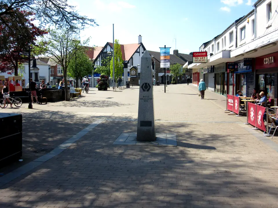

West Highland Way start in Milngavie
Milngavie, the start of the West Highland Way, and how to reach it
The West Highland Way start is an obelisk on Douglas Street in the centre of Milngavie, a few minutes’ walk from the railway station. Trains from Glasgow Queen Street Low Level take 23 to 29 minutes, and on Sundays the first one arrives at 10:00. This guide covers trains, the airport, parking, bags, last supplies and day one to Drymen.
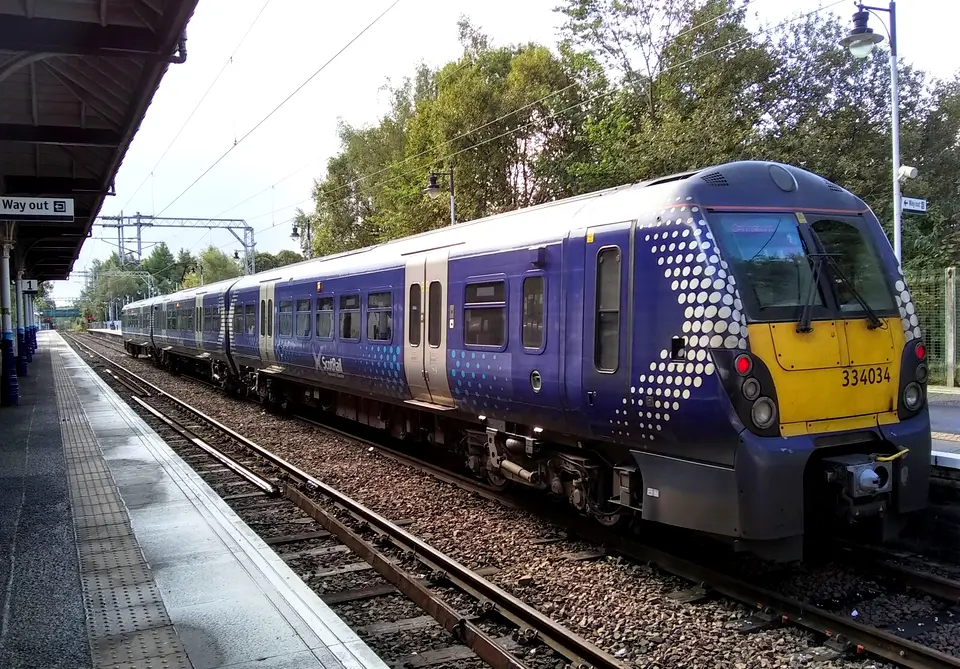
- Milngavie station. Trains from Glasgow Queen Street Low Level arrive here. The obelisk is a few minutes’ walk away through the town centre.
- The obelisk, Douglas Street. The official start of the West Highland Way. Waymarks use a thistle in a hexagon.
- Day one, Milngavie to Drymen
- 19 km
- Glasgow to Milngavie by train, minutes
- 23–29
- First Sunday train to arrive from Glasgow
- 10:00
- Station car park, council list
- Free
Where the Way starts and how to reach it
The West Highland Way starts at an obelisk on Douglas Street in the centre of Milngavie. Milngavie station (postcode G62 8PG) is about 220 m away in a straight line, a few minutes’ walk through the town centre, so follow the signs. The official site says the Way is traditionally walked south to north, so this is the start for nearly everyone. The finish is a statue of a walker in Gordon Square, Fort William. The West Highland Way guide covers the whole route.
From Glasgow, take a ScotRail train from Queen Street Low Level, not the High Level platforms. On the timetable we checked (28 September to 12 December 2026) the journey takes about 23 to 29 minutes, trains run about every 30 minutes with more at peak, and the first Sunday train to arrive from Glasgow reaches Milngavie at 10:00. There is no direct service from Glasgow Airport; the route is bus 500 to Buchanan Bus Station and then the train.
By car, there is no dedicated car park at either end of the Way. The official site points to the station car park (“currently free but could be busy”) or the police station, and some Milngavie hotels may keep a car. Day one runs 19 km to Drymen over footpaths, tracks and lanes with no major climbs. Anyone arriving late in the day, or on a Sunday morning, should plan around that distance: the day one section has the arithmetic.
Trains from Glasgow to Milngavie
Milngavie trains leave Glasgow from Queen Street Low Level and call at Hillfoot and Bearsden. The figures below come from ScotRail’s Dunbartonshire timetable, valid from 28 September to 12 December 2026, which we read as a PDF. The frequency is our reading of its departure rows, not a ScotRail statement, and a new timetable starts after 12 December, so check the ScotRail journey planner for your date.
A Sunday start cannot begin before about 10:00 if you travel by train from Glasgow. Earlier Sunday trains from Glasgow run to Dalmuir and Balloch, not Milngavie. For a 19 km first day that matters more than it sounds, and the day one section shows the arithmetic.
| Day | Journey | What the timetable shows |
|---|---|---|
| Monday to Friday | 23 to 29 min | First arrival from Glasgow 06:45, last 23:51. Trains about every 30 minutes, with extra trains at peak. |
| Saturday | Mostly 23 to 25 min | Departures from Milngavie to Glasgow run from 06:31 to 23:35. We did not capture the first Saturday arrival at Milngavie, so check the planner. |
| Sunday | About 21 to 27 min | First train leaves Glasgow at 09:39 and reaches Milngavie at 10:00, then roughly every 30 minutes (10:21, 10:52, 11:21, 11:52). Last listed arrival in our reading 22:30. |
From Glasgow Airport and Edinburgh
We found no direct service from Glasgow Airport to Milngavie. The route is First Bus 500 Airport Express to Glasgow Buchanan Bus Station, a short walk to Queen Street station, then the Low Level train. On First’s timetables valid from 28 September 2026 the 500 runs every 10 minutes Monday to Friday and every 12 minutes on Sunday by day, the first bus leaves the airport at 04:30, and the ride takes about 18 to 33 minutes (about 20 to 22 on Sunday). We have no sourced door-to-door time, so allow generously after landing, and check First and ScotRail for your date.
From Edinburgh, change at Glasgow Queen Street. ScotRail’s Edinburgh to Glasgow Queen Street timetable (17 May to 12 December 2026) shows trains about every 15 minutes at peak and every 30 at other times from Monday to Friday, first 06:00 and last 23:45, taking about 48 to 60 minutes. On Sundays trains run every 30 minutes from 08:00; the 08:00 arrives at 08:56 and the 08:30 at 09:26, which only just leaves time to change for the 09:39 Milngavie train. A few weekday through trains run from Edinburgh to Milngavie in about 1 hour 35 to 1 hour 40, for example 07:38 arriving 09:18, but most walkers change.
The official site recommends Traveline Scotland for planning a journey from anywhere else. If you arrive on a long-haul flight, consider a night in Milngavie or Glasgow first; the night before section has the options.
Parking for walkers in Milngavie
The official site says there is no dedicated car park at either end of the Way, and by car you drive the A81 north from Glasgow to Milngavie. It suggests parking outside the station, where there is CCTV and parking is “currently free but could be busy”, or at the police station, where you should tell the police your plan, your registration and an emergency contact. Some B&Bs and hotels in Milngavie may let you leave a car, sometimes for a fee or a charity donation, arranged in advance.
East Dunbartonshire Council lists 99 spaces in the station car park and says it is free, while National Rail lists 134, so treat the count as about 100. Neither source gives a maximum stay for the free car parks. If you will be away for a week or more, ask the council or your hotel before you leave the car, because we cannot tell you that a long stay is allowed.
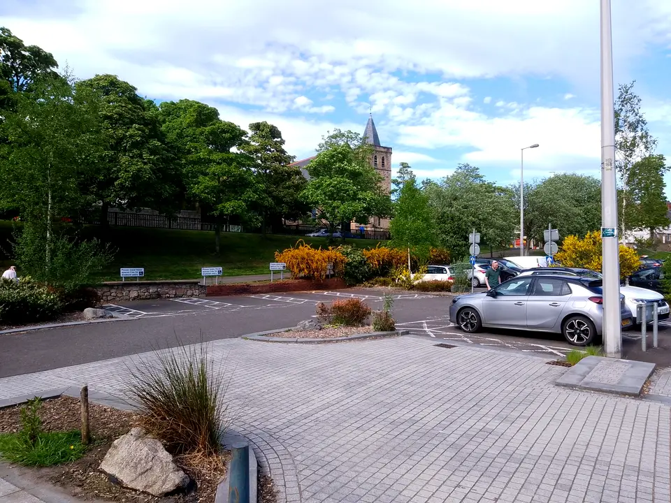
Pay and display charges, from the council, apply Monday to Saturday between 8am and 6pm: £2 for up to two hours, £3 up to three, £4 up to four and £6 over four hours. There are no restrictions in the evenings or on Sundays, PayByPhone is accepted and Blue Badge holders park free. Douglas Street, the road with the obelisk, has one of the pay car parks. Because you finish in Fort William, the train home goes back to Glasgow first, so the getting home section matters for the car.
| Car park | Spaces | Cost |
|---|---|---|
| Milngavie station | 99 on the council list, 134 on National Rail | Free; the official site adds that it could be busy |
| Douglas Street | 57 | Pay and display, Monday to Saturday 8am to 6pm |
| Mugdock Road | 73 | Pay and display, Monday to Saturday 8am to 6pm |
| Woodburn Way | 65 | Pay and display, Monday to Saturday 8am to 6pm |
| Stewart Street North | 21 | Pay and display, Monday to Saturday 8am to 6pm |
| Kersland, Ellangowan, Milngavie Library, Town Hall, Mugdock Road East, Riverside, Stewart Street South | 29, 28, 33, 18, 17, 15 and 11 | Free council car parks; no maximum stay stated |
Bag drop and left luggage at Milngavie
Baggage transfer firms collect at the start, and each publishes its own Milngavie arrangement. AMS Scotland says that if you did not sleep in Milngavie you hand bags to its van at the station between 8:00am and 9:30am. Baggage Freedom runs a drop in the station car park from 8am to 9am, seven days a week from March to October, and warns that arriving after 9am can mean carrying your bags on day one. Travel-lite has an office in Milngavie about 100 m from the start. Each limits a bag to 20 kg and wants confirmed bookings, which the accommodation and baggage guide explains with prices.
For storing a suitcase while you walk, the options we found are paid storage with the same firms: Baggage Freedom lists storage at £5 a bag a day, up to 10 days, at Milngavie or Fort William (2027 season), and Travel-lite lists baggage storage at £45 on its 2026 booking page. National Rail’s Milngavie station page lists toilets, a ticket office and cycle storage but no left luggage, so do not count on a locker.
Last supplies in Milngavie
Milngavie is the last place with a choice of shops before Drymen, 19 km on. The official directory lists Gavin’s Mill, a volunteer-run cafe and shop in an old corn mill; The Honeybee Bakery, described as about half way between the station and the start; two pharmacies; and Baxters Newsagents, a passport point. The official FAQ lists cash machines at Milngavie (various banks) and the next one at the Spar in Drymen.
Gas is the awkward item. The official FAQ says there are various outdoor stores in Glasgow and more limited options in Milngavie, and tells you to check availability and opening hours. Its directory says Creature Comforts, 3 Mugdock Road, stocks camping gas, midge repellent and head nets, walking poles and waterproof maps; its own website looks like a pet shop, so phone before you rely on it (0141 956 1999). West End Outdoors, at 190 Milngavie Road in Bearsden, 100 yards from Hillfoot station on the same line, stocks stove fuel, midge protection, water filters and blister patches. We found no gas stockist named on the Way north of Milngavie, so buy canisters here or in Glasgow.
Fill bottles at the Scottish Water top-up tap on Douglas Street (G62 6PB), which the official directory places at the start of the Way. Lomond Mountain Rescue’s guidance on the official site is to take water first from known sources such as taps and Scottish Water fountains, and to treat stream water, so a full bottle here is worth carrying.
Day one: Milngavie to Drymen, 19 km
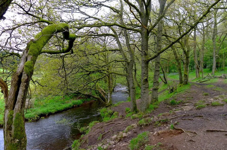
The official stage is 12 miles (19 km), with heights between 19 and 140 m. The official site describes a relatively simple start on footpaths, tracks and lanes with no major climbs. We measured 19.3 km along the mapped route with about 166 m of climbing and 155 m of descent, the highest point at 138 m about 6.9 km in. The route skirts Drymen: the village centre is 0.8 km off it, and many walkers end the day there.
Time is the usual problem. Our own arithmetic, not a forecast: 19.3 km at 4 km/h is about 4 h 50 min of walking, and at 3 km/h about 6 h 25 min, before any stops. A 10:30 start after the first Sunday train therefore finishes in the late afternoon or early evening in summer. In mid-December our daylight calculation for Tyndrum gives sunrise at 08:46 and sunset at 15:41, a day of 6 h 54 min, so a short winter day ends before a slow walker reaches Drymen; Milngavie is further south, so its day is slightly longer, but the margin is thin.
Mugdock Country Park
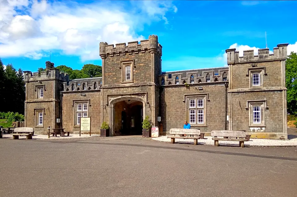
The official stage page lists Mugdock for refreshments and toilets. The council says the grounds are open all day every day with free entry, the main car park is open 9am to 6pm, the visitor centre is in the Courtyard with a gift shop and free maps, the cafes are in the Courtyard and toilets are near the main car park, the visitor centre and the play park. Walkers can join the Way at Milngavie and follow the signposts to the park.
Dumgoyne and the Beech Tree Inn
The official directory calls the Beech Tree Inn at Dumgoyne the first stop on the Way. Its own site lists a restaurant, cafe bar and shop, open Monday to Friday 10am to 3pm, Saturday 10am to 7pm and Sunday 11am to 5pm, and says it is closed from 16 November 2026 and reopens on 2 January 2027. The official stage page also lists Dumgoyach Standing Stones and Glengoyne Distillery as places of interest; we did not read the distillery’s visitor pages, so check its own site for tours and hours.
Killearn, about mile 8
Turnip the Beet, a deli and coffee shop in Killearn on “Mile 8”, is listed with hours of 9am to 5pm Monday to Saturday and 9am to 4pm on Sunday, and it is also a top-up tap. Confirm by phone, as these are listing hours.
Drymen
The Spar has a cash machine. The official stage page warns that camping and firelighting byelaws apply on leaving Drymen from 1 March to 30 September, so a tent night after the village needs a campsite or a permit. Drymen has the village guide, and where to stay in Drymen lists the beds.
Starting from Drymen, Balmaha or further north
Skipping Milngavie saves 12 miles (19 km) on the official numbers and costs you only the gentlest stage. Drymen has no railway station. The nearest rail link is Balloch, where McColl’s route 309 runs through Gartocharn and Drymen to Balmaha. Trains to Balloch leave from Queen Street Low Level Monday to Saturday, about every 30 minutes with the first at 06:43 and a journey of 47 to 55 minutes, and on Sundays from Glasgow Central Low Level, first 09:18, journey 46 to 49 minutes (timetable of 28 September to 12 December 2026). We did not capture the 309 timetable, so check McColl’s or Traveline Scotland. The Balloch guide covers the town and the Drymen and Balmaha guides cover the next two stops.
Balmaha is 30.5 km from Milngavie by our measure, and the official weekend section from Milngavie to Balmaha is 20 miles with a return by bus. Starting at Balmaha puts Conic Hill first. Further north the official site lists stations at Ardlui, Crianlarich, Tyndrum and Bridge of Orchy, plus Citylink stops at Inverarnan, Crianlarich, Tyndrum, Bridge of Orchy and Glencoe, which makes the northern half easy to join by public transport.
You can walk the Way from Fort William to Milngavie. The official site calls south to north traditional, and Travel-lite sells a reverse route for baggage at £110 on its 2026 page. The waymarks are the same thistle in a hexagon, and the official site expects you to be able to use a map and compass.
Getting home from Fort William
ScotRail’s West Highlands timetable (17 May to 12 December 2026) shows trains from Fort William to Glasgow Queen Street at 07:44, 11:40 and 17:37 on Monday to Saturday, taking 3 hours 43 minutes to 4 hours 6 minutes. On Sundays there are two, at 11:41 and 17:37. The last train leaves at 17:37, so finishing in Fort William after about 17:00 means a coach or a night in town.
Citylink’s Glasgow to Fort William timetable (October 2026 edition) has ten coaches a day each way. Southbound the first leaves Fort William at 06:00 and the last at 18:40, arriving at Glasgow Buchanan Bus Station at 21:44, with stops at Glencoe Ski Centre, Bridge of Orchy, Tyndrum, Crianlarich, Inverarnan and the Ardlui Hotel. The official site says the Ember electric bus runs from Fort William back to Edinburgh. From Kinlochleven, Shiel Buses route 44 takes about 55 minutes to Fort William, seven times a day on Monday to Saturday and four on Sundays.
If your car is in Milngavie, ride to Glasgow, then take the Low Level train back. Milngavie trains arrive until 23:51 Monday to Saturday, and on Sundays the last listed arrival in our reading is 22:30, so a Sunday 17:37 train reaching Glasgow Queen Street at 21:20 leaves only a small margin. Check the last train for your day.
The night before: Milngavie or Glasgow
A night in Milngavie turns a rushed morning into a calm one: you can reach the obelisk, the bag van and the shops on foot, and the first train problem on a Sunday disappears. Baggage Freedom names the Premier Inns at Milngavie and Bearsden as places where its team meets walkers at 7:45am to tag bags, and the official site says some hotels in Milngavie may keep a car for you, arranged in advance. For the nights after day one, accommodation, baggage and camping along the Way goes stop by stop. Glasgow is the alternative when you are flying in or arriving late.
Milngavie and the first day in photos
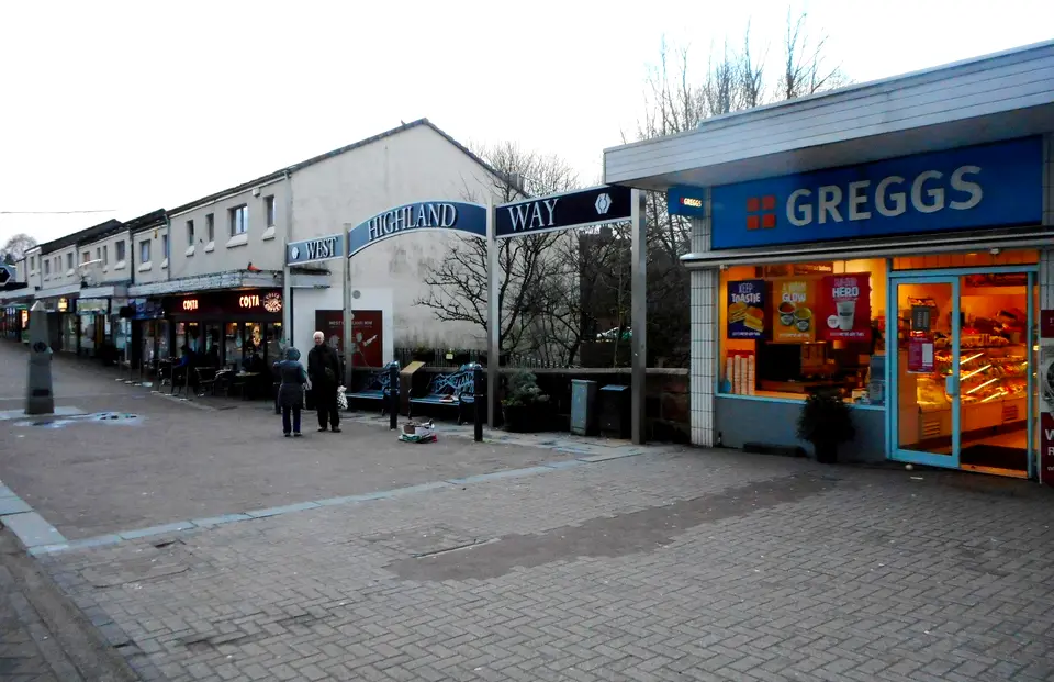

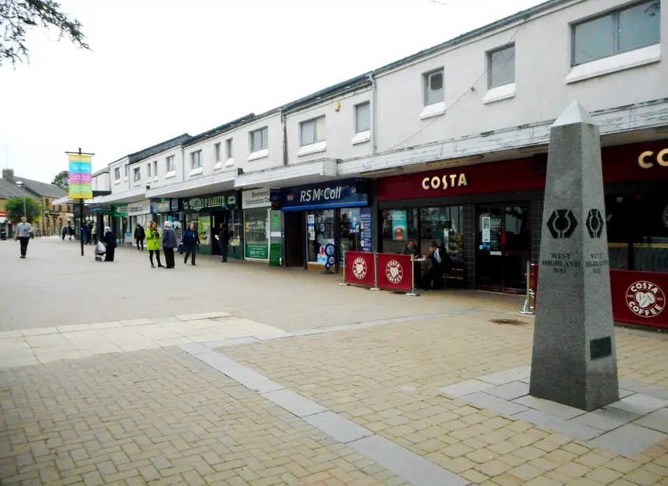

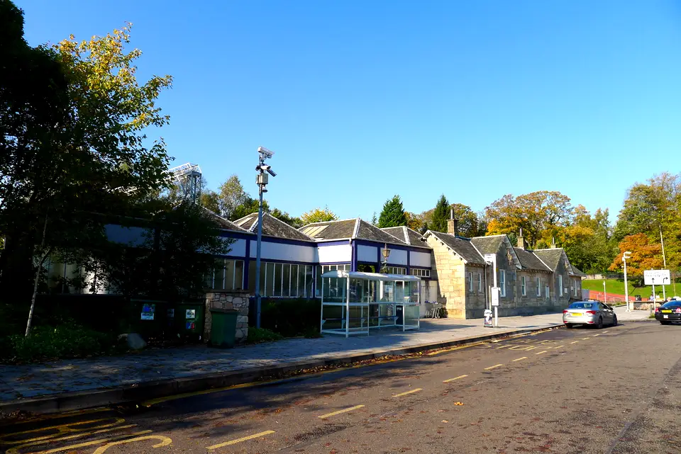





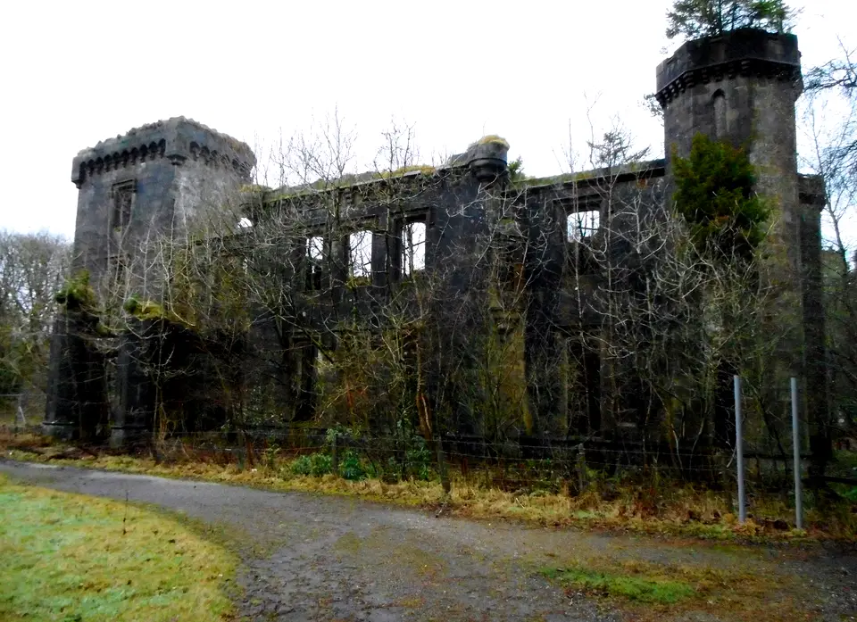

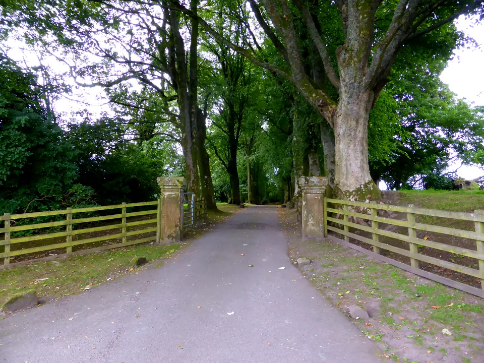

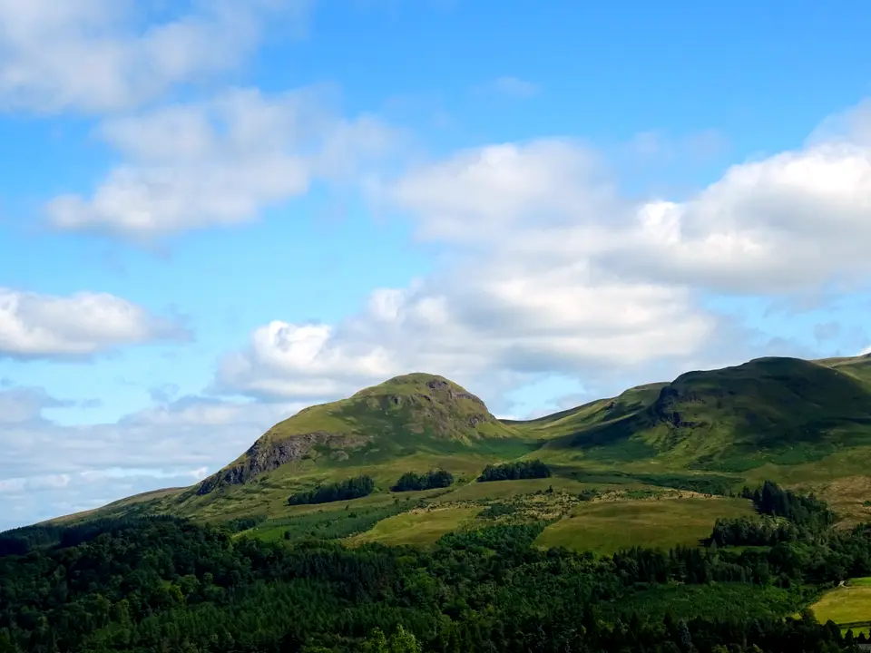

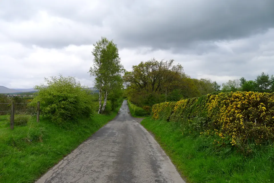

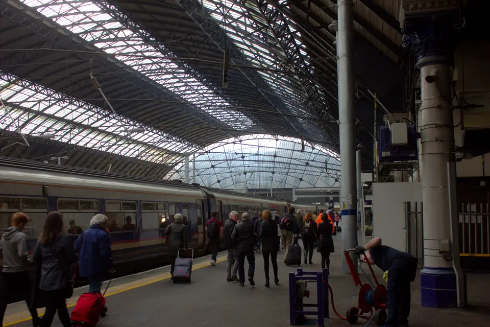

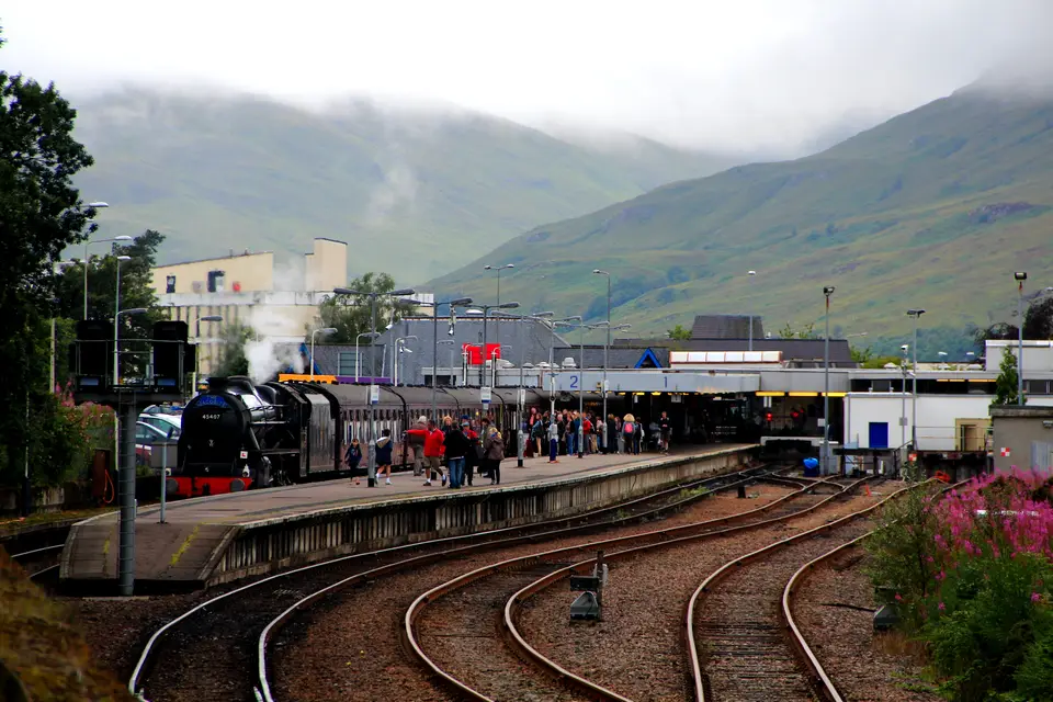

Ways to reach Milngavie
Journey times come from the operators’ timetables read on 18 November 2026. Combined door-to-door times are not published, so we give the legs.
| From | How | Journey | How often | Note |
|---|---|---|---|---|
| Glasgow city centre | ScotRail from Queen Street Low Level | 23 to 29 min | About every 30 min; first Sunday arrival 10:00 | Use the Low Level platforms, not High Level. |
| Glasgow Airport | Bus 500 to Buchanan Bus Station, walk to Queen Street, train | Bus 18 to 33 min, train 23 to 29 min | Bus every 10 min (Sunday every 12) | No direct service found. |
| Edinburgh | ScotRail to Glasgow Queen Street, then the Low Level train | 48 to 60 min, then 23 to 29 min | Every 15 to 30 min; Sunday from 08:00 | A few weekday through trains take about 1 h 35 to 1 h 40. |
| By car | A81 north from Glasgow; satnav G62 8PG for the station | Not stated | Station car park free; Douglas Street pay and display | No dedicated West Highland Way car park. |
Timetables change twice a year and for engineering work. Check ScotRail and First on the day you travel.
Day-one morning in six steps
Pick your train
Monday to Friday the first train from Glasgow reaches Milngavie at 06:45. On a Sunday the first is at 10:00, so plan a late start or a night in Milngavie.
Hand over bags
If you booked baggage transfer, be at the drop by 9am. AMS takes bags at the station until 9:30am if you did not sleep in town; Baggage Freedom closes its car park drop at 9am.
Buy gas, snacks and cash
Milngavie is the last cash machine before the Spar in Drymen and the best chance of stove fuel. Phone a shop first if you need gas.
Fill your bottles
Use the Scottish Water tap on Douglas Street. Turnip the Beet at Killearn has another about 13 km in.
Start at the obelisk
Waymarks show a thistle in a hexagon. The route is waymarked all the way, but carry a map and compass.
Fix where day one ends
Drymen is 19 km on. Book a bed there or at a farm nearby before you leave, and check the Beech Tree Inn’s winter closure if you rely on it for lunch.
Check before you travel
- Timetables: the ScotRail figures are for 28 September to 12 December 2026. A new timetable starts after that, and Sunday trains differ from weekdays.
- Notices: the official site posted on 3 November 2026 that trees were down in various places after Storm Boelo and that rangers were assessing damage. Read the notices page before you go.
- Food on day one: the Beech Tree Inn is shut from 16 November 2026 to 2 January 2027; Mugdock and Killearn are the other refreshment points before Drymen.
- Parking: neither the council nor the official site gives a maximum stay. Ask first if you will be away for a week.
- Bags: baggage transfer seasons are published per year; check the operator’s dates and the 20 kg limit.
- Finish: the last train from Fort William to Glasgow leaves at 17:37 (Sunday too), and the last Citylink coach at 18:40.
Places near the start
These guides cover the first stops beyond Milngavie, and the town where trains and the 309 bus meet.
- DrymenEnd of day one for most walkers. The parking guide for Drymen helps if you start there by car.
- BalmahaWhere the Way meets the loch after Conic Hill. Balmaha has the village guide.
- BallochThe rail head for the 309 bus. See Balloch for the town.
Planning the rest of the walk
To turn the stage lengths into a plan, read how many days to allow, and for the whole route on one page see the West Highland Way map and stages. Day two crosses Conic Hill to Balmaha and continues to Rowardennan. The east shore stage after that is covered in Rowardennan to Inverarnan, including the Drovers Inn. For arriving in the area by car, coach or bus rather than going to Milngavie, see getting to Loch Lomond. More routes in the area are in walks around Loch Lomond.
We may earn a commission on some links to Booking.com and GetYourGuide: how we earn a commission.
Stay the night before in Milngavie
Partner links: we may earn a commission
Prices and free rooms change daily, so check them for your dates.
Check hotels in Milngavie on Booking.com Compare bases around the lochQuestions people ask
Where does the West Highland Way start?
At an obelisk on Douglas Street in the centre of Milngavie, a few minutes from the railway station (postcode G62 8PG). The official site says the Way is traditionally walked south to north, ending at a statue of a walker in Gordon Square, Fort William.
Can you take a train to the start of the West Highland Way?
Yes. ScotRail trains run from Glasgow Queen Street Low Level to Milngavie in about 23 to 29 minutes, about every 30 minutes on the 28 September to 12 December 2026 timetable. On Sundays the first train from Glasgow, at 09:39, reaches Milngavie at 10:00.
How do I get from Glasgow Airport to Milngavie?
We found no direct service. Take First Bus 500 to Glasgow Buchanan Bus Station (about 18 to 33 minutes, every 10 minutes Monday to Friday), walk to Queen Street and catch the Low Level train to Milngavie.
Where can I park for the West Highland Way in Milngavie?
The official site suggests the station car park, which it calls currently free but possibly busy, or the police station car park after telling the police your plans. Douglas Street and three other council car parks are pay and display Monday to Saturday 8am to 6pm. No maximum stay is stated, so ask before leaving a car for a week.
Can you bike the West Highland Way?
Cycling is possible, according to the official FAQ, but the path between Rowardennan and Inverarnan is rocky and narrow and not suitable for bikes, and cyclists must dismount at underpasses beneath the A82 and the West Highland railway.
How far is the West Highland Way to walk?
96 miles, about 154 km, from Milngavie to Fort William, usually walked in 7 to 8 days. Day one from Milngavie to Drymen is 12 miles (19 km) on the official site.
How hard is the hike from Kinlochleven to Fort William?
It is the last stage: 15 miles (24 km) on the official site, 24.7 km by our measurement, about 521 m of climbing and 526 m of descent. The official description is a steep climb out of Kinlochleven, a rough Lairigmor and an undulating path to Glen Nevis before tarmac into Fort William, with refreshments only in Fort William.
How long does the first day take?
The first day is 19 km. Our arithmetic gives about 4 hours 50 minutes of walking at 4 km/h and about 6 hours 25 minutes at 3 km/h, before stops. We have no sourced pace, so use your own.
Can I start the West Highland Way at Drymen?
Yes. Drymen has no railway station; Balloch has trains from Glasgow, and McColl’s bus 309 runs from Balloch through Drymen to Balmaha. Starting there skips the 19 km first day.
How do I get home from Fort William?
ScotRail runs three trains a day to Glasgow Queen Street Monday to Saturday (07:44, 11:40 and 17:37) and two on Sundays (11:41 and 17:37). Citylink has ten coaches a day, the last at 18:40, and Ember runs to Edinburgh.
More on the Way
-
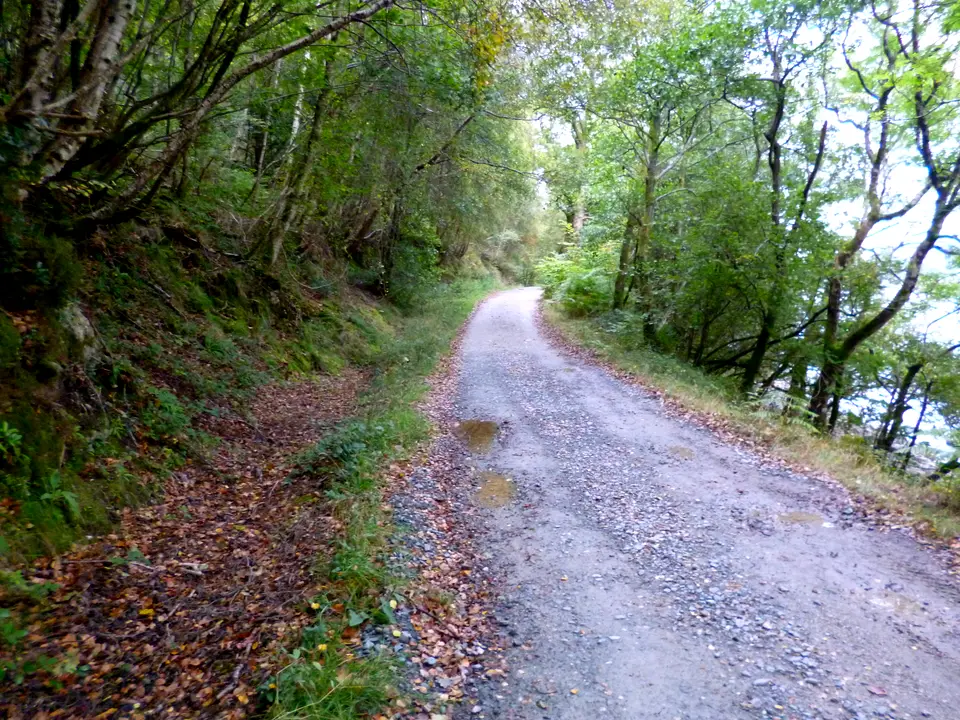
Photo: Dave Kelly, CC BY-SA 2.0, ca* -
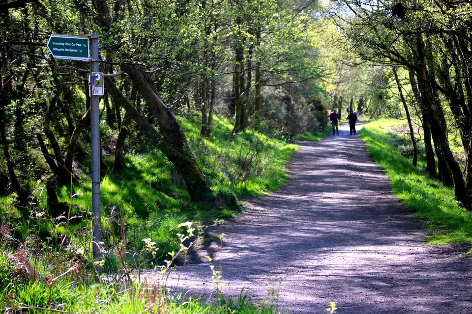
Photo: Richard Sutcliffe, CC BY-SA 2.0, ca* -
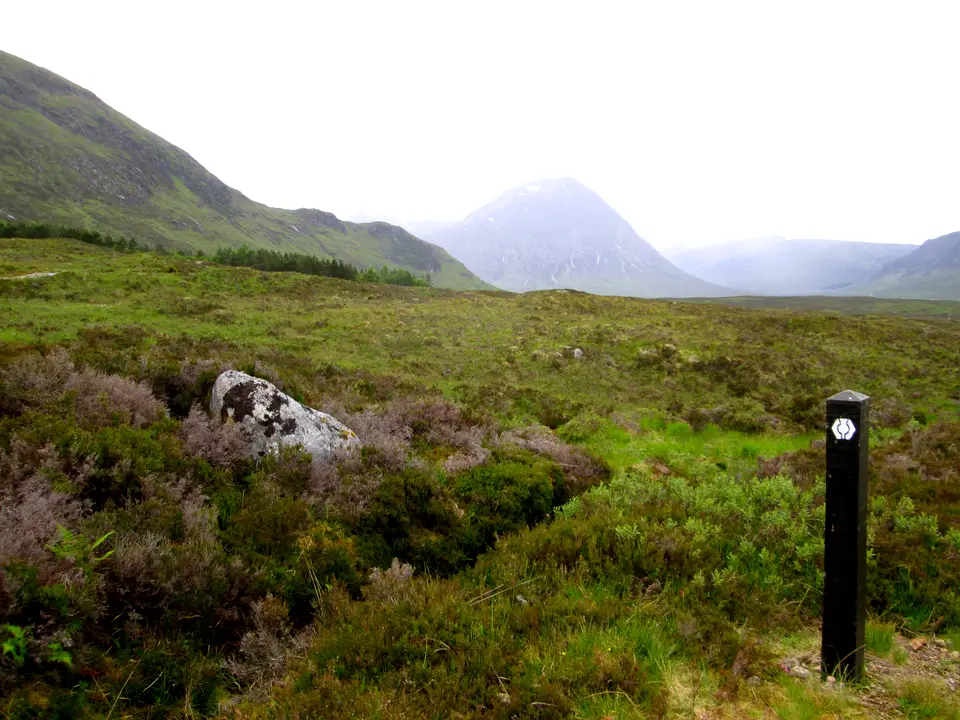
Photo: Peter S, CC BY-SA 2.0, ca* -
Photo: Chris Heaton, CC BY-SA 2.0, ca* -
Photo: Tim Heaton, CC BY-SA 2.0, ca*


