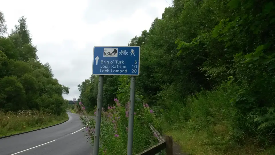

Great Trossachs Path
Long-distance path, Inversnaid to Callander
Verdict
Go if you want a beginner-friendly long-distance route through lochs and glens between Loch Lomond and Callander, on foot or by bike.
Skip if you want summits or easy logistics. Much of it is tarmac or forest track, and the Inversnaid end depends on a seasonal waterbus.
- Inversnaid. The west end, on the east shore of Loch Lomond. The waterbus from Tarbet runs seasonally.
- Stronachlachar. At the western end of Loch Katrine, with a pier cafe. Section 2 ends here.
- Trossachs Pier. The eastern end of Loch Katrine, with a cafe, a shop and a pay car park.
- Callander. The east end of the path, with car parks, shops and the bus from Stirling.
- Length
- 45 km
- Usual time
- 2–3 days
- Total ascent
- 1,165 m
- Sections
- 6
Today: 9°C and heavy rain, sunset 18:22. Check bus and waterbus times for the day you start: they matter more than crowds.
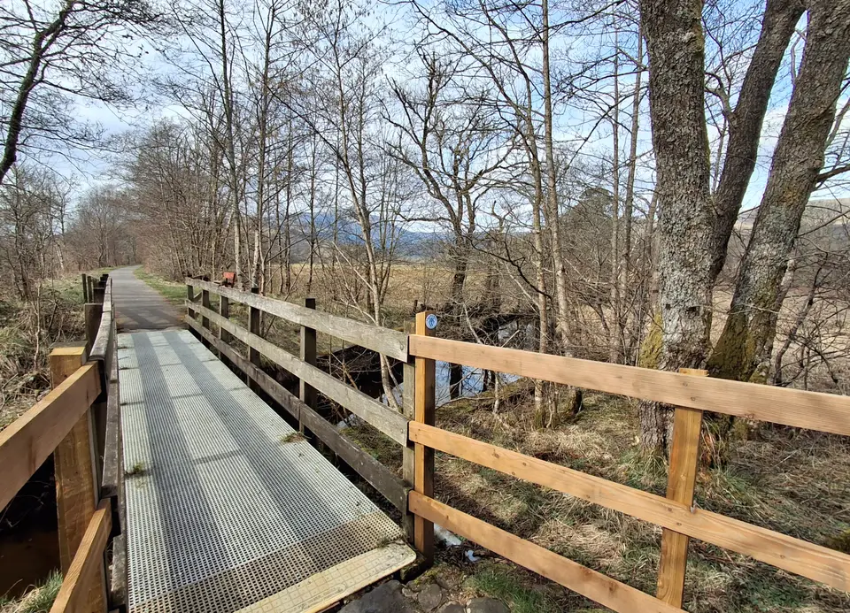
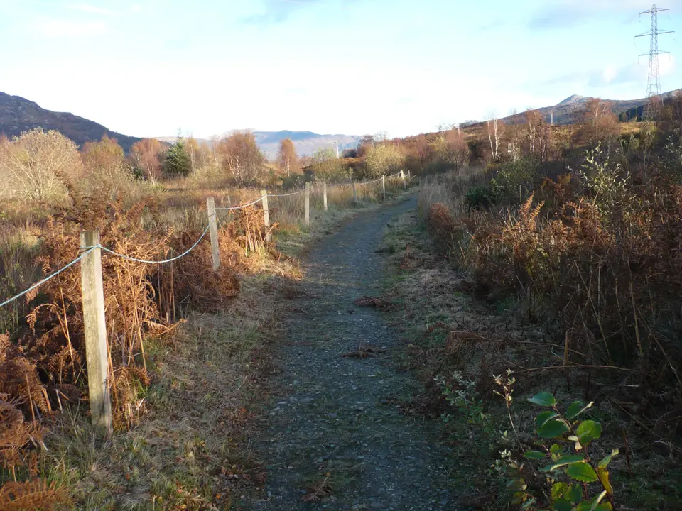
The Great Trossachs Path in photos


Is it for me?
The Great Trossachs Path is a waymarked route of about 45 km (28 miles) from Inversnaid on Loch Lomond to Callander, usually done in 2 to 3 days on foot or by bike, in either direction. It follows a quiet road beside Loch Katrine, forest tracks and an old railway line, and Scotland's Great Trails calls it suitable for beginners. The National Park rounds the length to 30 miles. Start with Callander and its car parks or Callander parking prices and busy times, and check when to go for your month.
- Beginners
- Yes. Scotland's Great Trails calls it suitable for beginners, with fairly few steep sections. It is still about 45 km, so split it across 2 to 3 days.
- Children
- Suits children used to long days on a flat road, such as the Loch Katrine stretch. Pick one section and check the transport back.
- Dogs
- The route pages we read give no dog rule. Keep dogs on a lead near livestock and follow local signs.
- Cycling
- Allowed, and the route links to National Cycle Network route 7. Expect steep sections between Brig o' Turk and Callander.
- Buggies
- Parts are smooth tarmac beside Loch Katrine, but we have no surface report for the rest. Check before you bring a buggy.
- Terrain
- A mix of woodland trails and tarmac. The Loch Katrine stretch is a single-track private road, and the Inversnaid to Stronachlachar section crosses open hillside.
- Navigation
- The route is signed, but carry a map and check each junction, because other routes share parts of it.
Great Trossachs Path or Trossachs Trail?
They are different things. The Great Trossachs Path is the hiking and cycling route on this page. OpenStreetMap maps the Trossachs Trail as a road route for drivers, so searches for one often bring up the other.
Map of the route
- Inversnaid. The west end, on the east shore of Loch Lomond. The waterbus from Tarbet runs seasonally.
- Stronachlachar. At the western end of Loch Katrine, with a pier cafe. Section 2 ends here.
- Trossachs Pier. The eastern end of Loch Katrine, with a cafe, a shop and a pay car park.
- Callander. The east end of the path, with car parks, shops and the bus from Stirling.
Map © OpenStreetMap contributors. Open in maps
The route, section by section
-
Inversnaid Pier
Start at Inversnaid on the east shore, where the Cruise Loch Lomond waterbus calls. Section 1 runs 1.2 miles (2 km) past the Arklet falls to the RSPB Inversnaid visitor gateway.
-
RSPB Inversnaid
Section 2 climbs open hillside to Stronachlachar. It is 3.8 miles (6 km) and steep in places, and there is one short muddy section.
-
Stronachlachar
A pier cafe and motorhome pitches at the west end of Loch Katrine. Section 3 is 12.4 miles (20 km) on a single-track private tarmac road beside the loch.
-
Trossachs Pier
At the east end of Loch Katrine, with a cafe, a shop, bike hire and a pay car park. For the loch itself, see Loch Katrine and the steamship.
-
Glen Finglas Visitor Gateway
Section 4 is 6 miles (9.7 km) by Loch Achray and Brig o' Turk. Camping between Brig o' Turk and south Loch Achray is only in pre-booked designated areas from March to October.
-
Kilmahog
Section 5 is 5.4 miles (8.6 km) along Loch Venachar. See Loch Venachar and what to know if you want to stop at the water.
-
Callander
Section 6 is 1.2 miles (2 km) on an old railway line into Callander. The sections total about 48 km, which is the National Park's figure; Scotland's Great Trails gives 45 km.
Parking & getting there
Callander car parks (Stirling Council)
- Where
- Callander town centre, at the east end of the path. Check the signs for the nearest car park.
- Price
- 2 hours £3; 4 hours £4; all day £6. Check the machine.
- Hours
- Pay and display Monday to Sunday 8:45am to 5pm
- Toilets
- Station Road, 8am to 6pm, 7 days a week, with accessible toilets and baby changing
- Inversnaid end
- The council-run Inversnaid Hotel car park has about 40 spaces and RSPB Garrison Farm has 7. Neither is confirmed for overnight stays.
Last checked 13 Oct 2026
Car-free
Callander: regular buses run from Stirling, and the Trossachs Explorer was relaunched on 29 June 2026 with 4 return journeys a day between Aberfoyle and Callander all year. Inversnaid: take a train or bus to Tarbet, then the Cruise Loch Lomond waterbus, which runs seasonally from April to October. Crossings from Tarbet run on limited days (Tarbet to Rowardennan, for example, runs at weekends only), so check the times. For the wider picture, see getting to Loch Lomond.
When it is busy
Editorial estimate of a typical summer day at the Callander end and by Loch Katrine. These are not measured counts.
| Day | 8:00 | 9:00 | 10:00 | 11:00 | 12:00 | 13:00 | 14:00 | 15:00 | 16:00 |
|---|---|---|---|---|---|---|---|---|---|
| Weekday | Quiet | Quiet | Quiet | Quiet | Steady | Steady | Steady | Quiet | Quiet |
| Saturday | Quiet | Quiet | Quiet | Steady | Steady | Steady | Steady | Quiet | Quiet |
| Sunday | Quiet | Quiet | Quiet | Steady | Steady | Steady | Steady | Quiet | Quiet |
Q QuietS SteadyB BusyF Car park full
Tip: you will have the Inversnaid to Stronachlachar section quiet. Busy points are Trossachs Pier on a fine day and Callander's car parks.
Call it off if
- Heavy rain or low cloud is forecast: the Inversnaid to Stronachlachar section crosses open hillside and is steep in places.
- The last waterbus or bus for your end of the route is close, or runs only on certain days: check before you set off.
- You are on a bike and the Brig o' Turk to Callander climbs look too steep for your legs or your load.
- You have not booked a camping area for the zone between Brig o' Turk and south Loch Achray, which is pre-booked only from March to October.
- It is getting late and you are still on the Loch Katrine road with no cafe or shelter open ahead.
Make a day of it
One section
A day walk
- Morning Pick a section. Section 3 along Loch Katrine is 12.4 miles (20 km) of tarmac and the easiest to plan.
- Afternoon Ride the steamship one way: in 2026 it sailed 27 March to 25 October, and the Trossachs Pier to Stronachlachar sailing took 2 hours. Details in the steamship on Loch Katrine.
Whole path
2 to 3 days
- Day 1 Inversnaid to Trossachs Pier, sections 1 to 3, about 28 km. Add a night at Loch Katrine, where Trossachs Pier has lodges and motorhome pitches, to make it a three-day trip.
- Day 2 Trossachs Pier to Callander, sections 4 to 6, about 20 km. See Ben Ledi route and parking or Bracklinn Falls walk for a second day out from Callander.
By bike
Flat then steep
- Loch Katrine The road is smooth with little car traffic, a little under 14 miles from Trossachs Pier to Stronachlachar. For other routes, see cycling around Loch Lomond.
- Callander end Expect steep sections between Brig o' Turk and Callander.
Where to stay near the path
Partner links: we may earn a commission
Questions people ask
Can you cycle the Three Lochs Way?
Yes, cycling is permitted on the Three Lochs Way, although some steep sections may need to be walked. The Great Trossachs Path is also open to cyclists.
What are some fun things to do in the Trossachs National Park in Scotland?
Walk or cycle the Great Trossachs Path, ride the steamship on Loch Katrine, or climb Ben Ledi. For more, browse the Trossachs.
How long is the Great Trossachs Path?
About 45 km (28 miles) according to Scotland's Great Trails, and 30 miles according to the National Park. The six sections add up to about 48 km, so allow for both figures.
Where does the Great Trossachs Path start and end?
It runs between Inversnaid on Loch Lomond in the west and Callander in the east. You can walk or cycle it in either direction.
How long does the Great Trossachs Path take?
Scotland's Great Trails gives 2 to 3 days, with 1,165 m of climbing in total.
Can I camp on the Great Trossachs Path?
There are no designated campsites on the path. Wild camping is allowed outside the management zones, and between Brig o' Turk and south Loch Achray it is only in pre-booked designated areas from March to October. Read the camping and motorhome rules first.
How do I get to Inversnaid without a car?
Take a train or bus to Tarbet, then the Cruise Loch Lomond waterbus across to Inversnaid. It runs seasonally from April to October, so check the times.
Is it the same as the Trossachs Trail?
No. The Trossachs Trail is mapped as a road route for drivers; the Great Trossachs Path is a hiking and cycling route.
Nearby
- CallanderBen LediA 10 km hill walk from the A84, with its own guide.
- CallanderBracklinn FallsA short walk or a 2 hour circuit from Callander.
- TrossachsLoch KatrineThe steamship and the lochside road.
- All walksWalks around Loch LomondHill and lochside routes compared.
- Loch LomondThree Lochs WayThe other long route near the loch, from Balloch to Inveruglas.