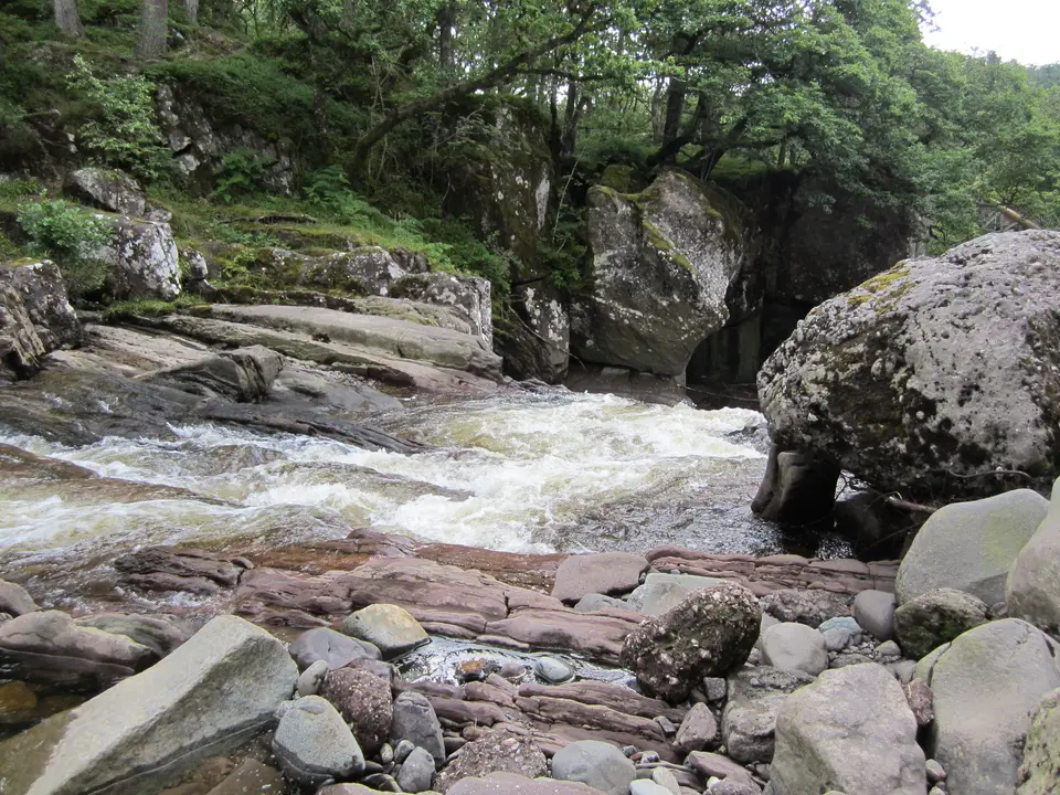

Bracklinn Falls, Callander
Waterfall circuit on the edge of Callander
Verdict
Go for a waterfall and a gorge on Callander's doorstep, on a mid-level path with a footbridge above the falls.
Skip if the river is in spate, or you cannot keep children away from the edge near the falls.
- Bracklinn Falls car park. The start, on Bracklinn Road just north of Callander town centre. We found no charge: read the signs.
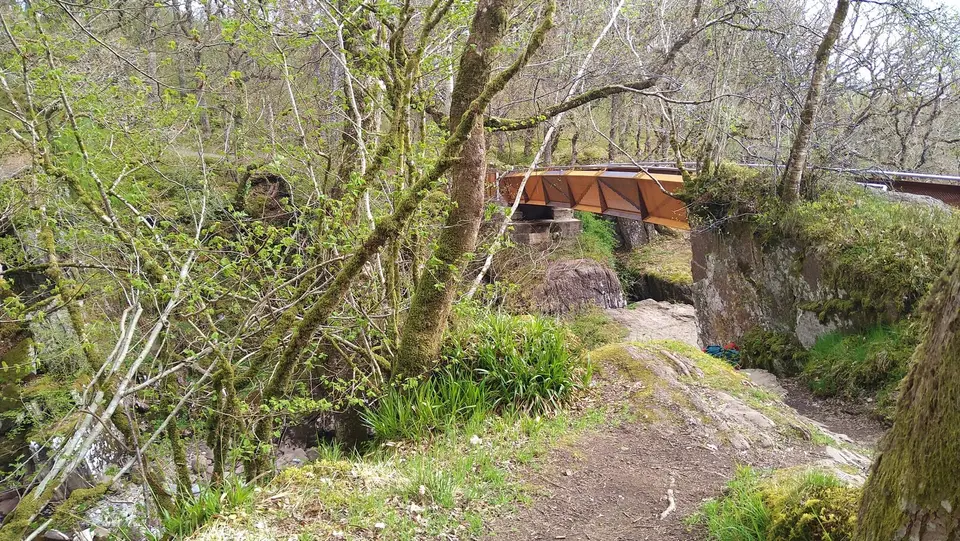
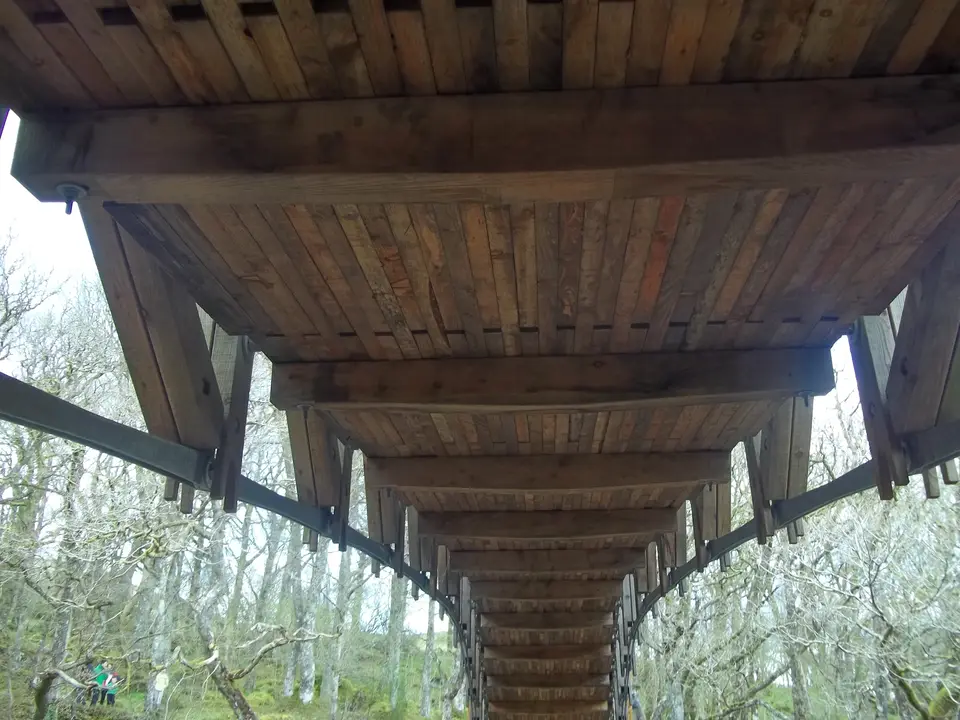
- Bracklinn Bridge. A 20 m footbridge with an A-shaped roof, installed in 2010, above the falls and gorge.
- Second bridge. A second bridge over the Keltie Water. The Scout Pool is about 200 m below it.
- Circuit distance
- 5.3 km
- Time for the circuit
- 2–2.5 h
- Grade
- Moderate
- Short walk to the falls and back
- ½ mile
Today: 11°C and showers, sunset 18:20. Fine weekends are the busiest. Go early or on a weekday.
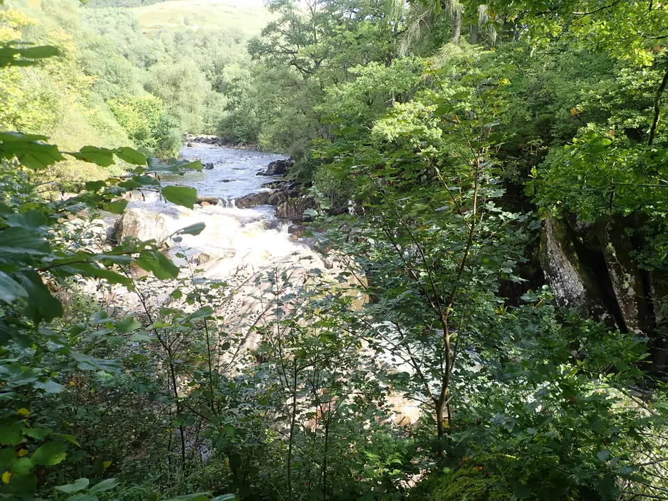
Bracklinn Falls in photos



Is it for me?
Bracklinn Falls, Callander, is a circuit of 5.3 km (3.5 miles) that takes 2 to 2.5 hours, graded moderate by the National Park, on a well-compacted path with some loose material. It starts at the car park just north of Callander town centre, crosses a 20 m footbridge above the falls, then returns by a forest road and a minor road. If you only want the falls, they are about half a mile from the car park, there and back by the same path. Check the weather and daylight by month before you set out.
- Beginners
- Yes: the National Park grades it moderate, on a well-compacted path with some loose material. Allow 2 to 2.5 hours for the circuit.
- Children
- Take care: the National Park warns of steep drops and deep water near the falls, so keep children close. The short walk to the bridge is the easier option for small legs.
- Dogs
- We found no dog rules on the pages we read. Keep dogs close near the gorge edge and follow any signs.
- Buggies
- Not suited to buggies: the circuit has a steeper climb to the forest road, and the surface has loose material. We have no data on the short walk.
- Terrain
- A well-compacted path with some loose material, waymarked, with a steeper section after the bridge and a forest road.
- Phone signal
- Mobile signal may be unavailable on the route, so download your map first.
Map of the circuit
- Bracklinn Falls car park. The start, on Bracklinn Road just north of Callander town centre. We found no charge: read the signs.
- Bracklinn Bridge. A 20 m footbridge with an A-shaped roof, installed in 2010, above the falls and gorge.
- Second bridge. A second bridge over the Keltie Water. The Scout Pool is about 200 m below it.
Map © OpenStreetMap contributors. Open in maps
The route, step by step
-
The car park
Start at Bracklinn Falls car park, just north of Callander town centre, and follow the waymarked route.
-
Downhill to the gorge
The path slopes gradually downhill, and you can hear the falls through the trees. Near the Keltie Water, take the hairpin bend and descend slowly to the bridge.
-
Bracklinn Bridge
The 20 m bridge has an A-shaped roof and a view up and down the gorge. The stones in the gorge are continually on the move. Keep children close.
-
Across and up
Across the bridge, turn left and climb the steeper section of path to the forest road.
-
The forest road
Follow the forest road through the trees. Where it opens out, high above the river, you can see Ben Ledi, Stuc a' Chroin and Ben Vorlich north of the Highland Boundary Fault.
-
Second bridge and Scout Pool
The Scout Pool is about 200 m below a second bridge over the Keltie Water, reached by a rough path along the edge of the gorge. Cross the bridge and climb to the minor road.
-
The minor road home
Turn left on the minor road and walk back to the car park through the countryside above Callander.
Parking & getting there
Bracklinn Falls car park, Bracklinn Road
- Where
- Bracklinn Road, north of Callander town centre. Two car parks: one about a quarter of a mile up the road on the left, and the Bracklinn Falls car park further up a steep hill on the right.
- Operator
- Not stated on the pages we read
- Price
- We found no charge or postcode. Read the signs and the machine on the day.
- Distance to the falls
- The falls are about half a mile from the Bracklinn Falls car park, by the same path back.
- Busy times
- Arrive early on a fine weekend. Full details of Callander's car parks are in the Callander parking guide.
Last checked 13 Oct 2026
Car-free
You can walk it from town: from the east end of Callander, Bracklinn Road runs up about a quarter of a mile to the first car park, and a steep hill leads on to the Bracklinn Falls car park. For the wider picture, see travel from Glasgow and Edinburgh.
When it is busy
Editorial estimate of a typical summer day, on the path and at the bridge. These are not measured counts.
| Day | 8:00 | 9:00 | 10:00 | 11:00 | 12:00 | 13:00 | 14:00 | 15:00 | 16:00 |
|---|---|---|---|---|---|---|---|---|---|
| Weekday | Quiet | Quiet | Steady | Steady | Steady | Steady | Steady | Steady | Quiet |
| Saturday | Quiet | Steady | Busy | Busy | Busy | Busy | Busy | Busy | Steady |
| Sunday | Quiet | Steady | Busy | Busy | Busy | Busy | Busy | Steady | Quiet |
Q QuietS SteadyB BusyF Car park full
Tip: go early, or on a weekday, when you can have the bridge to yourself.
Call it off if
- Heavy rain has the path wet and the gorge edges slippery: stay back from the drops.
- You cannot keep children close: the National Park warns of steep drops and deep water near the falls.
- It is late in the day: allow 2 to 2.5 hours for the circuit and keep daylight to spare.
- You have no map and no signal: mobile signal may be unavailable on the route.
Make a day of it
Morning
The circuit
- Early Park on Bracklinn Road and set off for the bridge.
- +2–2.5 h Back at the car park after the 2 to 2.5 hours the circuit takes.
Midday
The crags
- Midday The Callander Crags walk starts from the same road: a circuit of about 4 km to a cairn at 343 m.
- Town Back down in town for food and a rest.
Afternoon
By the water
- Afternoon Drive out to Loch Venachar, or pick a hill: Ben Ledi is the big one on the other side of town.
- Evening For a longer route through the area, the Great Trossachs Path has its own guide.
Where to stay near Bracklinn Falls
Partner links: we may earn a commission
Questions people ask
How far is Bracklinn Falls from the car park?
About half a mile from the Bracklinn Falls car park, and the same back by the same path. The full circuit is 5.3 km.
How long does the Bracklinn Falls walk take?
Allow 2 to 2.5 hours for the 5.3 km circuit. The short walk to the falls and back is much quicker.
Is the Bracklinn Falls walk hard?
The National Park grades it moderate: a well-compacted path with some loose material, with a steeper section after the bridge.
Where do I park for Bracklinn Falls?
On Bracklinn Road, north of Callander town centre. There is a car park about a quarter of a mile up the road on the left, and the Bracklinn Falls car park further up a steep hill on the right. We found no charge, so read the signs.
Is there a bridge at Bracklinn Falls?
Yes. Bracklinn Bridge is a 20 m footbridge with an A-shaped roof, installed in 2010, with a view up and down the gorge. The circuit crosses a second bridge over the Keltie Water later.
Can I walk to Bracklinn Falls from Callander?
Yes. From the east end of Callander, Bracklinn Road runs up about a quarter of a mile to the first car park, and a steep hill leads on to the Bracklinn Falls car park.
Is Bracklinn Falls safe for children?
Take care. The National Park warns of steep drops and deep water near the falls, so keep children close.
Are dogs allowed at Bracklinn Falls?
We found no dog rules on the pages we read. Keep dogs close near the gorge and follow any signs.
Where can I stay near Bracklinn Falls?
Callander is the nearest town. Browse Callander accommodation for the options.
Nearby
- Near CallanderBen LediThe big hill above Callander, with its own route guide.
- Long routeGreat Trossachs PathA long route through the Trossachs, with its own guide.
- A short driveLoch VenacharA loch west of Callander.
- All walksMore walks around the lochEvery walk guide on the site, with distances and times.
- Nearest townCallanderThe town for food, beds and the area's other walks.