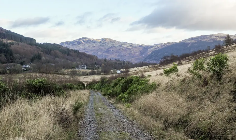

Three Lochs Way
Long-distance path, Balloch to Inveruglas
Verdict
Go if you want a long lochside route with fewer people than the West Highland Way.
Skip if you want easy logistics. The sections are long and pass quiet country, so plan transport and beds ahead.
- Balloch. The south end of the route, at the foot of Loch Lomond.
- Helensburgh. The end of the first section, on the Firth of Clyde shore beside the Gare Loch.
- Garelochhead. The head of the Gare Loch. The route stays off Defence Estate land to the north.
- Arrochar. At the head of Loch Long, with a station and a car park.
- Inveruglas. The end of the route, on the west shore of Loch Lomond.
- Length
- 50 km
- Usual time
- 3–4 days
- Rarely above
- 250 m
- Sections
- 4
Quieter than the West Highland Way, but check bus times for the end of each day.
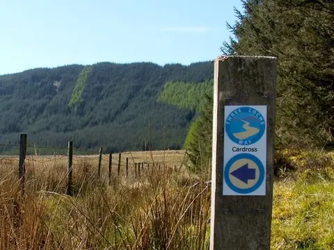
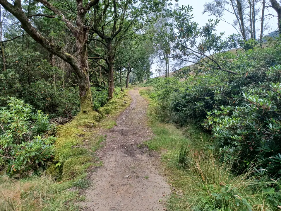
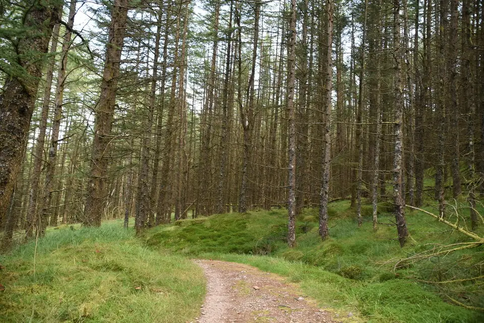
The Three Lochs Way in photos



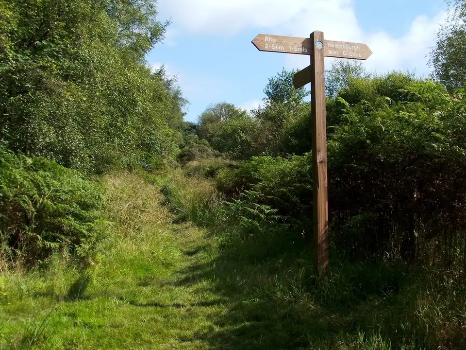

Is it for me?
The Three Lochs Way is a 50 km (31 mile) waymarked path from Balloch to Inveruglas that links Loch Lomond, the Gare Loch and Loch Long, usually walked in 3 to 4 days. It is a quieter alternative to the West Highland Way. It does not pass Luss, but Luss is the nearest big village down the west shore, with a guide to arriving by car in Luss and hotels and B&Bs. Check when to visit for your month.
- Beginners
- Possible, with planning. It is 50 km over 3 to 4 days and rarely rises above 250 m, but it is long and quiet. Try one section first.
- Children
- Suits children who are used to long walks. Pick a section and check transport for the return.
- Dogs
- Dogs are allowed. Keep them on a lead where there is livestock, most notably on the moorland north of Helensburgh and in Glen Fruin.
- Cycling
- Cycling is permitted, although some steep sections may need to be walked.
- Buggies
- Not suited to buggies or wheelchairs: parts are rough path and moorland.
- Terrain
- A mix of paths, tracks and moorland between the lochs, rarely above 250 m.
- Navigation
- The route is waymarked, with a route map and multi-use notes on the official website. Carry a map as well.
Map of the route
- Balloch. The south end of the route, at the foot of Loch Lomond.
- Helensburgh. The end of the first section, on the Firth of Clyde shore beside the Gare Loch.
- Garelochhead. The head of the Gare Loch. The route stays off Defence Estate land to the north.
- Arrochar. At the head of Loch Long, with a station and a car park.
- Inveruglas. The end of the route, on the west shore of Loch Lomond.
Map © OpenStreetMap contributors. Open in maps
The route, section by section
-
Balloch
Start at Balloch, where the River Leven leaves Loch Lomond. Section 1 runs to Helensburgh.
-
Helensburgh
Section 2 runs on to Garelochhead along the Gare Loch. The moorland north of Helensburgh and Glen Fruin have livestock, so keep dogs on a lead.
-
Garelochhead
Section 3 goes on to Arrochar. Stay off Defence Estate land between Garelochhead and Glen Douglas, an active military training area.
-
Arrochar
At the head of Loch Long, with a station and car park. Plan a night or a rest at Arrochar before the last section.
-
Inveruglas
The last section runs from Arrochar to Inveruglas, passing the village of Tarbet and ending on Loch Lomond. The mapped line measures longer than the published 50 km because of how the route is traced.
Parking & getting there
Arrochar Glenloin car park (Argyll and Bute Council)
- Where
- Arrochar, at the head of Loch Long. Postcode G83 7AL; 58 spaces
- Operator
- Argyll and Bute Council, pay and display
- Price
- £1.20 per hour; £10.30 per day. Check the machine.
- Hours
- Pay and display Monday to Sunday 9am to 6pm. Overnight and motorhome parking is not allowed.
- Luss
- For a base further down the west shore, see Luss parking and fill times.
Last checked 12 Oct 2026
Car-free
Trains: ScotRail runs direct from Glasgow to Balloch (about two trains an hour), and the West Highland line stops at Arrochar and Tarbet. Buses: 306 runs Balloch to Helensburgh, 302 runs Helensburgh to Carrick Castle via Luss, Tarbet and Arrochar, and Citylink and Ember coaches run north and south along the A82. There is bus or train access at Balloch, Helensburgh, Garelochhead, Arrochar, Tarbet and Inveruglas, so you can walk one section and ride back. Check Traveline Scotland on the day. For the wider picture, see getting to Loch Lomond.
When it is busy
Editorial estimate of a typical summer day on the route and at the Arrochar car park. These are not measured counts.
| Day | 8:00 | 9:00 | 10:00 | 11:00 | 12:00 | 13:00 | 14:00 | 15:00 | 16:00 |
|---|---|---|---|---|---|---|---|---|---|
| Weekday | Quiet | Quiet | Quiet | Quiet | Quiet | Quiet | Quiet | Quiet | Quiet |
| Saturday | Quiet | Quiet | Steady | Steady | Steady | Steady | Steady | Steady | Quiet |
| Sunday | Quiet | Quiet | Steady | Steady | Steady | Steady | Steady | Steady | Quiet |
Q QuietS SteadyB BusyF Car park full
Tip: you will find it quiet most of the time. Busy points are the villages and the Arrochar car park on a fine weekend.
Call it off if
- It has rained hard: the moorland and forest tracks are wet and slow.
- Strong wind or low cloud is forecast on the high moorland sections.
- It is late in the day and the last bus or train from the next village is close: check the times before you set off.
- You have not booked a bed or planned where to camp.
- You are about to enter Defence Estate land between Garelochhead and Glen Douglas: stay on the route and off the estate.
Make a day of it
One section
A day walk
- Morning Pick one of the four sections, and park or arrive by train at one end.
- Afternoon Ride the train or bus back to your car. For a day with water and a pier, see a day at Luss Pier.
Whole route
3 to 4 days
- Days 1 to 2 Balloch to Helensburgh, then on to Garelochhead.
- Days 3 to 4 Garelochhead to Arrochar, then Arrochar to Inveruglas.
Camping
If you bring a tent
- Before you go Choose a secluded site away from the path, light no fires and keep away from houses. Read the camping and motorhome rules too.
- On the route Stay off Defence Estate land between Garelochhead and Glen Douglas.
Where to stay near the route
Partner links: we may earn a commission
Questions people ask
What are some good walk routes in Scotland?
For a long, quiet one, try the Three Lochs Way. For a bigger name, the West Highland Way runs 154 km from Milngavie to Fort William. For a day, see our walks around Loch Lomond.
Can you cycle the Three Lochs Way?
Yes. Cycling is permitted, although some steep sections may need to be walked. For other routes, see cycling around Loch Lomond.
How long is the Three Lochs Way?
About 50 km (31 miles), or 3 to 4 days on foot. A line traced on a map can measure longer, at about 54 km, depending on the route variants.
Where does the Three Lochs Way go?
From Balloch by Helensburgh, Garelochhead and Arrochar to Inveruglas, in four sections, linking Loch Lomond, the Gare Loch and Loch Long. It passes Tarbet, too.
What is the prettiest part of Loch Lomond?
That is a matter of taste. As an editorial opinion, the loch is at its best along the north and west shores near Arrochar and Tarbet, where the hills close in. For other places, browse the towns and villages around the loch.
How hard is the Conic Hill to climb?
Moderate. Conic Hill is a 4 km walk of 2 to 3 hours with about 350 m of climbing, on the West Highland Way rather than the Three Lochs Way. The path is good, with steps.
Can I camp on the Three Lochs Way?
Yes, with guidelines: choose secluded sites away from the path, light no fires, and stay off Defence Estate land between Garelochhead and Glen Douglas.
Can I take a dog on the Three Lochs Way?
Yes. Keep your dog on a lead where there is livestock, especially on the moorland north of Helensburgh and in Glen Fruin.
How do I get back at the end of a section?
Use the bus or train. There is access at Balloch, Helensburgh, Garelochhead, Arrochar, Tarbet and Inveruglas, and long-distance coaches run along the A82. Check the last journey on Traveline Scotland.
Nearby
- Another walkLoch Lomond Faerie TrailA gentler walk on Loch Lomond, with its own route guide.
- A day on a hillConic HillA 4 km walk of 2 to 3 hours from Balmaha, on the West Highland Way.
- The bigger routeWest Highland WayThe 154 km long-distance path from Milngavie to Fort William.
- Above Loch LomondBen LomondThe most southerly Munro: 12 km, 4.5 to 5.5 hours, from Rowardennan.