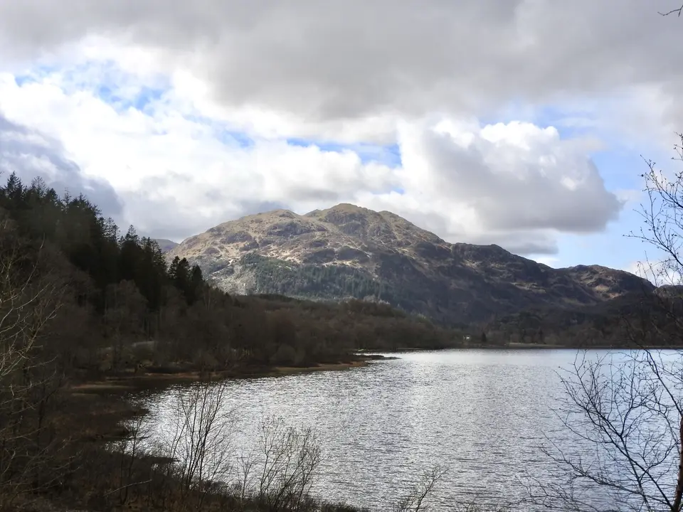

Ben Venue
Hill walk from Loch Achray, in the Trossachs
Verdict
Go for a Trossachs summit with a view over Loch Katrine, if you are happy with boggy and rocky ground higher up. Pick a clear day.
Skip if the hill is in cloud, the ground is saturated or you want an easy outing. The 15-minute Creag Noran trail starts nearby.
- Ben Venue car park. The start. Forestry and Land Scotland, on the A821 beside Loch Achray. Pay on site; £5 all day.
- Ben Venue, 729 m. Twin summits. The west summit is the higher at 729 m on the Ordnance Survey map.
- Distance
- c. 14 km
- Time
- 5–6 h
- Ascent
- 725 m
- All day
- £5
Today: 11°C and showers, sunset 18:21. Fine weekends are busiest. Start early.
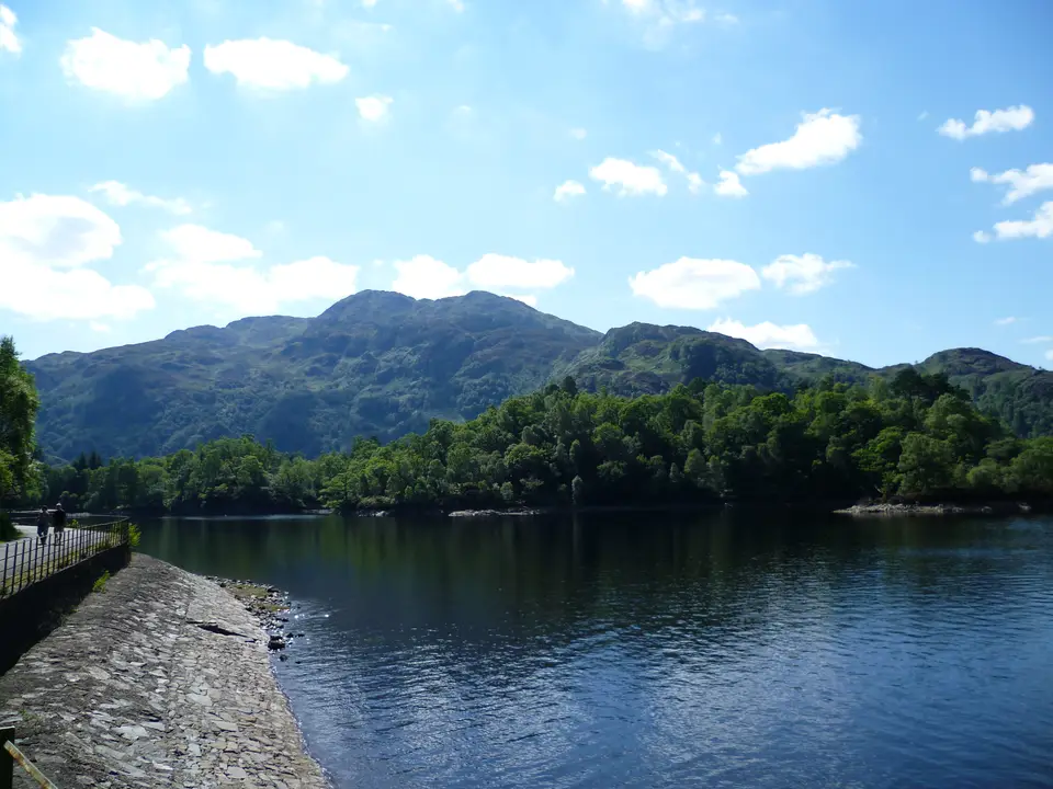
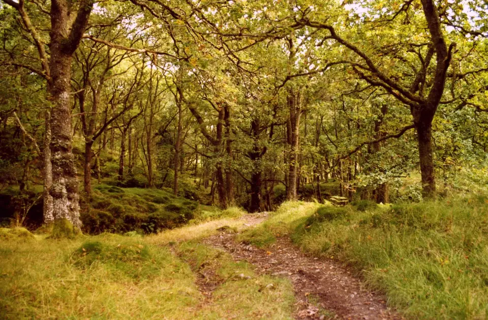
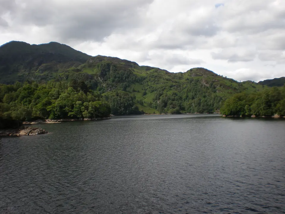
Ben Venue in photos



Is it for me?
Ben Venue is a hill walk of about 14 km of 5 to 6 hours with about 725 m of climbing, and its twin summits reach 729 m. It starts at the Ben Venue car park on the A821 beside Loch Achray, which charges £5 for the day. The nearest town the forestry directions name is Aberfoyle. Ben Venue is far below Munro height, but the walk is still a proper hill day. Route figures here come from Walkhighlands because the park and forestry pages give none for the summit route. Check the best months to come before you plan.
- Beginners
- Not a first hill. The forest tracks are easy, but the ground above the col is boggy and rocky, and the day is 5 to 6 hours.
- Children
- Suits children who are used to long hill days. There is 725 m of climbing and boggy ground. The 15-minute Creag Noran trail suits younger legs.
- Dogs
- Most of the land is Forestry and Land Scotland, with no stalking issues reported. No dog rules are published for the hill, so keep dogs close.
- Buggies
- Not suited to buggies or wheelchairs on the hill. The Creag Noran trail is an uneven gravel path, so it is not suited either.
- Terrain
- Good forest tracks and path to the col, then a final rocky path to the summits. It is boggy higher up (bog factor 4 out of 5).
- Navigation
- The path forks at the large cairn on the col. Turn right for Ben Venue. In cloud, stay on the main path and turn back if you lose it.
Map of the walk
- Ben Venue car park. The start. Forestry and Land Scotland, on the A821 beside Loch Achray. Pay on site; £5 all day.
- Ben Venue, 729 m. Twin summits. The west summit is the higher at 729 m on the Ordnance Survey map.
Map © OpenStreetMap contributors. Open in maps
Ben Venue summit weather
This is the forecast for the top of Ben Venue at 729 m, not for Ben Venue car park (Forestry and Land Scotland). Air cools by about 6.5°C for every 1,000 m you climb, so the summit is usually around 5°C colder than the loch shore, and the wind is often two or three times stronger. "Feels like" adds the wind chill. If the cloud base is below the summit you will walk in cloud, so take a map and compass.
| When | Weather | Temperature | Feels like | Wind | Summit in cloud |
|---|---|---|---|---|---|
| Today 12:00 | heavy rain | 7°C | 4°C | SW 12 mph | possible |
| Today 15:00 | heavy showers | 7°C | 3°C | SW 16 mph | unlikely |
| Tomorrow 09:00 | light rain | 7°C | 3°C | S 13 mph | possible |
| Tomorrow 12:00 | light rain | 8°C | 5°C | SW 17 mph | likely |
| Tomorrow 15:00 | rain | 10°C | 6°C | S 19 mph | possible |
| Thursday 09:00 | cloudy | 7°C | 4°C | W 8 mph | unlikely |
| Thursday 12:00 | cloudy | 7°C | 4°C | SW 10 mph | unlikely |
| Thursday 15:00 | cloudy | 8°C | 5°C | SW 10 mph | unlikely |
Freezing level, midday estimate. Today: about 1,800 m. Tomorrow: about 2,000 m. Thursday: about 1,850 m.
Forecast for 729 m from MET Norway (yr.no), CC BY 4.0, with wind chill and freezing level worked out by us. Updated Tue 13 Oct, 10:30.
For a full mountain forecast, including the chance of cloud-free summits, see the MWIS Southern Highlands forecast.
The route, step by step
-
Ben Venue car park
Take the path from the back of the car park, well to the left of the information boards. There are good views back to Loch Achray and up to Ben A'an, and Ben Venue stands ahead.
-
Boardwalk and lane
At the first path junction turn left, following the blue and green marker post. The other arm of the loop is the way back. A boardwalk crosses marshy ground to a tarmac lane close to the public road.
-
Achray Water and the trees
Turn sharp left along the lane, signed for the Loch Katrine dam, then onto a waymarked path to the Achray Water bridge. Cross it, join the track and follow the Ben Venue signs up a path through the trees.
-
Gleann Riabhach
A wide path climbs gently along the north side of Gleann Riabhach, through plantation and felled ground. It climbs above a waterfall, then the going gets rougher and much boggier up to the lowest point on the ridge.
-
The col
A large cairn marks a path junction. The path to the left is a through-route to Ledard Farm on Loch Ard. For Ben Venue turn right and climb steeply, then follow the eroded path along the knobbly ridge. Loch Katrine opens up on the left.
-
The summits
The main path goes to the south-east summit, with the stump of the trig point and the best view of Lochs Achray and Venachar. The north-west summit is the higher: go back to the dip and take the narrower path that forks right to a small cairn. Return the same way.
Parking & getting there
Ben Venue car park (Forestry and Land Scotland)
- Where
- On the A821 between Kilmahog and Aberfoyle, 200 m south of the turning to Loch Katrine. Postcode FK17 8HZ.
- Price
- £2 for up to 1 hour; £5 all day; £14 for a minibus or coach all day. Blue Badge holders park free.
- Payment
- Coins, card or RingGo.
- Toilets
- None at the car park. The nearest public toilets are at Trossachs Pier on Loch Katrine.
- Busy times
- Expect it to fill on fine weekends. Arrive early or have a second plan.
Last checked 13 Oct 2026
Car-free
The Trossachs Explorer bus serves the A821 from Aberfoyle and Callander. Stirling Council relaunched it on 29 June 2026 as a year-round service with four return journeys a day. Check Traveline Scotland for the stop and the last bus home. If the car park is full, see where to leave the car elsewhere around the park. For the wider picture, see travel from Glasgow and Edinburgh.
When it is busy
Editorial estimate of a typical summer day, on the path and at the start. These are not measured counts.
| Day | 8:00 | 9:00 | 10:00 | 11:00 | 12:00 | 13:00 | 14:00 | 15:00 | 16:00 |
|---|---|---|---|---|---|---|---|---|---|
| Weekday | Quiet | Quiet | Steady | Steady | Steady | Steady | Steady | Quiet | Quiet |
| Saturday | Quiet | Steady | Busy | Busy | Busy | Busy | Busy | Busy | Steady |
| Sunday | Quiet | Steady | Busy | Busy | Busy | Busy | Busy | Steady | Quiet |
Q QuietS SteadyB BusyF Car park full
Tip: start early on a fine weekend, or go on a weekday.
Call it off if
- The top is in cloud: the views are the reward, and the knobbly ridge is harder to follow.
- The ground is saturated after heavy rain: the path above the waterfall is very boggy.
- Strong wind is forecast: the summit ridge is exposed.
- It is late in the day: allow 5 to 6 hours and keep daylight to spare.
- You lose the main path above the col: turn back rather than guess.
Make a day of it
Morning
Up the hill
- Early Park at Loch Achray and take the path from the back of the car park.
- +5–6 h Back at the car park, with daylight to spare.
Midday
A shorter option
- Short The Creag Noran Viewpoint Trail is 0.9 km and about a quarter of an hour. It is a moderate walk on uneven gravel through heather above Loch Achray.
- Next door Looking for another hill? See the Ben A'an walk just along the road.
Afternoon
By the water
- Drive Loch Katrine is a short way along the road. See visiting Loch Katrine for the pier and the toilets.
- Another day For a low-level day, try Loch Ard on foot, or browse all the walks.
Where to stay near Ben Venue
Partner links: we may earn a commission
Questions people ask
How long does it take to walk up to Ben Venue?
Allow 5 to 6 hours for the round trip of about 14 km with about 725 m of climbing. The ground is boggy higher up, so add time if it has been wet.
Is Ben Venue a Munro?
No. At 729 m it is well below Munro height. The two summits are close together, and the west summit is the higher.
Where is the car park for Ben Venue located?
On the A821 between Kilmahog and Aberfoyle, 200 m south of the turning to Loch Katrine, beside Loch Achray. The postcode is FK17 8HZ.
What is the closest town to Loch Achray?
The forestry directions to the Ben Venue car park name Aberfoyle, on the A821. The Trossachs Explorer bus links Aberfoyle with Callander along the same road.
How much does the Ben Venue car park cost?
It costs £2 for up to 1 hour and £5 all day. Minibuses and coaches pay £14 for the day, and Blue Badge holders park free. Pay by coins, card or RingGo.
Is Ben Venue hard?
It is a long hill day. The forest tracks are easy, but above the col the path is eroded, rocky and boggy, and the walk is about 14 km.
Is there a shorter walk at Ben Venue?
Yes. The Creag Noran Viewpoint Trail is 0.9 km and about a quarter of an hour, a moderate walk through heather above Loch Achray.
Can I get to Ben Venue by bus?
The Trossachs Explorer serves the A821 from Aberfoyle and Callander. Check Traveline Scotland for the stop and the last bus home.
Where can I stay near Ben Venue?
Aberfoyle is the closest base. Browse sleeping in Aberfoyle for the options.